Summer-Like Heat Continues in South Florida
Top Stories
15 Apr 2020 9:46 AM
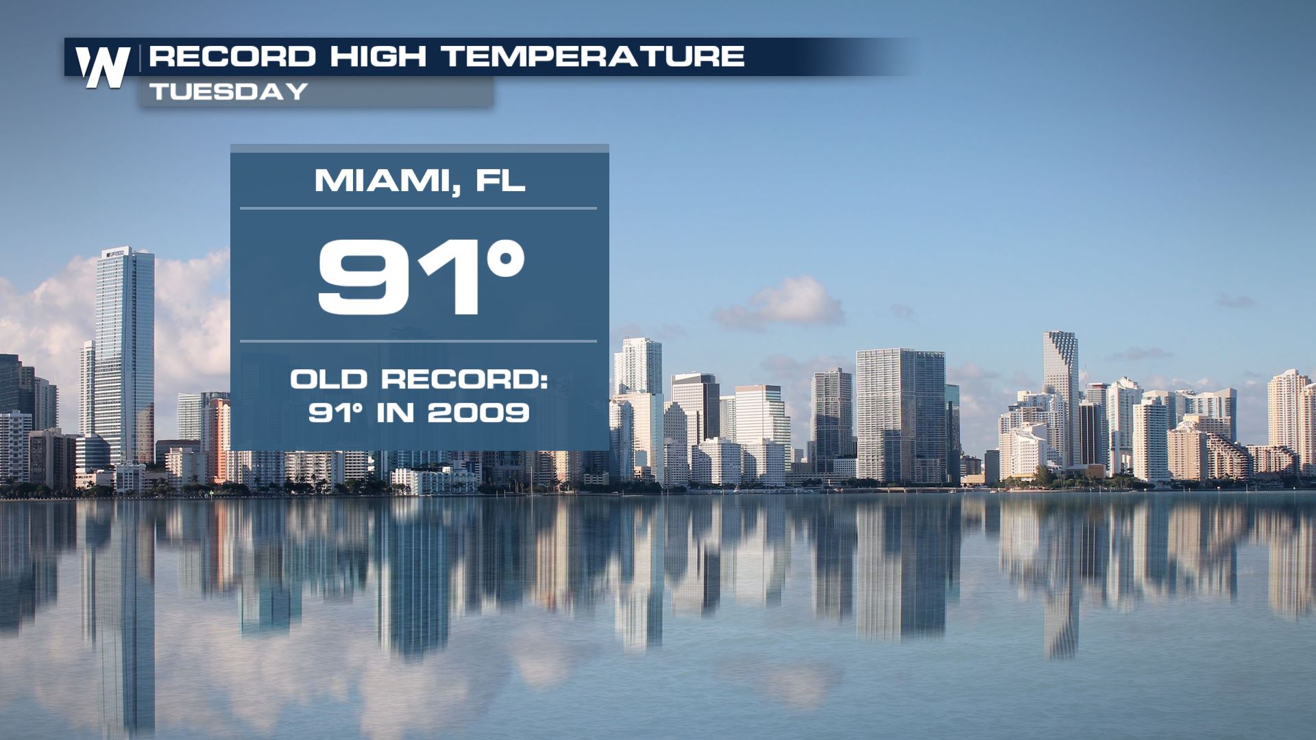
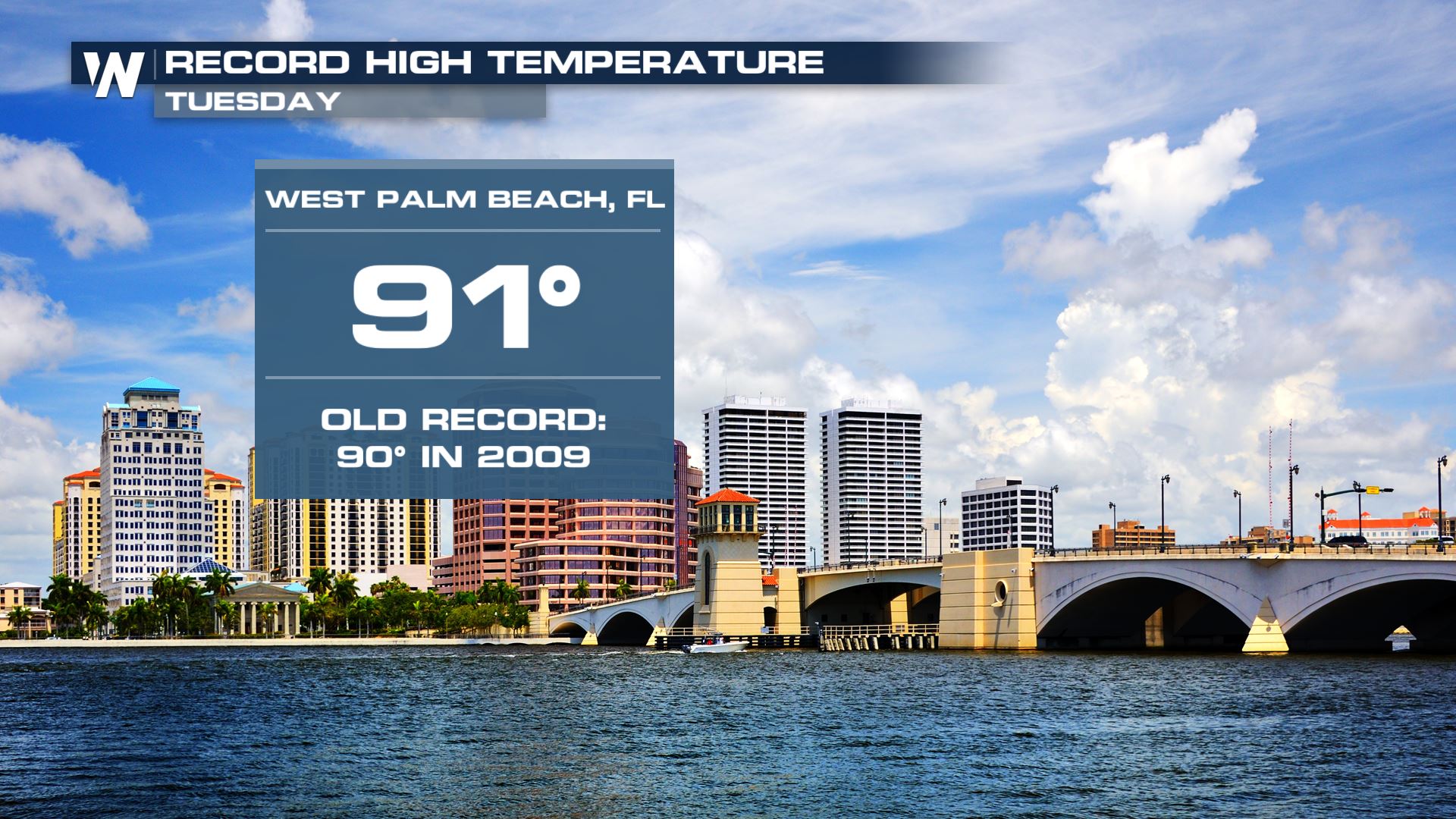
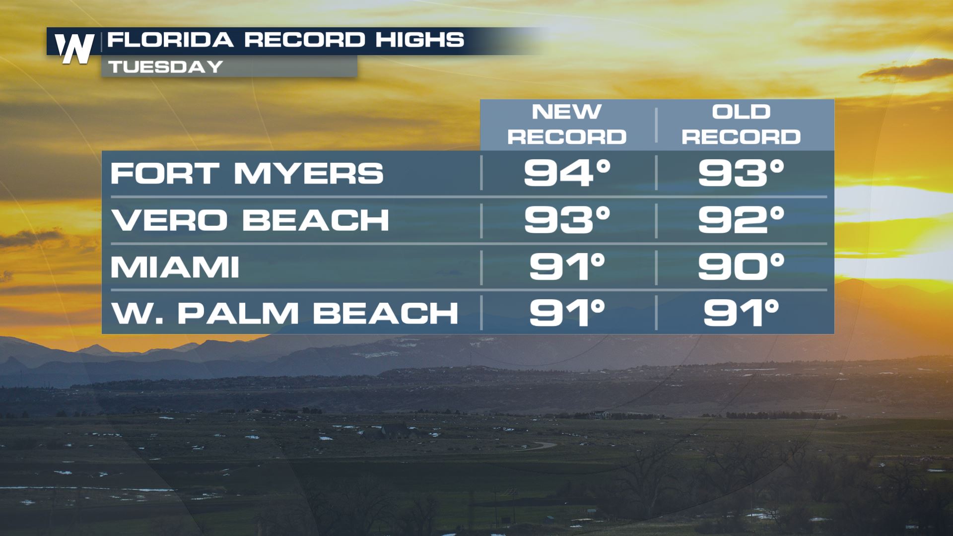
Summer-like heat continues to bake central and south Florida. After a string of record highs on Monday, more records were set on Tuesday.
Miami, West Palm Beach and Fort Myers were among the Florida cities that saw their temperatures soar into the low-to-mid 90s on Tuesday, continuing an unusually hot stretch for south Florida.
 A sharp, southerly flow out of the Caribbean Sea and the Gulf of Mexico is keeping temperatures on the hot side of average throughout Florida.
The heat will stick around for south Florida through Friday as a cold front gradually pushes in from the north. Temperatures in Florida are expected to generally stay in the 90s through Friday before a brief cool down, only for temperatures to likely return to the 90s early next week. Scattered showers and thunderstorms could accompany the relative cool down.
The Climate Prediction Center's (CPC) 6-10 day outlook product again puts Florida in its hotter-than-average zone for next week as well, a strong indicator that more summer-like heat is on tap for the Sunshine State.
Stay with WeatherNation for the latest on the scorching heat across the Sunshine State.
A sharp, southerly flow out of the Caribbean Sea and the Gulf of Mexico is keeping temperatures on the hot side of average throughout Florida.
The heat will stick around for south Florida through Friday as a cold front gradually pushes in from the north. Temperatures in Florida are expected to generally stay in the 90s through Friday before a brief cool down, only for temperatures to likely return to the 90s early next week. Scattered showers and thunderstorms could accompany the relative cool down.
The Climate Prediction Center's (CPC) 6-10 day outlook product again puts Florida in its hotter-than-average zone for next week as well, a strong indicator that more summer-like heat is on tap for the Sunshine State.
Stay with WeatherNation for the latest on the scorching heat across the Sunshine State.All Weather News
More