Tracking Lightning From 22,236 Miles Above
Top Stories
13 Aug 2020 5:14 AM
Did you know that we were able to keep an eye on Monday's derecho that moved through the Midwest not just on radar, but by using data from a satellite more than 22,000 miles above the Earth?
NOAA's next generation satellite series, GOES-R, are equipped with a special instrument that's able to detect and monitor lightning within storms across the entire United States called the Geostationary Lightning Mapper (GLM). It's the first of its kind that's operational in geostationary orbit with a near-uniform spatial resolution of approximately 10 km.
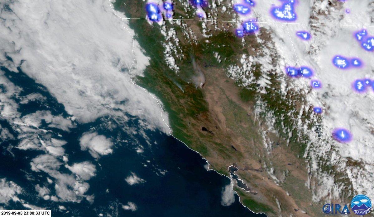
https://twitter.com/i/status/1293156907675529219
Right now we have two watching over Earth -- GOES-16 and GOES-17.
"They detect total lightning so that's both intracloud and cloud-to-ground lightning throughout most of the Western Hemisphere, said Scott Rudlosky, a Physical Scientist with the National Oceanic and Atmospheric Administration. "Since these new satellites launched, they've been helping weather service forecasters across the country to better diagnose the threat from lightning and also severe weather."
This imagery is extremely important to forecasters during events like derechos. A derecho is defined by the Storm Prediction Center as a widespread, long-lived wind storm associated with bands of rapidly moving showers or thunderstorms variously known as bow echoes, squall lines, or quasi-linear convective systems.
"The forecasters that are watching the long line of thunderstorms, in this case, had to put out warnings for the entire line because of the hazards associated with it, but typically the lightning can help the forecasters clue in to what parts of that line are more intense," Rudlosky said.
**LEARN MORE ABOUT THE CHIEF ENGINEER OF THE GLM**
The measurements the GLM takes makes a difference in so many ways both with operational weather and aviation forecasts. This also assists with adding lead time for preparing for all types of natural disasters from tornadoes to hurricanes to everyday thunderstorms all over the country.
https://twitter.com/i/status/1293291099591553024
"Lightning is important to track because of the threat that it poses to anybody that's out in the field or out in their driveway for instance," Rudlosky said. "When you get a quickly intensifying thunderstorm, it indicates that you have a stronger updraft. That stronger updraft actually leads to more charging and more lightning so forecasters can clue into these regions where they're seeing a rapid uptick in lightning often termed a 'lightning jump.' That will give them extra confidence when issuing warnings that the storm is indeed intensifying."
The GLM has also become a crucial tool to use when tropical systems are changing intensity.
https://twitter.com/i/status/1292847142579699713
"With the GLM providing as broad a coverage as it does, forecasters have started to note that not just how much lightning is occuring but where in the storm the lightning is occuring," Rudlosky said. "It provides very important insights into the future of the tropical cyclone."
Want to learn more about the GLM? Check out more from NOAA and NASA here!
All Weather News
More


More Storms for the East Sunday and Monday
A low-pressure system crashing through the Mi
2 Aug 2026 2:20 AM

After Reaching Category 5, Genevieve Weakens in the Pacific
PacificGenevieve formed on last Friday south
2 Aug 2026 1:30 AM

Flooding, Severe Storms Target the Midwest Again
After an active week of storms across the nor
1 Aug 2026 1:40 AM

Flooding Risk Increases as Heavy Rain Targets the Tri-State Area
Tuesday, heavy rainfall moved across the Nort
30 Jul 2026 12:25 AM

Severe Weather: Energy From the Midwest Now in the Southeast
UPPER MIDWEST - Through Monday, dangerous tor
29 Jul 2026 10:30 PM