Severe Weather Wrapping Up in The Southeast

Top Stories
26 Nov 2025 2:55 AM
Tuesday's storms brought damage to some of the communities of the southeastern U.S. As the front marches east overnight and into Tuesday, the Storm Prediction Center has downgraded the risk for severe weather to MARGINAL (level 1 out of 5) across portions of Alabama, Georgia, and Florida.
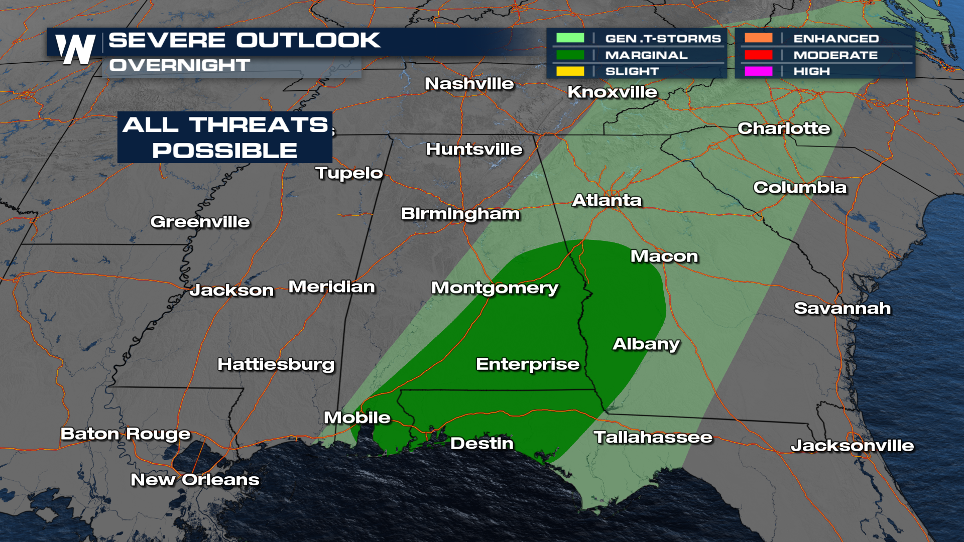
Storm Timing
Storms continue to move east along the cold front overnight. The latest data shows more storms pushing through Alabama, Georgia and the Carolinas through the overnight hours.
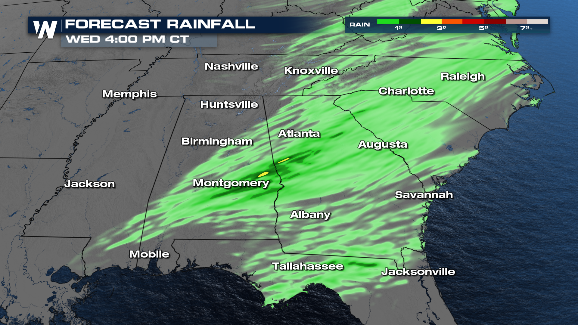
Rainfall
The flooding risk has become more isolated as the front picks up speed, but we could pick up a few quick inches of rainfall across the south and southeast through tonight and into early Wednesday morning as the front exits over the Atlantic.
All Weather News
More

Severe Storms, Flash Flooding Overnight In Midwest
WHAT TO EXPECTIt was a very active day across
22 Jun 2026 1:50 AM


Summer Solstice Kicks Off Father's Day Sunday
Fathers across the country will have to share
21 Jun 2026 5:20 PM

Flood Risk Continues This Weekend for the Gulf Coast States
Numerous flash flood warnings were issued as
21 Jun 2026 1:15 PM

Dry T-Storms & Fire Danger in the West
A weak low-pressure system moving through the
20 Jun 2026 1:40 PM

Tornadoes Tear Through The Midwest, Isolated Severe Storms in the South
EARLIER THIS WEEKMONTROSE, IL - A dangerous t
20 Jun 2026 1:30 AM