Tropical Overview

Special Stories
15 Sep 2019 11:20 AM
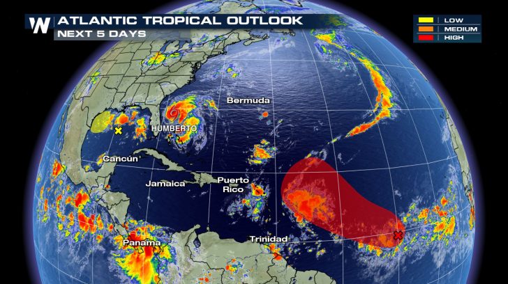 We're at the peak of hurricane season and the Atlantic basin continues to stay active. On top of Humberto being off the coast of Florida, we have two other areas of interest we are keeping our eye on. One area is in the southern Atlantic that has a high chance of development. Another is in the Gulf of Mexico that has a low chance of development.
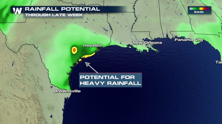 Even if the area in the Gulf does not develop into our next named storm, it will still bring a lot of rain to the coastal regions of Texas. Throughout the work week, we could see close to 4 inches of rainfall. This could lead to dangerous flooding for some cities.
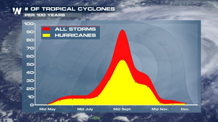 We're at the peak of hurricane season now, but we'll keep a close eye on the tropics for the rest of the season. Just because we are heading towards the end of hurricane season, it does not mean we will not see a major hurricane. This is still very possible.
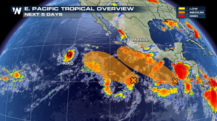 The eastern Pacific is staying just as active as the Atlantic. We have Kiko that is a CAT 3 hurricane and looking to strengthen even more. Luckily, this storm will stay off in the waters and is not looking to impact land. There are two other areas of interest behind this system that both have a medium chance of development over the next 5 days.
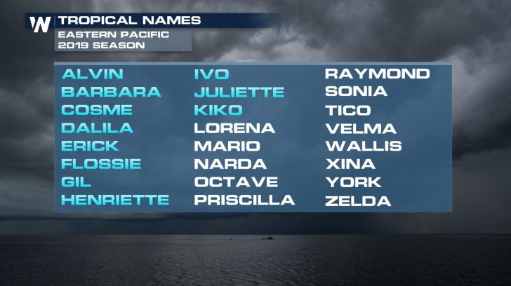 If we get our next named storms, we could possibly see Lorena and Mario by the end of the work week.
All Weather News
More

More Storms for the East Through Monday
A low-pressure system that moved through the
3 Aug 2026 12:20 PM


After Reaching Category 5, Genevieve Weakens in the Pacific
PacificGenevieve formed last Friday south of
3 Aug 2026 12:30 AM

Flooding, Severe Storms Target the Midwest Again
After an active week of storms across the nor
1 Aug 2026 1:40 AM

Flooding Risk Increases as Heavy Rain Targets the Tri-State Area
Tuesday, heavy rainfall moved across the Nort
30 Jul 2026 12:25 AM