Increasing Flood Risk in the Upper Midwest
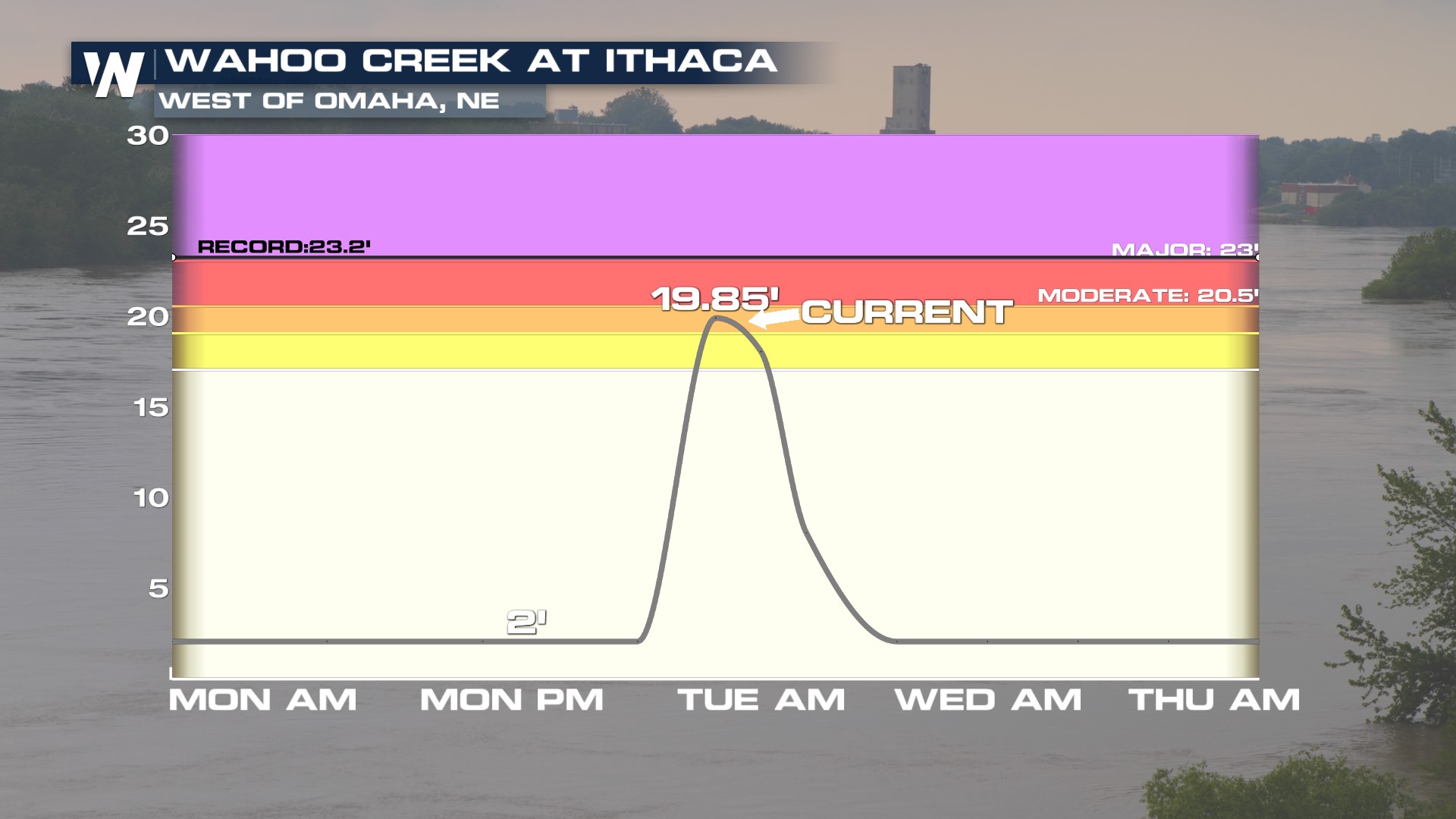
Much of the Upper Midwest and Northern Great Plains poses a risk for flooding on Tuesday, thanks to the possibility of severe storms. Some parts of Iowa, Minnesota, and Wisconsin have already seen over 6" of rainfall causing rivers, creeks and streams to overrun their banks and creating street flooding, especially in the city of Omaha. Many creeks are rapidly rising to major crests.
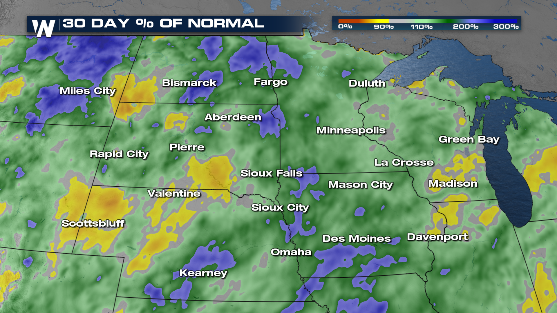
 One of the factors of this flood threat is that the ground is fairly very saturated in many of these states already. This heightens the flood risk that we have headed into the middle of the workweek.
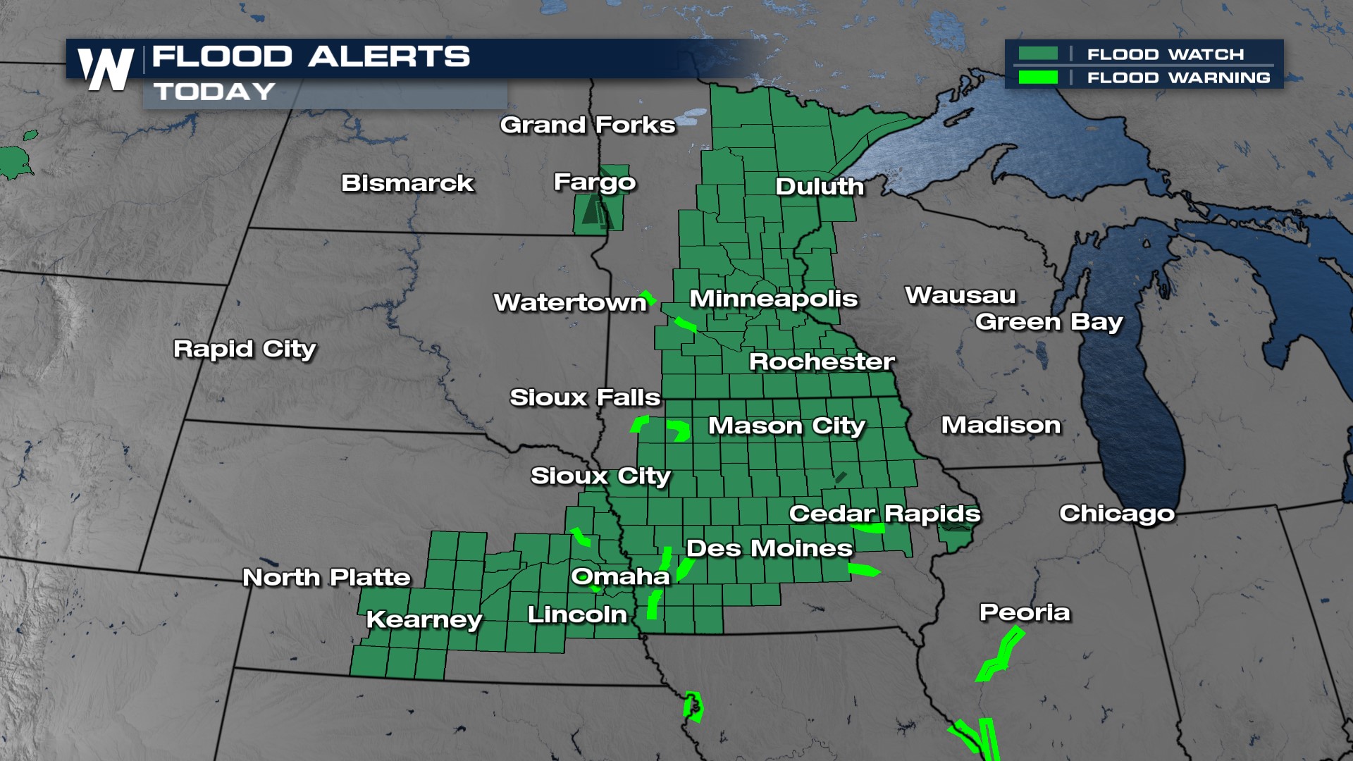
 Preemptively, there's an abundance of flood alerts issued through the arrowhead of Minnesota, stretching through Iowa, and reaching into central Nebraska.
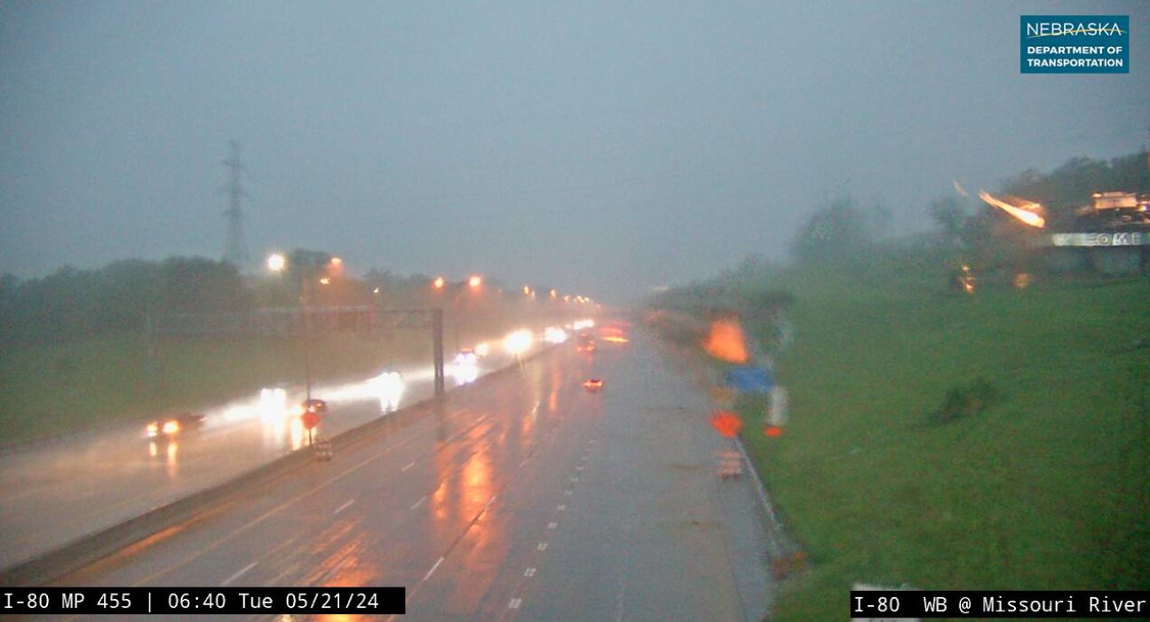
 Early Tuesday morning was responsible for flash flood warnings in and around Omaha and Des Moines. It's likely that much of these areas, and the surrounding spots, have already seen 2-4+". This is not a good thing considering more storms are later today. We saw reports of roadways and interstates flooding early on Tuesday. Below is the view from I-80 as you're nearing or leaving the I-480 split, just north of the Henry Doorly Zoo.
