Over a Foot of Rain Falls in Southwest Florida

Flash flooding continues to hit the Southeast hard - especially Florida. A trough of low pressure is still spinning in parts of the southeast, keeping the rain chances nearby. A stationary storm sat and rained over the same spot, on Sanibel Island, for much of Sunday morning (8/10). That efficient tropical rain added up to over a foot of rain by the time the weekend was done. Florida is normally a tad more resilient to fresh water flooding, but nowhere can handle that much rain. It led to scenes reminiscent of a landfalling tropical system Sunday morning.
Forecast
As the upper-level trough with the tropical moisture moves north, rounds of storms are expected, with the heaviest rain possible from Florida out to the coasts of the Carolinas and eventually farther west toward the Panhandle and Mobile.
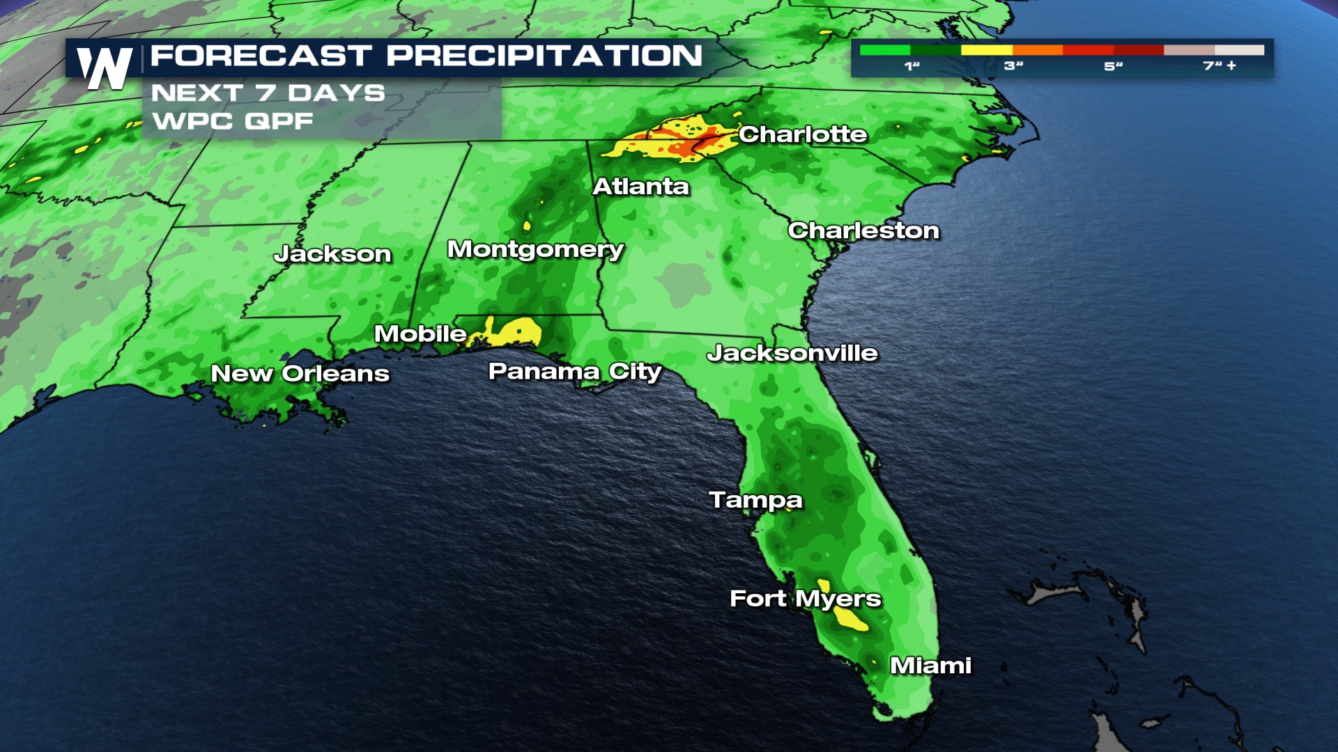
The risk of heavy rainfall and flash flooding will focus on the Gulf Coast Tuesday and Wednesday.
Tune into the eastern regional forecast :10 past the hour for more details.


