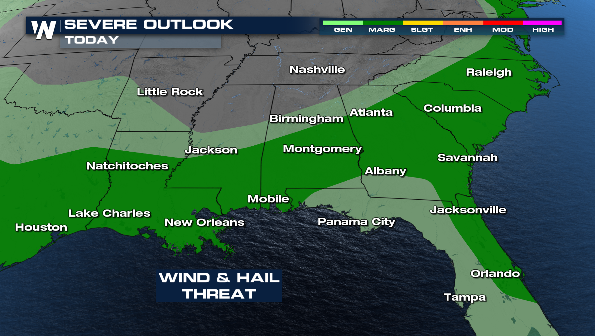
Severe Storms Possible Again Today in the Southeast

We saw an active day yesterday across the southeast with severe storms bringing damaging winds and hail. Some portions across the southeast also experienced significant rainfall. Century, Florida saw 3.67" of rain in the last 24 hours. We have another round of strong storms today, as a boundary lingers.
TODAY
More severe weather is possible with clusters of storms moving from the Southern Plains back into the Deep South. The primary threats will be damaging winds and hail.
 TIMING
Some storms have developed, and throughout the day, we can see more activity. As the cold front moves offshore, we can see storm chances decrease for areas like the Carolinas.
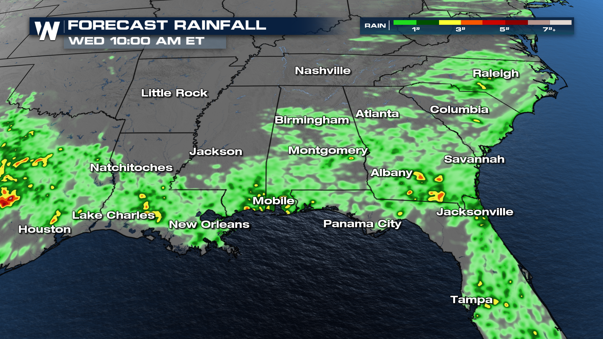
Rainfall
Heavy rainfall remains a critical concern, with hourly rates surpassing one inch in many areas. This raises the alarm for flash flooding, especially in urban centers and low-lying zones with poor drainage. Not to mention the plentiful rain we've seen in days past. Any pockets of 2-3 inches of rain will lead to flooding issues.