Unseasonably Cool and Wet Weather Gripping the Northeastern U.S.

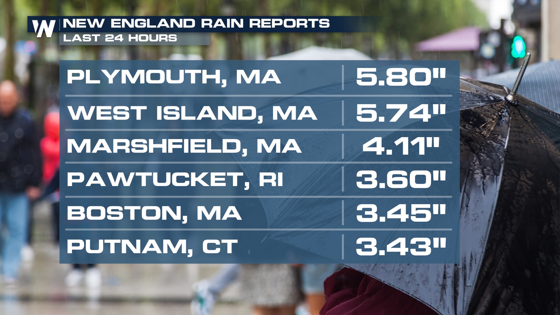
A coastal low is moving up the Northeast coast, continuing to bring rainfall to New England. Meanwhile, a low-pressure system iback towards the West is keeping things unsettled throughout the weekend for the entire Northeast. Along the coast, there will be high winds and big waves to go along with the rainfall. However, in the past 24 hours New England was met with rainfall totals close to 6 inches.
 The secondary low-pressure system over the Great Lakes is also set to deliver an extended stretch of cool and rainy weather from the Ohio Valley, Mid-Atlantic, and the Northeast. As this system lingers, residents across these areas can expect periods of steady rain, with some isolated thunderstorms developing, particularly in southern New England. While the risk of excessive rainfall remains marginal, localized downpours could still lead to minor flooding concerns in susceptible areas.
SET-UP
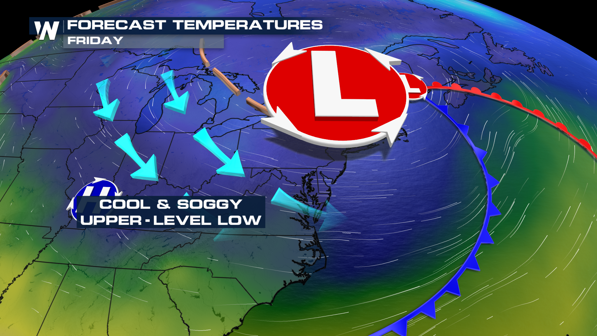
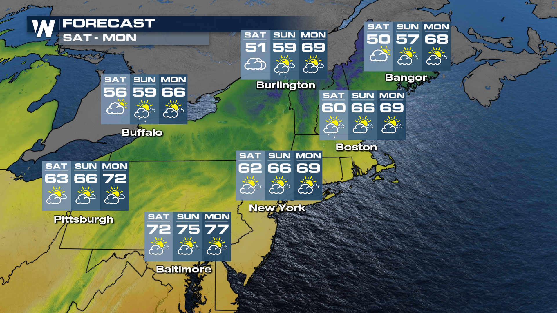
Beyond the rainfall, a stagnant upper-level low positioned over the Great Lakes and Northeast is ushering in an unseasonably cool air mass. Over the coming days, much of the Northern Plains, Midwest, Northeast, and Mid-Atlantic will experience high temperatures ranging from the 50s to the low 60s. These temperatures represent a stark departure from seasonal norms, with temperatures running 20 to 35 degrees below average!
The dramatic cooldown has led to a few record-breaking low maximum temperatures over the last couple of days. From the Ohio Valley to the Northeast, cities and towns should brace for chilly days more typical of early spring or even late winter, rather than late May.
 FORECAST
A couple of inches are likely across much of the region, with the heaviest totals (up to 4 inches) expected across southern New England.
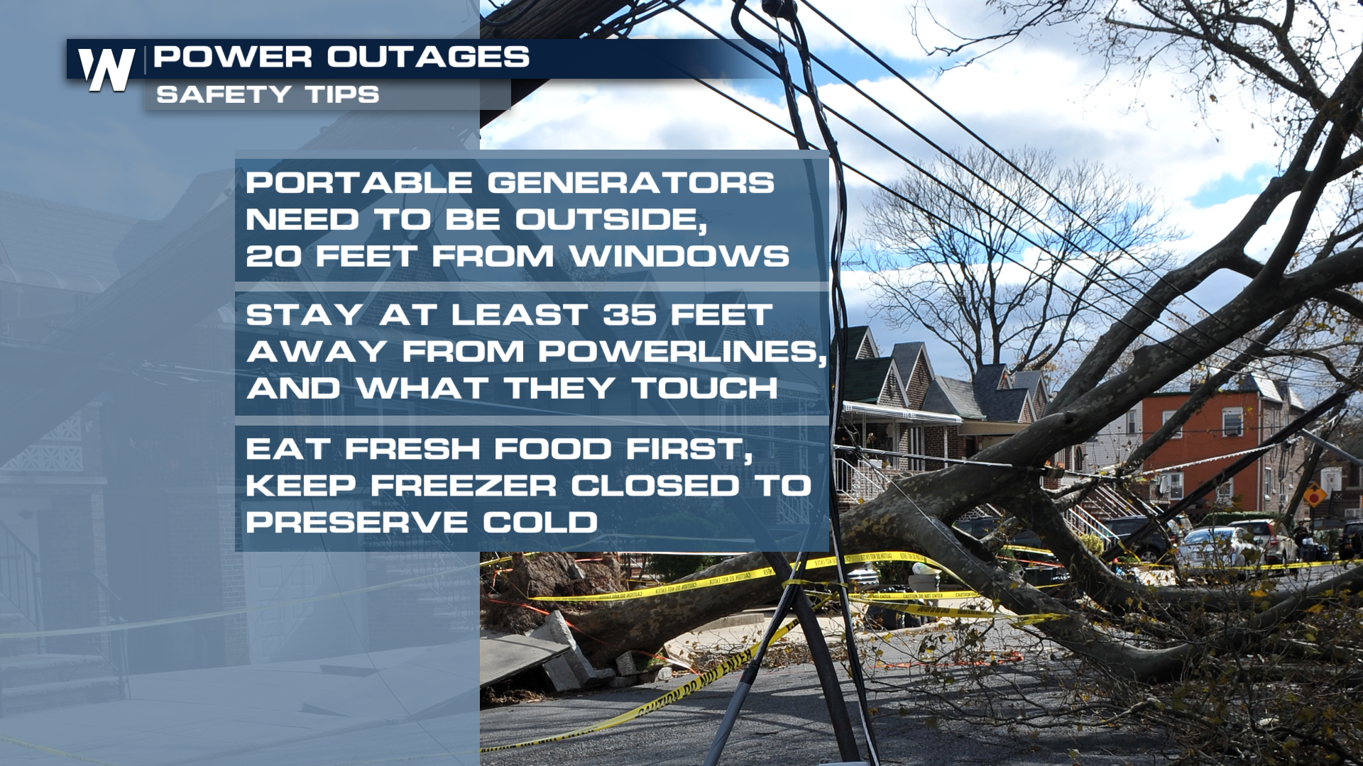
POWER OUTAGES
Saturated soils plus strong winds? That’s a recipe for scattered power outages. If you plan to use a generator, remember to run it at least 20 feet away from your home for safety.
 Make sure to tune into the Eastern Regional forecast, :10 past the hour for more details.


