A Chat with NOAA’s Lead Seasonal Hurricane Forecaster
Dr. Gerry Bell, NOAA’s lead hurricane outlook seasonal forecaster, has dedicated his career to solving that challenge. After 30 years with NOAA’s Climate Prediction Center (CPC), Bell will retire at the end of 2020, having spent years developing and advancing the science to make hurricane seasons more predictable. His expertise enabled NOAA to launch its first-ever seasonal outlook for hurricanes in 1998 — an essential product that helps communities in hurricane-prone areas prepare.
We sat down with Dr. Bell to discuss all that, and more:

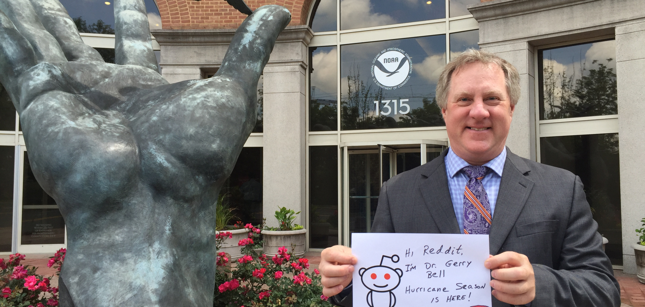
[Dr. Gerry Bell is the lead seasonal forecaster for NOAA's Climate Prediction Center. In May 2016, he held a live Reddit online Q & A about hurricane season forecasting and the importance of preparedness just prior to the start of hurricane season (June 1). (NOAA National Weather Service)]
How did your career begin? Have you always worked at NOAA?
I began my career in 1990 right here at NOAA’s Climate Prediction Center within the National Weather Service. I had just completed my dissertation from the State University of New York in Albany, New York, where I focused on jet stream dynamics and storm formation. My background fit perfectly into CPC’s goal of improving the understanding, monitoring and prediction of global weather and climate variability.
What factors made it possible for you to develop the first seasonal hurricane outlook?
The right chemistry of science and leadership came together to make the first seasonal outlook possible. I worked with my CPC colleagues to exhaustively research and identify the climate patterns that control seasonal hurricane activity and to develop a new set of forecasting tools and diagnostics for NOAA.
Around that time, the leadership team at the National Centers for Environmental Prediction (NCEP) including Dr. Louis Uccellini, the current director of the National Weather Service, approached me about developing a seasonal hurricane outlook based on NOAA science. With Louis’ support and that from a team of scientists across NOAA, I knew we would succeed.

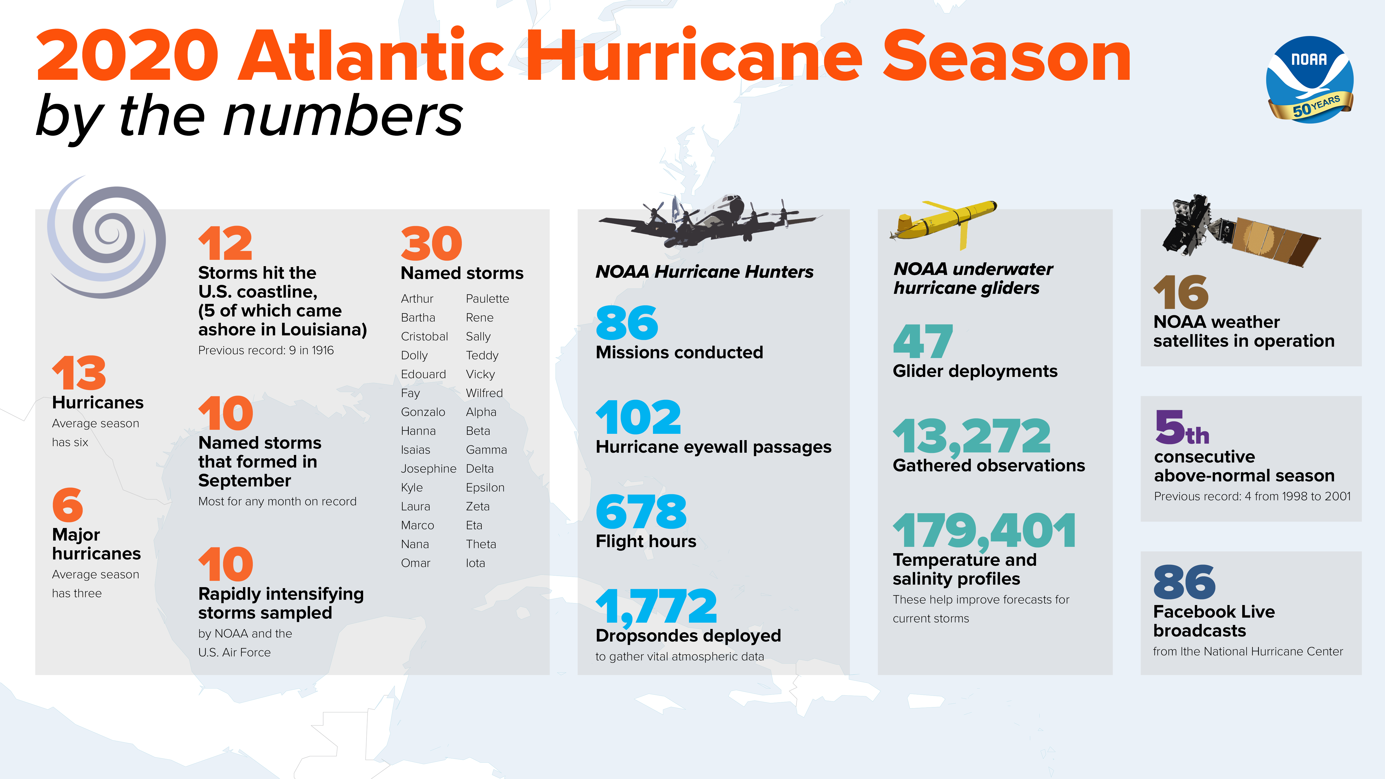
[This infographic highlights key facts and statistics from the 2020 Atlantic Hurricane Season (at the time of publishing on November 24). The Atlantic hurricane season officially ended November 30, but storm activity in the tropics can sometimes continue beyond that date. (NOAA National Weather Service)]
The 2020 hurricane season was one for the history books. Why was this a record-breaking season?
We had a record 12 storms make landfall in the U.S. and the most named storms on record this year. As we predicted, the combination of La Nina and other atmospheric and oceanic conditions, like warmer-than-average sea surface temperatures and an enhanced west African monsoon, all helped make this recording-breaking, extremely active hurricane season possible.
In addition, the ongoing warm phase of the Atlantic Multi-Decadal Oscillation (AMO) — which began in 1995 — has favored more, stronger and longer-lasting storms. All of these elements coalesced into an extremely active 2020 hurricane season.
As you look back on your career, which advancements are you most proud of?First and foremost, I am proud of our ability to accurately predict active hurricane seasons. This work undoubtedly helps ensure that more people are prepared, and more lives are saved as a result. This capability was made possible because of sustained planning and investment by NOAA and NWS leaders in new and improved technology and modeling.
Today, we monitor global weather patterns every six hours. We receive this data in near-real time, and our forecast tools have improved and expanded greatly over the years. For example, we now have a suite of climate models at our disposal — which only became available in 2008 — and these models are constantly evolving.

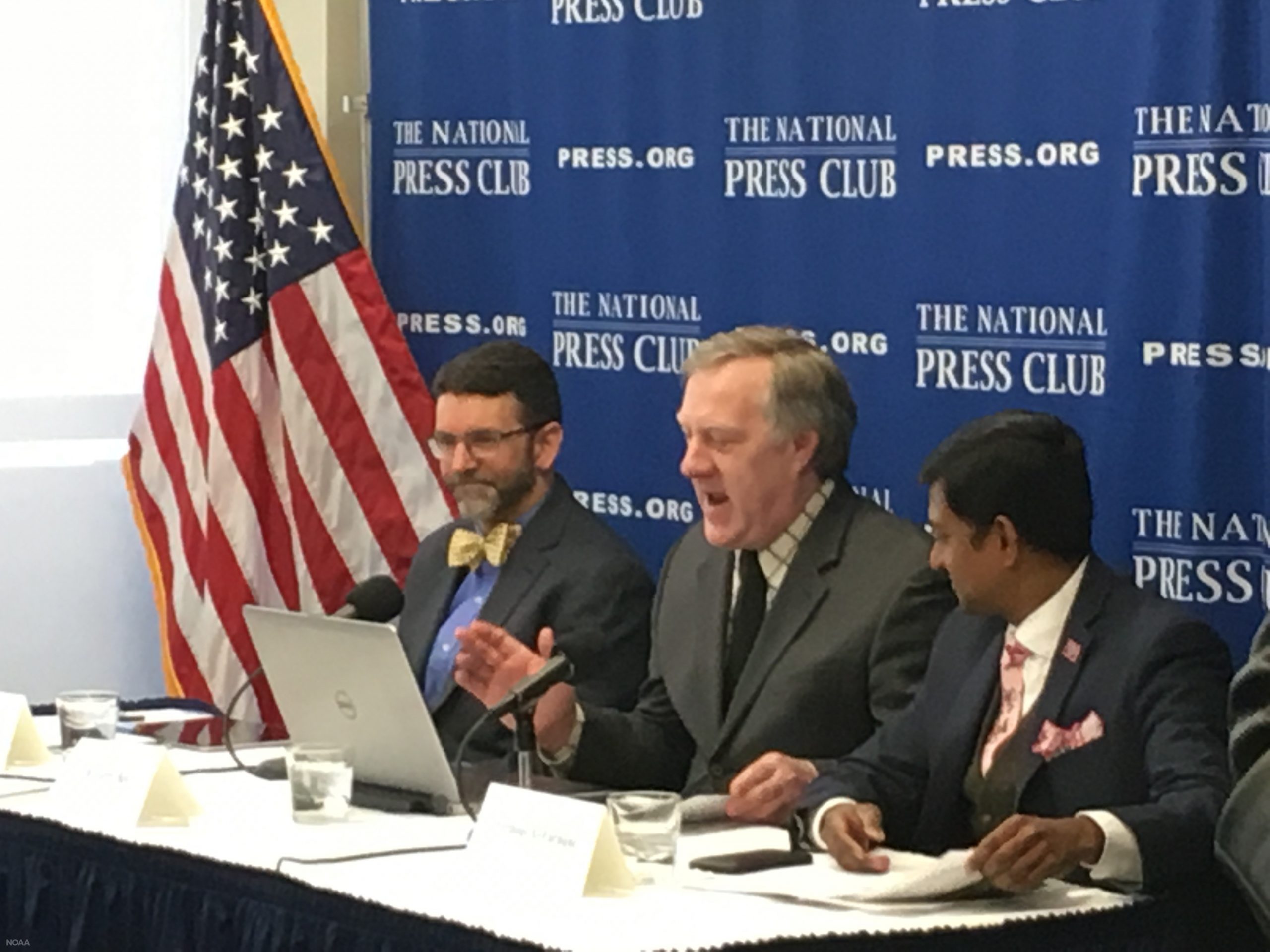
[April 2018: NOAA's lead seasonal hurricane forecaster, Dr. Gerry Bell, delivers remarks about the accuracy of NOAA’s seasonal outlooks and the importance of hurricane season preparedness at the National Press Club in Washington, D.C. (NOAA)]
Overall, there have been extensive improvements in our ability to monitor, understand and predict global climate patterns and determine how these patterns affect hurricane activity. I am also proud of my work to expand public awareness and understanding about hurricanes and climate variability, and especially the importance of hurricane preparedness.
Looking ahead, what do you see is the future of seasonal climate prediction?
The climate models in use today are getting better and better. I look forward to seeing where science will take us in another few decades given that NOAA is committed to the ongoing development of the nation’s weather and climate models.
Looking well out into the future, it would be great to someday be able to make accurate seasonal hurricane landfall outlooks. I don’t know if this will ever be possible, but the next generation of climate scientists have a lot of exciting and interesting challenges to take on.
Edited for WeatherNation by Mace Michaels