Avalanche Risk Along Some Northeast Mountains
Special Stories
14 Mar 2018 10:48 PM
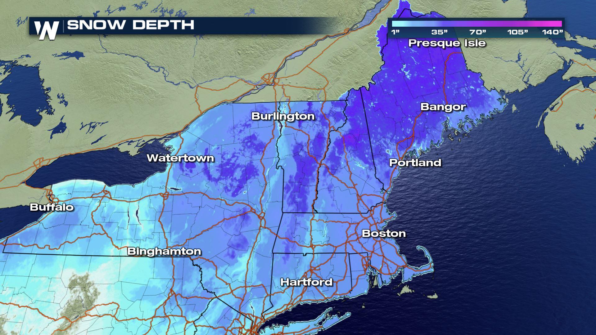
After feet and feet of snow from back-to-back-to-back nor'easters, parts of the Northeast have avalanche dangers. In fact avalanches have been reported at some area mountains, which is more of a rare case for the less-steep and tree-filled mountains of New England. That said, we interviewed Matthew Clay, Meteorologist at the National Weather Service in Burlington, Vermont for a local perspective of the avalanche danger there.
https://youtu.be/yO3R8q3A9IY
WeatherNation Question: How have the recent storms increased the avalanche danger?
Clay - NWS Burlington: "What we're looking at right now is the fact that we had several melts and refreeze events which have left the slopes pretty icy. With this last event, we're looking at 20-30 inches at higher elevations and this heavy, wet snow adheres to the ice at first but when it gets too heavy, these slabs of snow begin to fall off the mountains."
Q: How rare is this?
A: "We don't have specific numbers but this only happens a handful of times. Usually you need a slope of 30 to 45 degrees in order to trigger an avalanche, but many mountains aren't that steep here, plus Vermont's Green Mountains have a lot of trees and that anchors the snow. So that acts to anchor the snow and prevent the slabs from falling and since we've had the avalanches it makes it a little more rare."
Q: What are you telling folks to watch out for?
A: "We're really urging people that if you're going to go out go out in pairs or bigger groups just in case something happens. Try to stick to the trails because they avoid the steepest areas and you'll find more stable terrain."
Q: What areas are you most concerned about?
A: "We've had mutlpiple reports of avalanches at Smugglers' Notch so that's the area we've heard about but also the northern Adirondacks and Green Mountains."
For WeatherNation, Meteorologist Steve Glazier
All Weather News
More
Wildfire Outbreak in the Pacific Northwest
SPOKANE, WA - On Saturday, August 1st, the Ol
3 Aug 2026 1:55 AM

More Storms for the East Through Monday
A low-pressure system that moved through the
3 Aug 2026 1:50 AM


After Reaching Category 5, Genevieve Weakens in the Pacific
PacificGenevieve formed last Friday south of
3 Aug 2026 12:30 AM

Flooding, Severe Storms Target the Midwest Again
After an active week of storms across the nor
1 Aug 2026 1:40 AM

Flooding Risk Increases as Heavy Rain Targets the Tri-State Area
Tuesday, heavy rainfall moved across the Nort
30 Jul 2026 12:25 AM

Severe Weather: Energy From the Midwest Now in the Southeast
UPPER MIDWEST - Through Monday, dangerous tor
29 Jul 2026 10:30 PM