A Wintry Northwest Continues

A pattern change for the West has arrived! Last weekend, moisture moved in from Hawaii courtesy of an atmospheric river aka the Pineapple Express. On top of the moisture, cold weather has filtered into the Pacific Northwest. It's been cold enough that the snow levels have been dropping down to sea level at times!
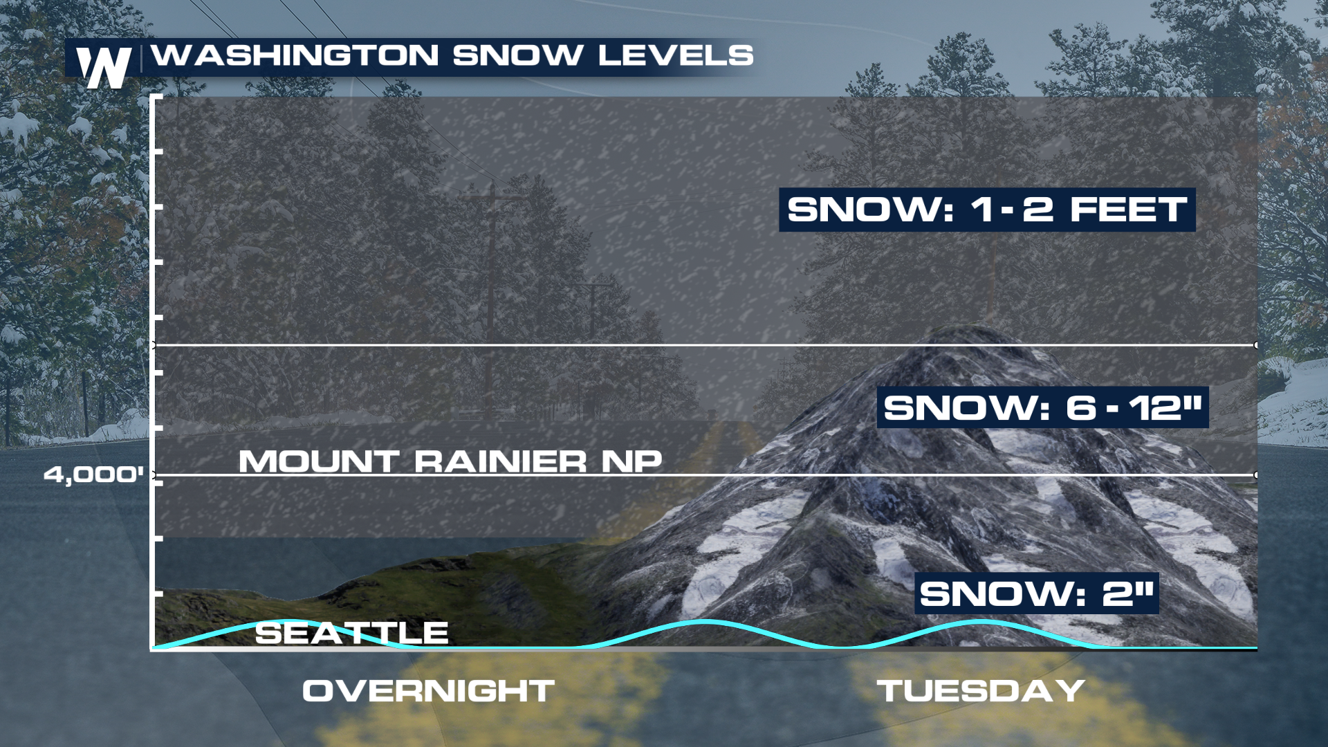 The question is, how much will add up? So far, in the cities of Seattle and Portland, not enough to cause problems. But certainly, some grassy, elevated surfaces could pick up a coating to 2 inches over the next few days.
The heaviest snow will fall just to the south, with better dynamics in play. Some places could be measuring the snow in yardsticks by Wednesday!
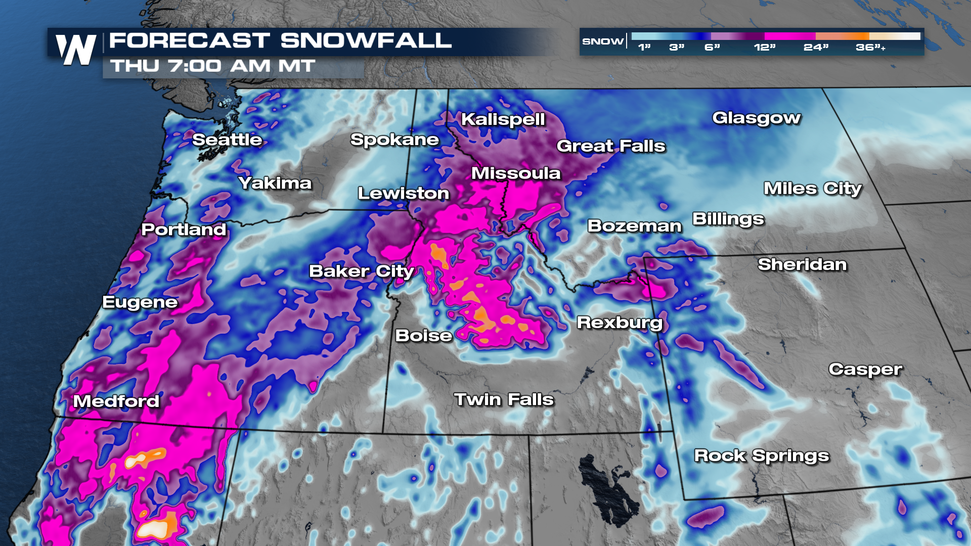
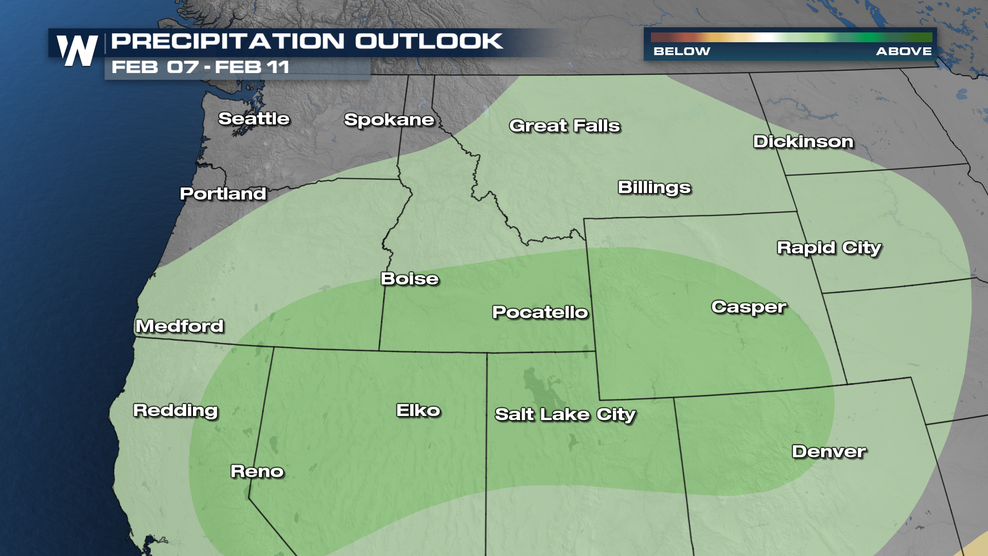
Some higher elevations can see upwards of 3 plus feet of snow! Let's look at the full first week of February. The 6-10 day precipitation forecast indicates confidence in above-normal total precipitation.
 Tune into WeatherNation for the latest updates.


