After 2 Feet of Rain, Storms Winding Down in Florida
Torrential rainfall has been an issue in the Sunshine State this week with Fort Lauderdale setting a daily rainfall record of over 9" in one day. The last three days have brought over 2 feet of rain to Cypress National Reserve south of I-75 in "Alligator Alley" of Florida. Miami Beach has seen over a foot; a flash flood emergency was issued on Wednesday due to the torrential rainfall which stranded cars and flooded homes.
This is all thanks to an area of low pressure that has funneled high humidity, and high moisture air into Florida the last few days. The National Hurricane Center (NHC) has been monitoring this region for potential tropical development and has labeled it a LOW chance of development. The low (stationary over Florida Tuesday through Thursday) is finally moving into the Atlantic, paralleling the U.S. southeast coast - thankfully with no impacts expected to the Carolinas. Lingering showers and storms tied to a stalled frontal boundary off our area of low pressure (stalled front = area of lift) will impact Florida through Sunday, with decreasing rain coverage each day.
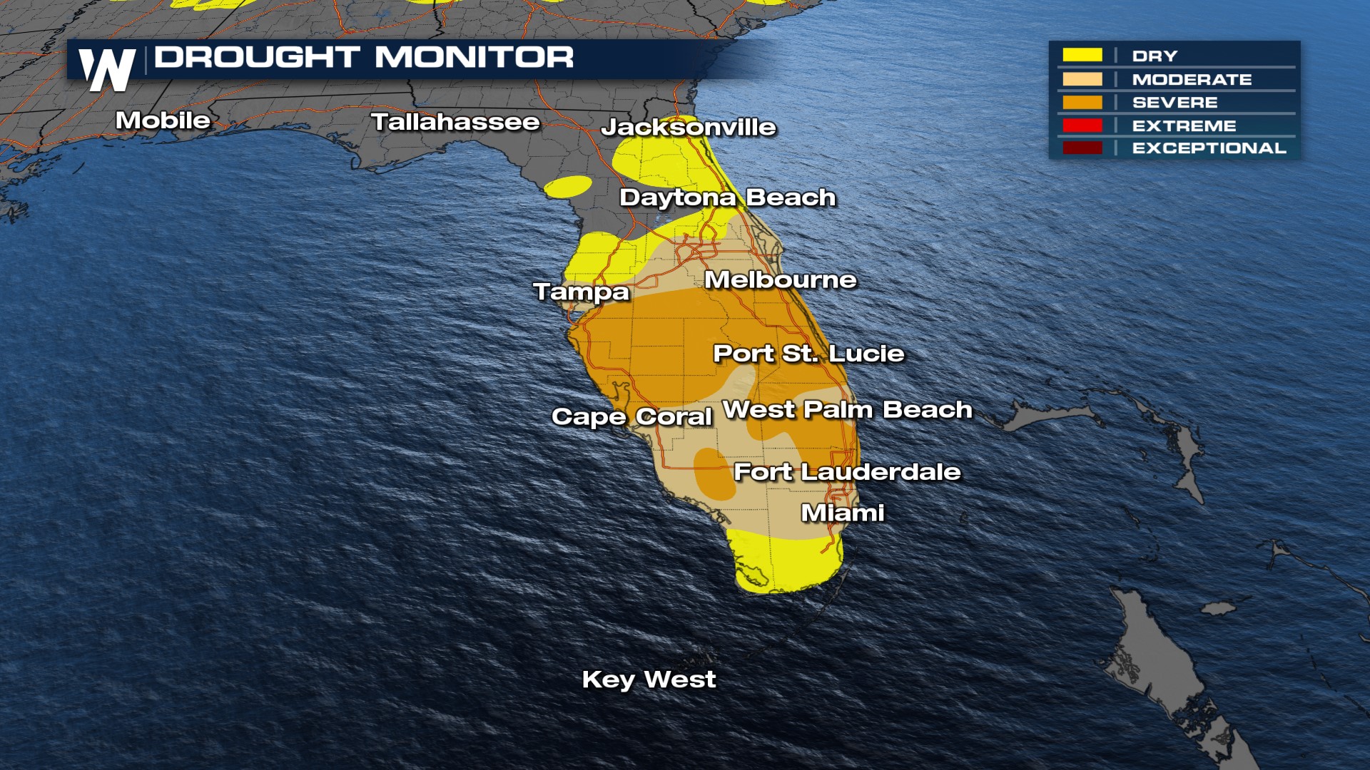
Additional rainfall totals up to 4" are possible with isolated higher totals. An additional factor to the extreme rainfall totals is the "severe" drought conditions in Florida after extremely hot May the grounds and soils have "hardened up" meaning new rainfall has had a hard time absorbing into the soil.
