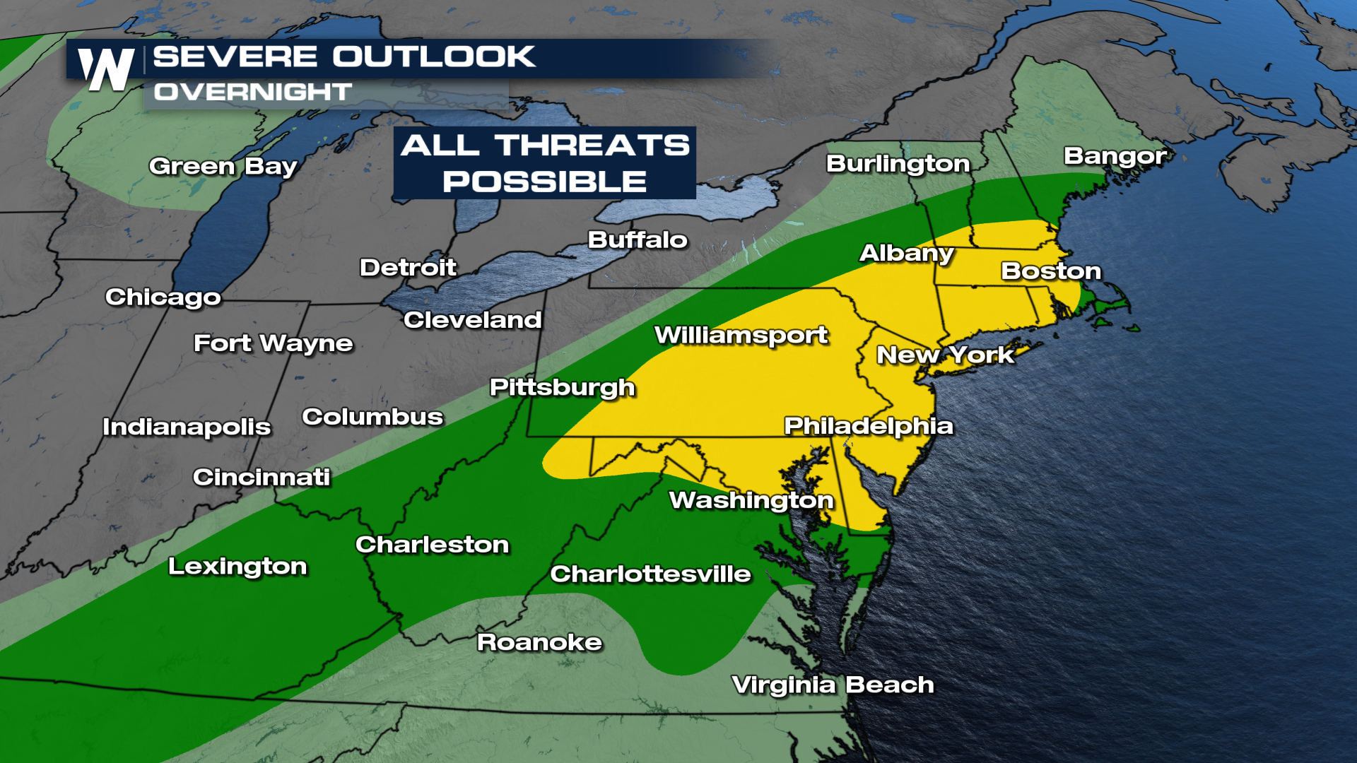
Heightened Tornado Threat in New England

High heat, along with increased moisture, has led to severe storms over the past few days in the Northeast; millions remain under heat alerts through the weekend with renewed chances for severe weather. On Sunday the cold front associated with our area of low pressure arrives into the region, bringing more storms from Maine to Tennessee.
After a very busy day in the Northeast, the severe threat will continue into Monday morning. The Storm Prediction Center has issued a slight risk for a large portion of the Northeast overnight. All severe modes will be possible including damaging winds, hail, and a few tornadoes will be possible.
 A few lingering showers and storms will remain overnight as a cold front moves to the east. Although isolated any storms that develop overnight will have the potential to be strong to severe. Behind the front, we see drier conditions, and the front will help knock down the temps a few degrees, bringing relief from the heat for some folks.
In addition to the severe weather threat, we can see localized areas of heavy rain. With the heavy rain will come the flooding concerns. Please always use caution when approaching flood waters, and turn around and never attempt to drive through flooded roads.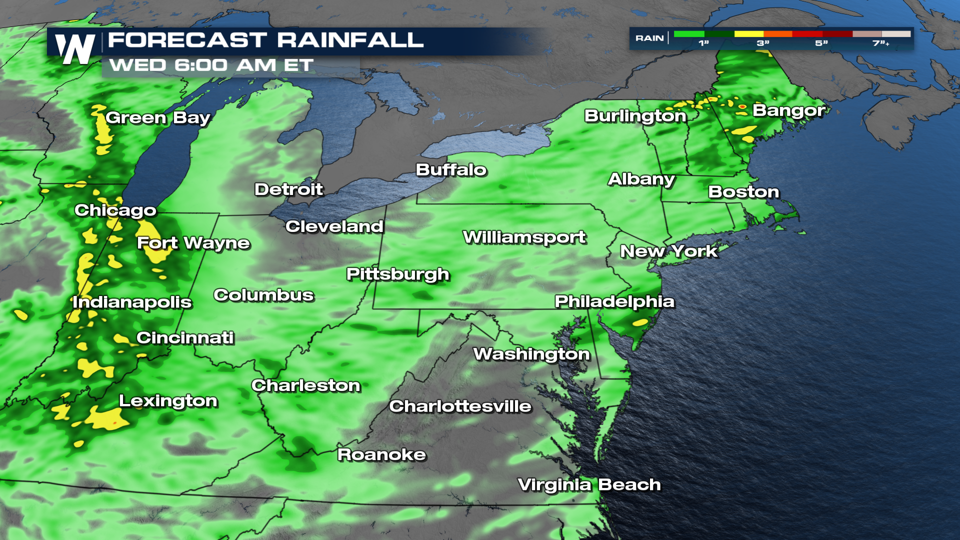
More of your Eastern Regional Forecast can always be found :10 past the hour on WeatherNation.


