Hot and Stormy for Texas and the South

Top Stories
21 Aug 2025 1:40 AM
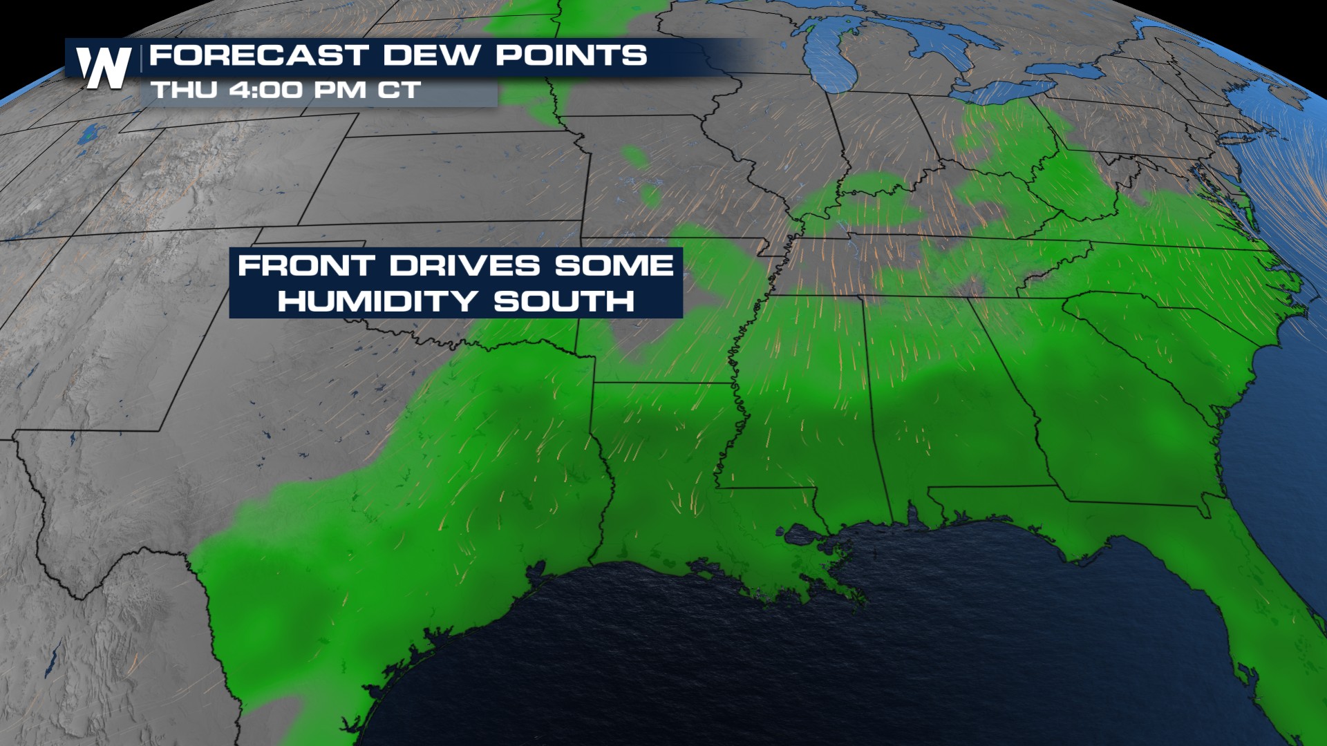
Air temps remain warmer than normal across the South and Gulf Coast. But, a cold front will knock some of the humidity down across the Plains. High humidity remains in place across the South.
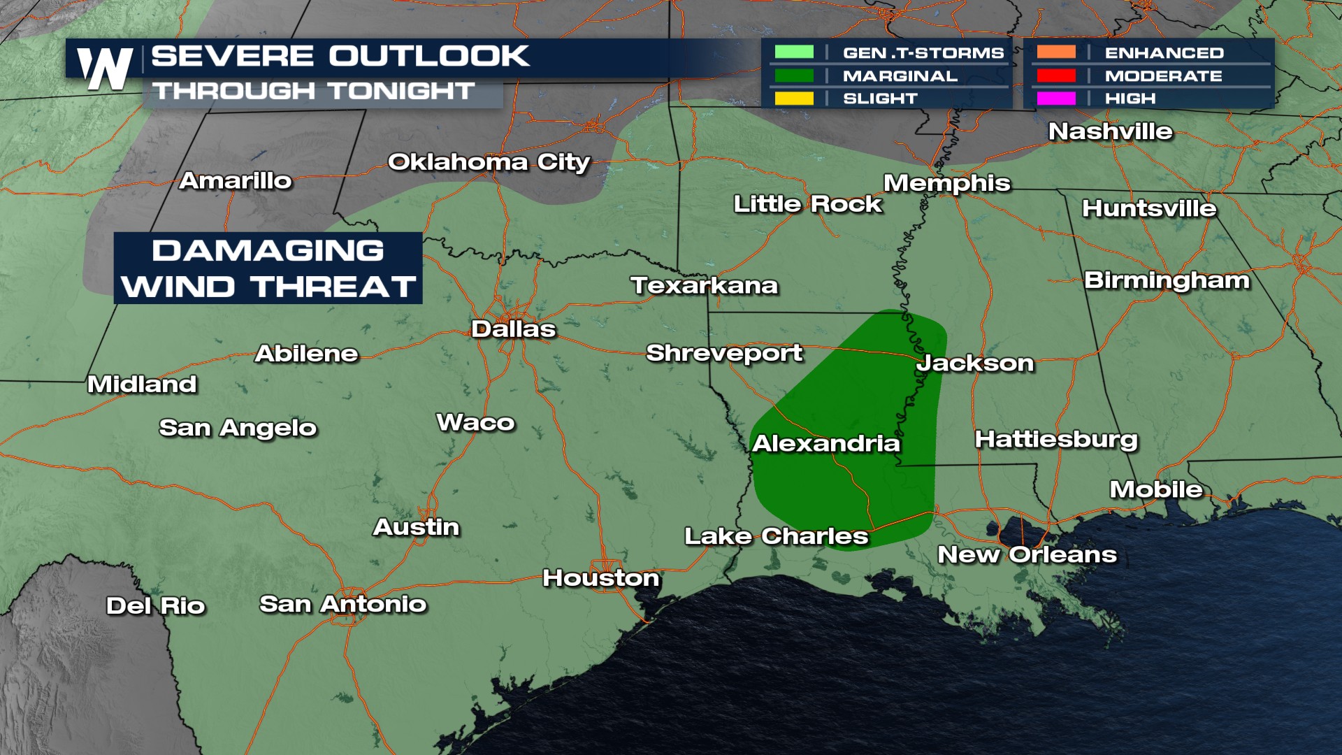
A few severe thunderstorms with strong wind are possible through Wednesday night.
Timing
Showers and thunderstorms will remain possible from Texas through Georgia over the next couple of days, as the cold front stalls out and becomes stationary. With the amount of heat and moisture in the atmosphere, storms could become severe at times.
Stay with WeatherNation for the latest.
All Weather News
More

Severe Storms, Flash Flooding Overnight In Midwest
WHAT TO EXPECTIt was a very active day across
22 Jun 2026 1:50 AM


Summer Solstice Kicks Off Father's Day Sunday
Fathers across the country will have to share
21 Jun 2026 5:20 PM

Flood Risk Continues This Weekend for the Gulf Coast States
Numerous flash flood warnings were issued as
21 Jun 2026 1:15 PM

Dry T-Storms & Fire Danger in the West
A weak low-pressure system moving through the
20 Jun 2026 1:40 PM

Tornadoes Tear Through The Midwest, Isolated Severe Storms in the South
EARLIER THIS WEEKMONTROSE, IL - A dangerous t
20 Jun 2026 1:30 AM