Hurricane Hunters Concluding Missions into Atmospheric Rivers
Special Stories
3 Mar 2022 1:30 AM
Photos and Story by Staff Sgt. Kristen Pittman, 403rd Wing Public Affairs
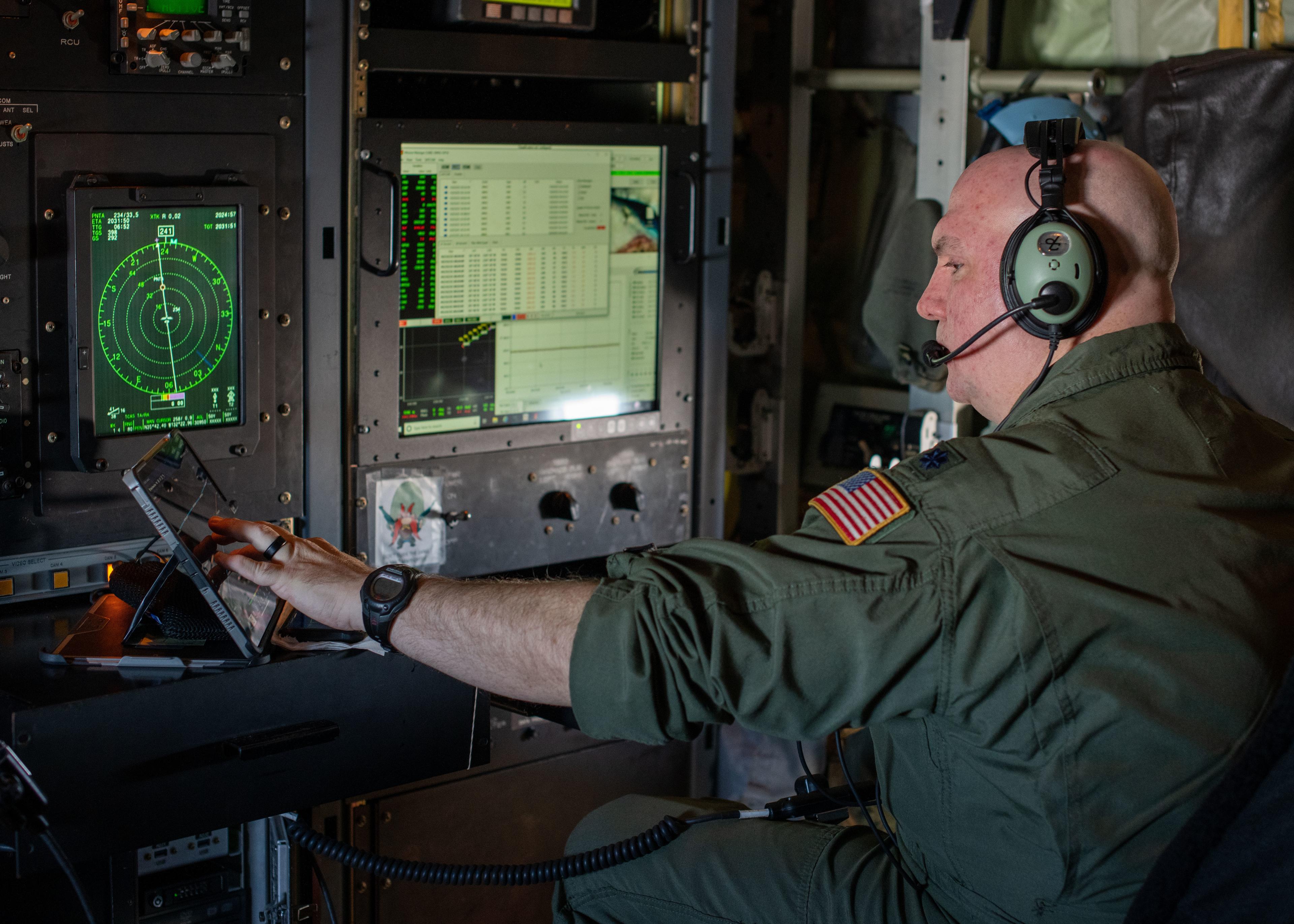
[Top image: Lt. Col. Tobi Baker, 53rd Weather Reconnaissance Squadron aerial reconnaissanc weather officer at Keesler Air Force Base, Miss., looks at data during an Atmospheric River reconnaissance mission Feb. 22, 2022. (U.S. Air Force photo by Staff Sgt. Kristen Pittman)]
The Air Force Reserve’s 53rd Weather Reconnaissance Squadron Hurricane Hunters from Keesler Air Force Base, Miss., are nearing the end of their 13-week stay out west at Mather Air Field, Calif., where they are stationed supporting the National Winter Season Operations Plan.
[embed]https://twitter.com/53rdWRS/status/1494376391114059777[/embed]
The Hurricane Hunters are assigned to the 403rd Wing and are the only unit in the Department of Defense tasked with aerial weather reconnaissance, and while the squadron is known for supporting the National Hurricane Operations Plan by flying directly into tropical systems, they also provide their recon services during winter months for winter storms and in support of the Atmospheric River Reconnaissance program.
Atmospheric Rivers are bands of moisture that come across the Pacific and, on average, carry as much as 25 times the water equivalent of the Mississippi River in the form of vapor. As a result, these systems account for up to half of the West Coast’s annual precipitation, and, subsequently, the flooding.
The AR program is led by University of California San Diego’s Center for Western Weather and Water Extremes (CW3E) at Scripps Institution of Oceanography in San Diego who use the data collected by 53rd WRS and the National Oceanic and Atmospheric Administration Aircraft Operations Center’s Hurricane Hunters for forecasting and research purposes.
“The purpose of our mission is to get over data sparse areas in the Pacific and collect data forecasters and researchers otherwise wouldn’t have in-depth access to,” said Capt. Garrett Black, 53rd WRS aerial reconnaissance weather officer.
[embed]https://twitter.com/53rdWRS/status/1480658327164137473[/embed]
In early January, the first rotation of two WC-130J Super Hercules aircraft, aircrews, maintainers, and other supporting Airmen, made their way to Mather Air Field in Mather, Calif., to set up shop for the AR season and almost immediately were in action as they flew their first mission Jan. 9.
A typical AR recon mission is flown as high as possible in order to get as much of a vertical profile of water vapor in the low level jet over the ocean, which is not detectable by satellite or other conventional observations. Upwards of 25-30 dropsondes are released per flight, gathering atmospheric data such as water vapor, wind, and temperature.
“The dropsondes give a three-dimensional look of what’s going on in the atmosphere as far as moisture profiles and where the moisture is located in the atmosphere,” said Black. “That can really tell the forecaster what kind of system we’re looking at as well as giving those forecasting models a great starting point so they can better understand the system’s atmosphere and make more accurate predictions.”
 1st Lt. Nate Wordal, 53rd Weather Reconnaissance Squadron pilot at Keesler Air Force Base, Miss., steers a WC-130J Super Hercules during a mission out of Mather Air Field, Calif., Feb. 19, 2022. The 53rd WRS is spending 13 weeks on the West Coast in support of the Atmospheric River Reconnaissance program. (U.S. Air Force photo by Staff Sgt. Kristen Pittman)
These predictions do not just help West Coast residents decide whether they need an umbrella or if the snow is going to be perfect for a ski day at Lake Tahoe.
“The big thing is water management,” said Lt. Col. Tobi Baker, also an ARWO for the 53rd WRS. “The better the forecast, the more local agencies along the coast are aware of how much water they can use from the reservoirs or how much they need to conserve.”
While January afforded a handful of data collection missions, the first two months of the new year proved to be dryer than average, sending the Bay Area, a region inhabiting nearly 8 million people, into a nearly 6-week rainless period.
During that time, the deployed Airmen made the most of their time flying local sorties for training purposes as well as completing a couple of stepped frequency microwave radiometer calibrations as required prior to the upcoming hurricane season.
The squadron will remain staged at Mather through mid-March.
1st Lt. Nate Wordal, 53rd Weather Reconnaissance Squadron pilot at Keesler Air Force Base, Miss., steers a WC-130J Super Hercules during a mission out of Mather Air Field, Calif., Feb. 19, 2022. The 53rd WRS is spending 13 weeks on the West Coast in support of the Atmospheric River Reconnaissance program. (U.S. Air Force photo by Staff Sgt. Kristen Pittman)
These predictions do not just help West Coast residents decide whether they need an umbrella or if the snow is going to be perfect for a ski day at Lake Tahoe.
“The big thing is water management,” said Lt. Col. Tobi Baker, also an ARWO for the 53rd WRS. “The better the forecast, the more local agencies along the coast are aware of how much water they can use from the reservoirs or how much they need to conserve.”
While January afforded a handful of data collection missions, the first two months of the new year proved to be dryer than average, sending the Bay Area, a region inhabiting nearly 8 million people, into a nearly 6-week rainless period.
During that time, the deployed Airmen made the most of their time flying local sorties for training purposes as well as completing a couple of stepped frequency microwave radiometer calibrations as required prior to the upcoming hurricane season.
The squadron will remain staged at Mather through mid-March.All Weather News
More
Tropics: Fausto Heads towards Hawaii; Genevieve a Major Hurricane
PacificTropical Storm Fausto continues to tra
28 Jul 2026 11:30 PM

Flooding Risk Increases as Heavy Rain Targets the Tri-State Area
TRI-STATE AREA - Along with the threat of sev
28 Jul 2026 11:20 PM


Southeast Flood Risk Lingers Near Stalled Front
A stalled boundary over the Southeast will ke
25 Jul 2026 10:55 AM

Another Round of Storms Targets the Northeast
Tuesday brought severe weather again across p
23 Jul 2026 1:15 AM

Another Round of Severe Weather for the Upper Midwest and Great Lakes
The upper-level low train continues to keep t
21 Jul 2026 1:45 AM