Storm Threat in the High Plains Continues Overnight

Isolated storms developed Thursday afternoon and evening across the Front Range and Western Plains, quickly strengthening and producing numerous hail reports and even a few tornadoes (ABOVE)! The severe storm threat continues overnight, although storms will be very few and far between.
 The Slight Risk yellow area (level 2 out of 5) is where the environment is most capable of producing a few severe storms. Storm threats include damaging winds and very large hail, larger than eggs in some cases. A non-zero tornado threat also continues overnight, primarily through southeast Colorado.
 Lightning and heavy rain will also be present with all storms, as always.
These storms tonight will likely once again converge into a large cluster and move into Kansas and Oklahoma overnight as an MCS. More on that here.
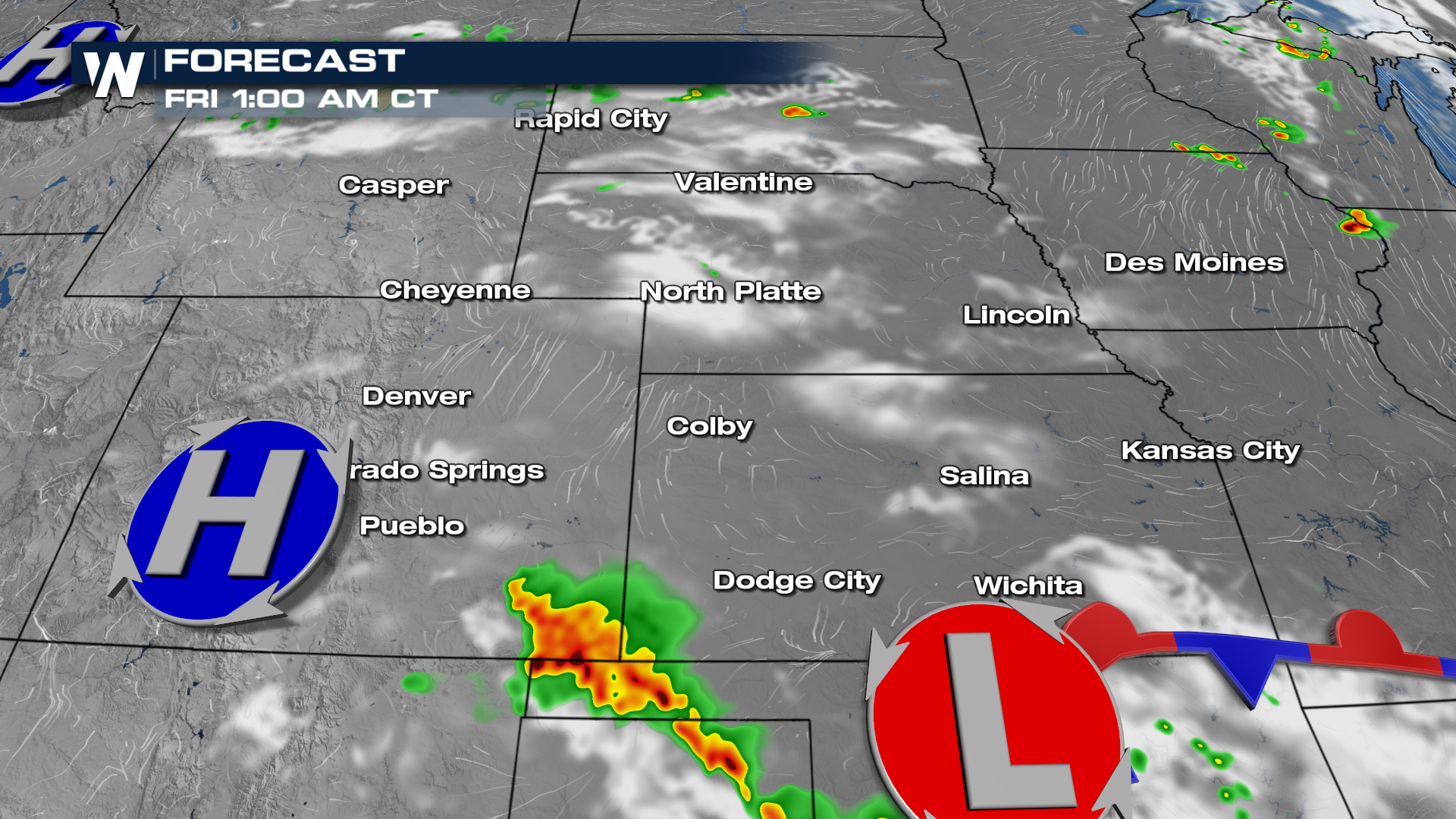 Storms may continue to fire up by daybreak in the high Plains as well.
For more on this weather headline including what temperatures will drop to, join WeatherNation for your Central Regional Forecast always :30 past the hour.


