Severe Chances a Little More Likely Today
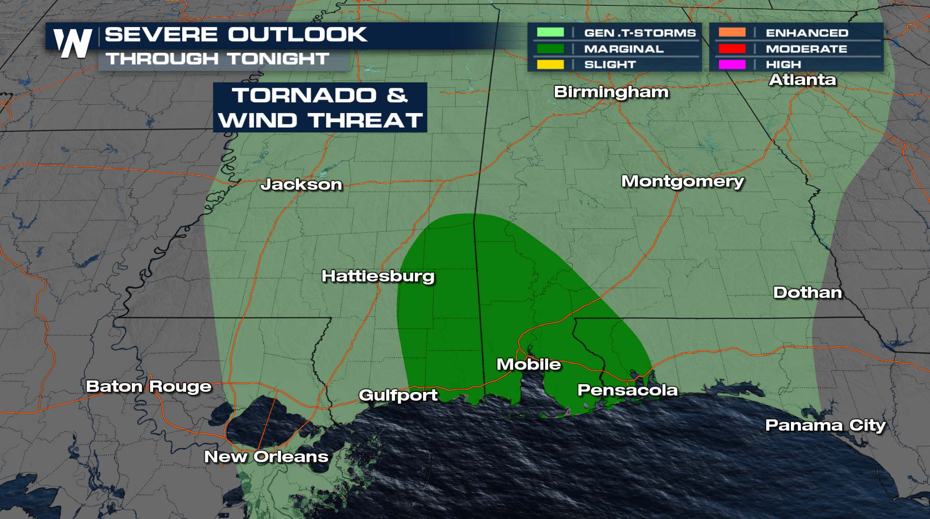
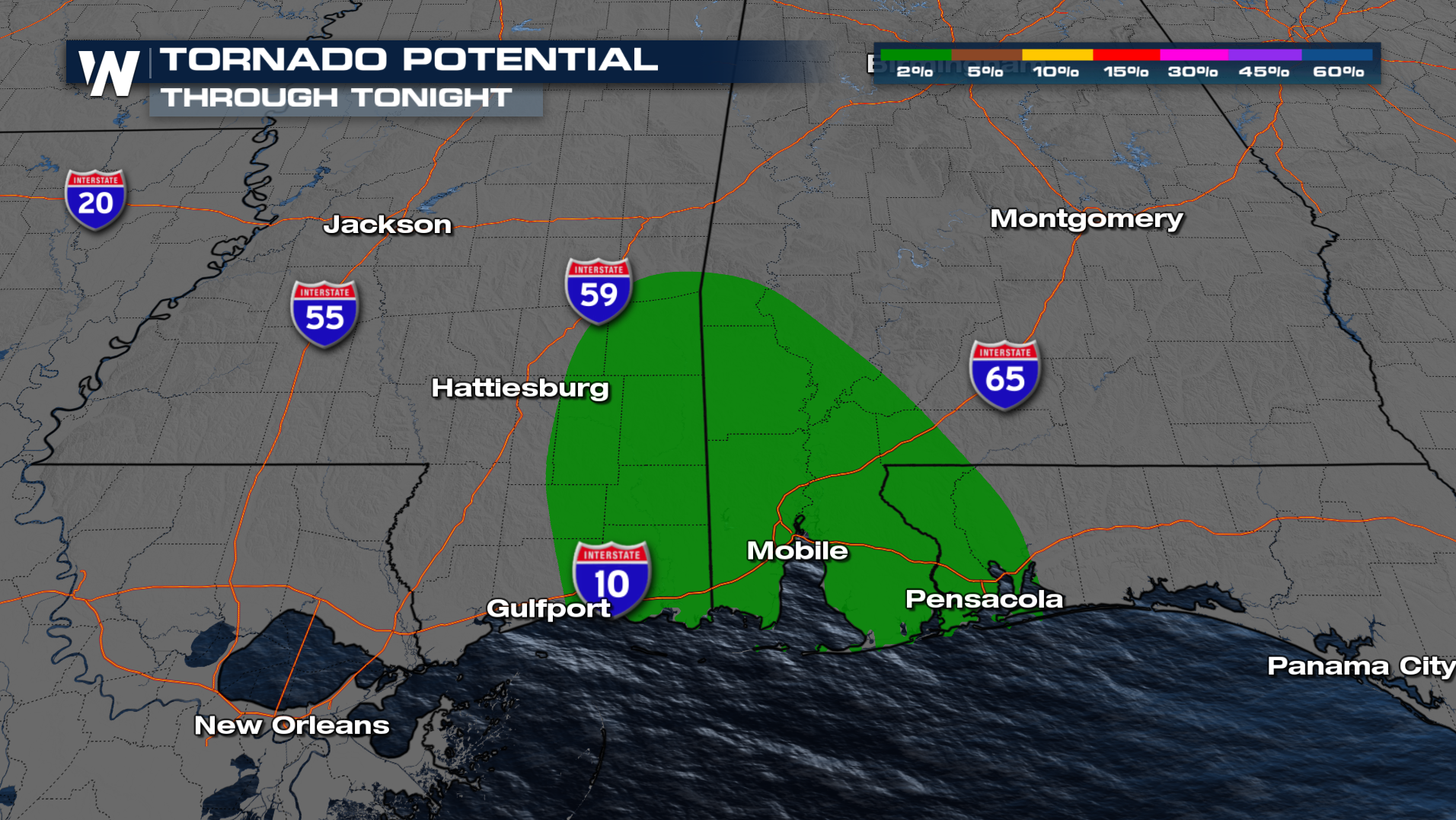
There is a marginal risk for severe overnight including the cities of Mobile and Pensacola. As a cold front moves through a few storms can be strong to severe with an isolated tornado threat.
 Damaging winds and a tornado or two are the biggest concerns with this round of severe weather overnight, make sure to have multiple ways to get alerts.While the tornado threat with these storms is low, it's not zero - have a way to receive warnings throughout the night! Or download our app to take any potential severe weather alerts with you.
 The line of storms will continue to push east through the overnight hours. Behind the front will be dry and clear conditions.

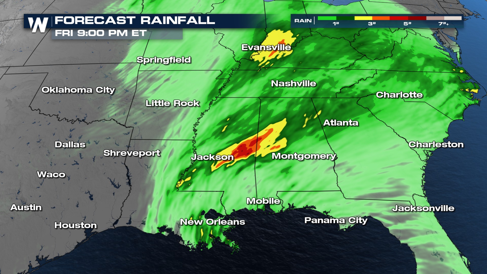
This is the same area that picked up 7-8 inches of rain last weekend. Since soils are so saturated, the flooding risk might be the easiest one to come by with this system. Some areas could see another 2-3 inches of rain, continuing the flooding threat down south.