Mid-South Eyeing Severe Threat Friday

This is an interesting setup that's been piquing our interest most of the week. A piñata of cold air is lurking in southern Canada, and a clipper will unlock a surge of cold air, dropping temperatures into the 40s-50s in FLORIDA early next week. That radical clash of two different air masses should be enough to spark storms. But will they become severe?
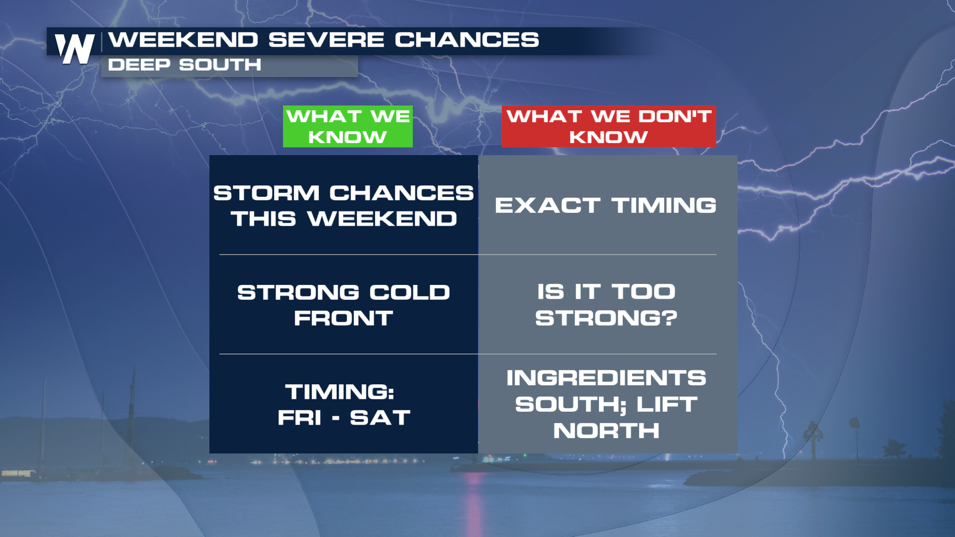
SETUP
A parade of weaker frontal boundaries will be overtaken by the strongest one of the week. Temperatures will likely drop some 20 in many locations, giving folks east of the Rockies the coldest shot of air of the season. It's a fine balance between having too much of one ingredient and not enough of another. This is where the uncertainty in this forecast lives.

WHAT'S MISSING
As this powerful front drops south, it will slow down a bit. As it moves into temperatures in the 70s-80s, the forward speed will drop. The lift aspect of the front will not be quite as high as it will be further north. On the flip side, with better lift north, there is less energy to tap into, which helps power storms to the severe criteria.
 WHAT COULD CHANGE
There is still time to change the outcome. The fast-moving nature of these systems can lead to over- and underestimations of specific ingredients. A faster moving front would increase the severe risk farther south, while a better northward pull of unstable air will expand the threat north. Here's how the latest model has this playing out Friday and Saturday.


