EF-1 Tornado Confirmed in Minnesota, More Storms for the Midwest
Severe weather rolled across the Upper Midwest on Thursday, bringing with it a very late-season severe weather event (especially for late September). The tornado below was rated an EF-1 with winds of 105 mph.
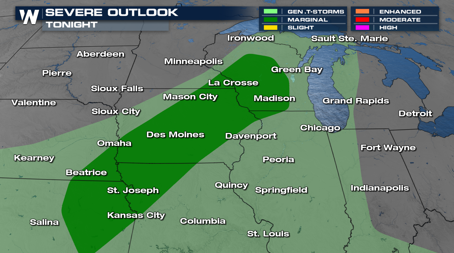
Another frontal system will cross the Midwest this weekend with heavy rain and severe weather potential. Saturday's risk includes areas from Wisconsin through Kansas, with wind and hail damage possible.
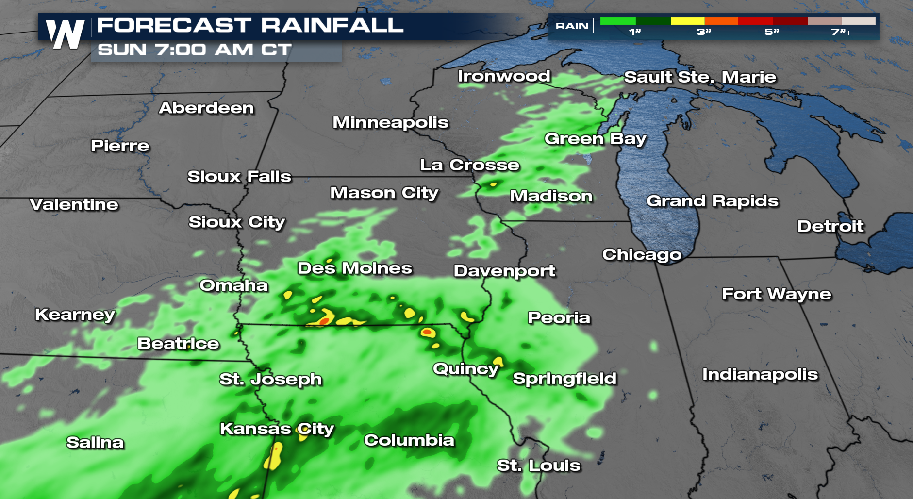
With severe storm potential dropping in the evening, some thunderstorms could still exhibit large hail and damaging winds. More thunderstorms are in the cards for Sunday but the bigger story will be flooding going forward!
Rainfall could be heavy at times, with some areas expecting 1-2 inches of rain. Multiple rounds of rain could bring totals up to 4-5" in portions of Kansas and Missouri, where the flood risk will be higher. Stay with WeatherNation for updates and live-streaming coverage of severe weather.