New Experimental Radar Could Lead to Earlier Severe Weather Warnings
[NOAA] NOAA researchers recently unveiled “the radar of the future” – a new $38 million prototype that could improve warnings, protect lives and property, and reduce the economic impact of severe and hazardous weather.
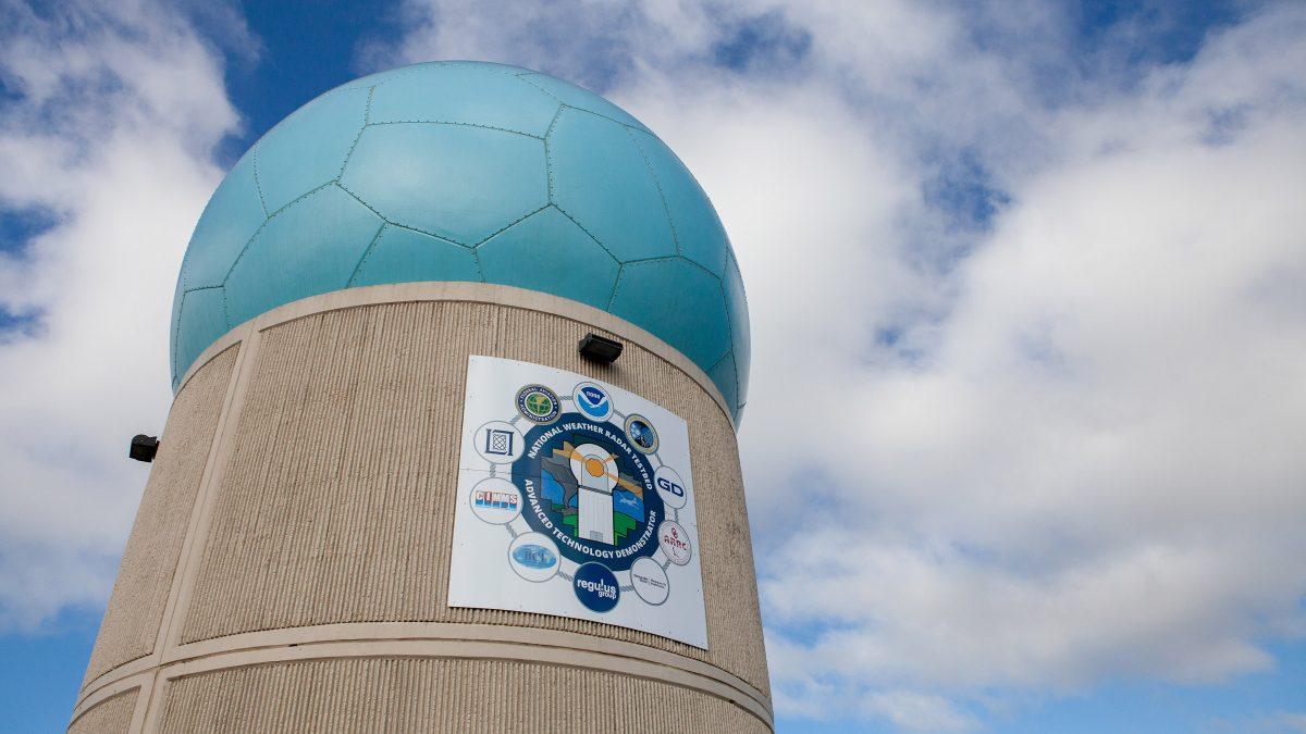
https://www.youtube.com/watch?v=Xso-P0UAE88 Weather radars consist of a transmitter that bounces radio waves off clouds and storm systems, and a receiver that detects precipitation and winds. Unlike today’s weather radars that use a dish antenna that tilts and rotates to collect data, the new experimental radar called the Advanced Technology Demonstrator (ATD) has a flat panel with a grid of thousands of small antennas that transmit radio waves and receive reflections back from the atmosphere. This phased array allows the radar to be steered electronically with no moving parts, collecting and updating information more rapidly.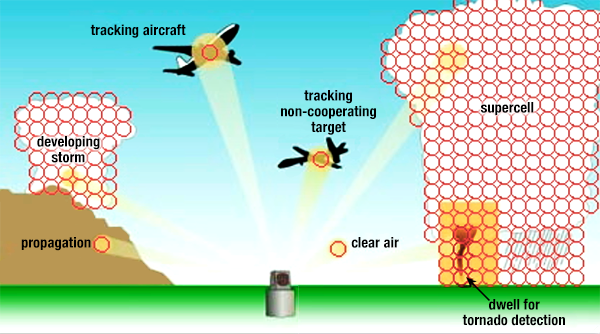 [Phased Array radar has a unique antenna that collects the same information as a conventional radar in about one-sixth the time. Users can direct radar beams to scan different targets as needed. Researchers believe phased array could extend warning lead times from 10 minutes to 18-22 minutes.]
The ATD also features dual polarization technology that helps forecasters know the type of precipitation that is occurring, such as rain, snow or ice. It’s the first radar combining both phased array and dual polarization technologies.
Researchers say the new radar should be ready to collect experimental weather data for the first time during severe weather season in spring 2019.
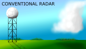 [Difference between conventional and polarmetric radar]
Funded by NOAA and the Federal Aviation Administration, the ATD is the newest in a long line of radar innovations developed and being tested at NOAA’s National Severe Storms Laboratory in Norman, Oklahoma.
Edited for WeatherNation by Meteorologist Mace Michaels


