Monsoon Season is Here As New Mexico's Flood Threat Increases

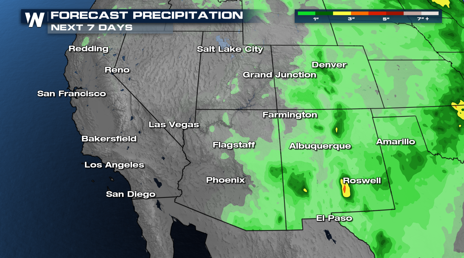
NEW MEXICO - A conveyor belt of moisture will bring heavy rain and storms to New Mexico over the next few days. A ridge of high pressure to the east and a trough to the west will help to funnel this moisture northbound. Thursday's heavy rain resulted with Ruidoso, NM under another Flash Flood Emergency as some of the creeks near the former burn scars became overwhelmed with a slow moving thunderstorm!
In the short term, the flood risk is very isolated across New Mexico heading into the weekend!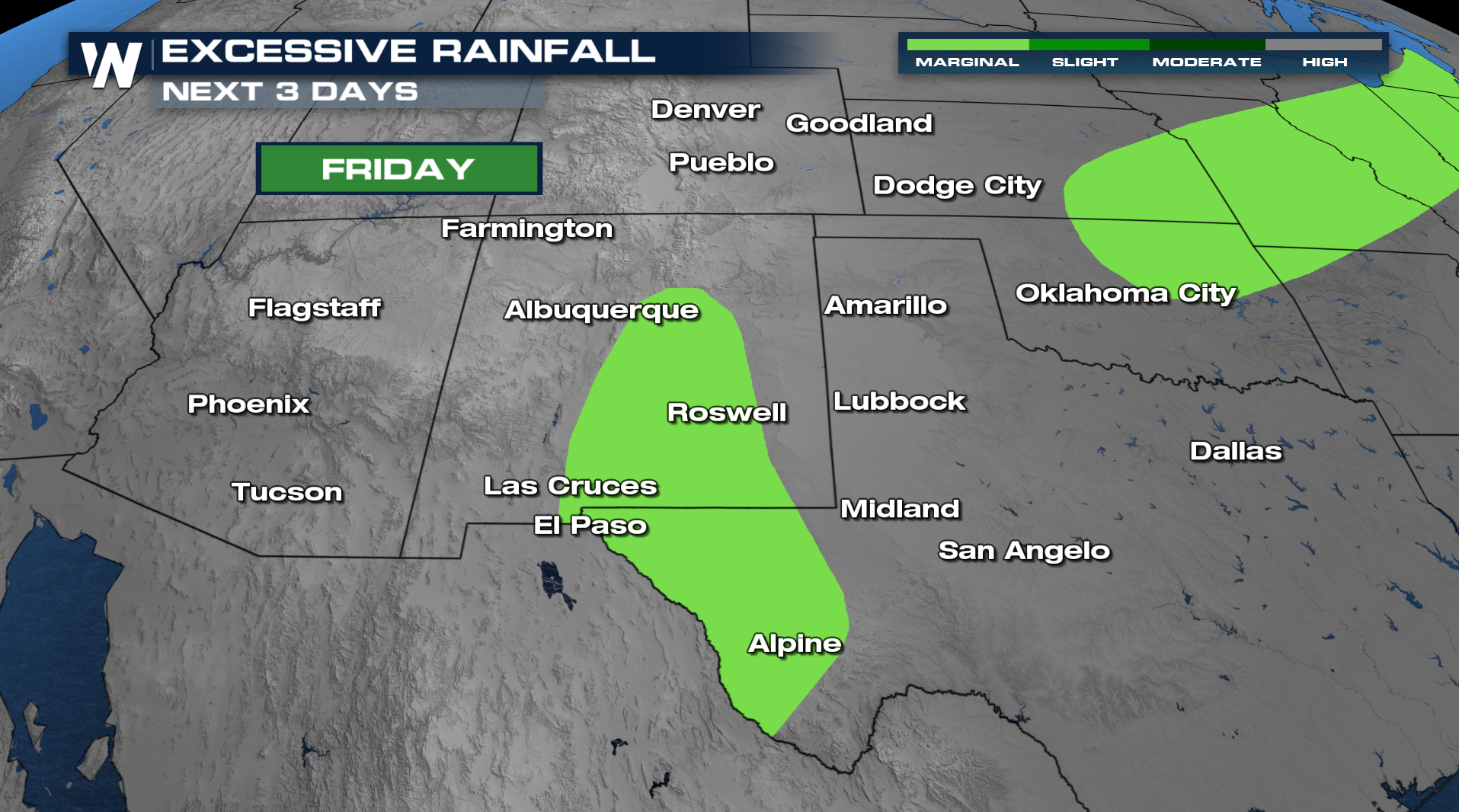
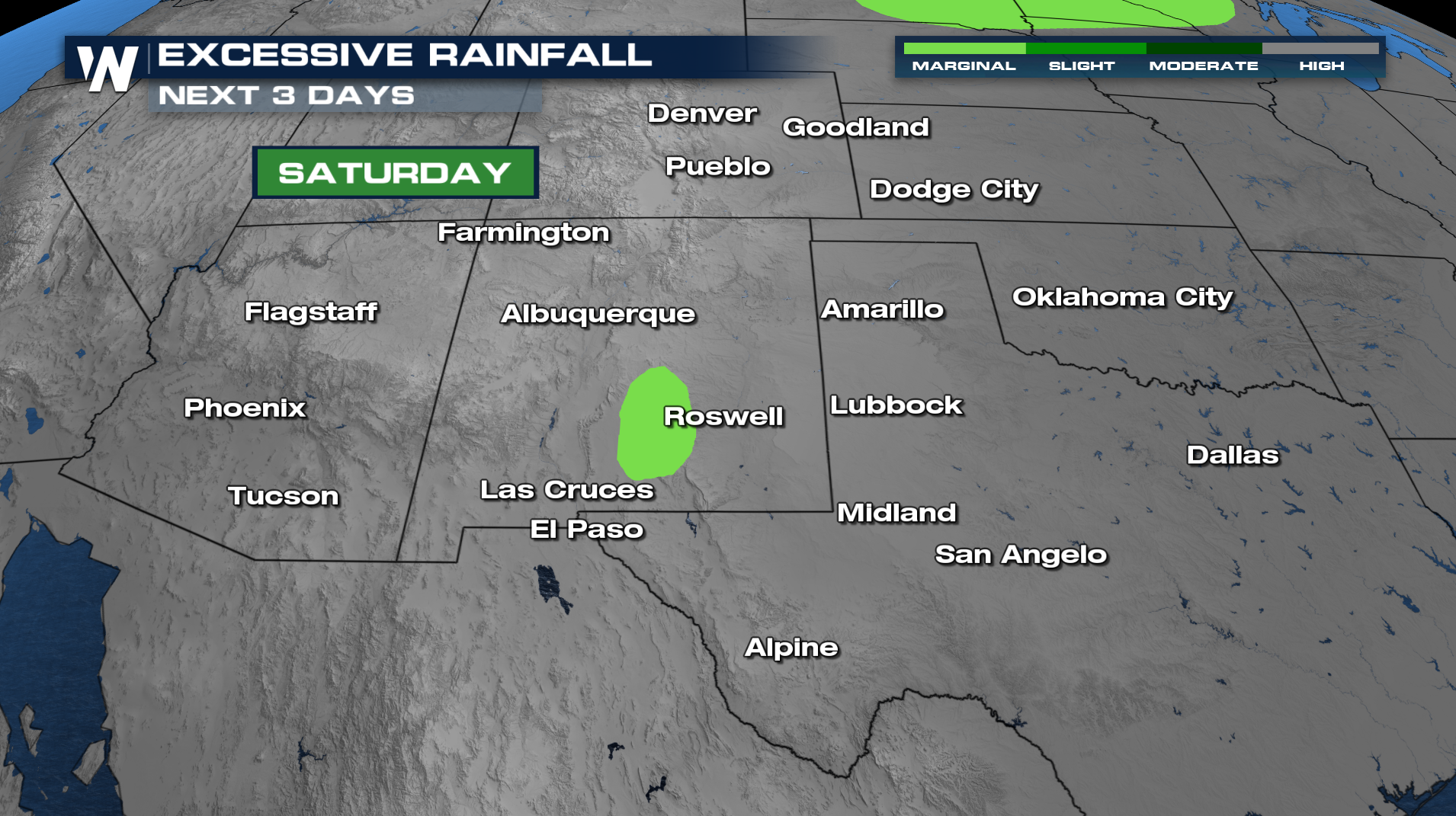
The best chance of thunderstorms will occur during the afternoon and evening hours! As normal, the sun will set and the storms will follow and dissipate.
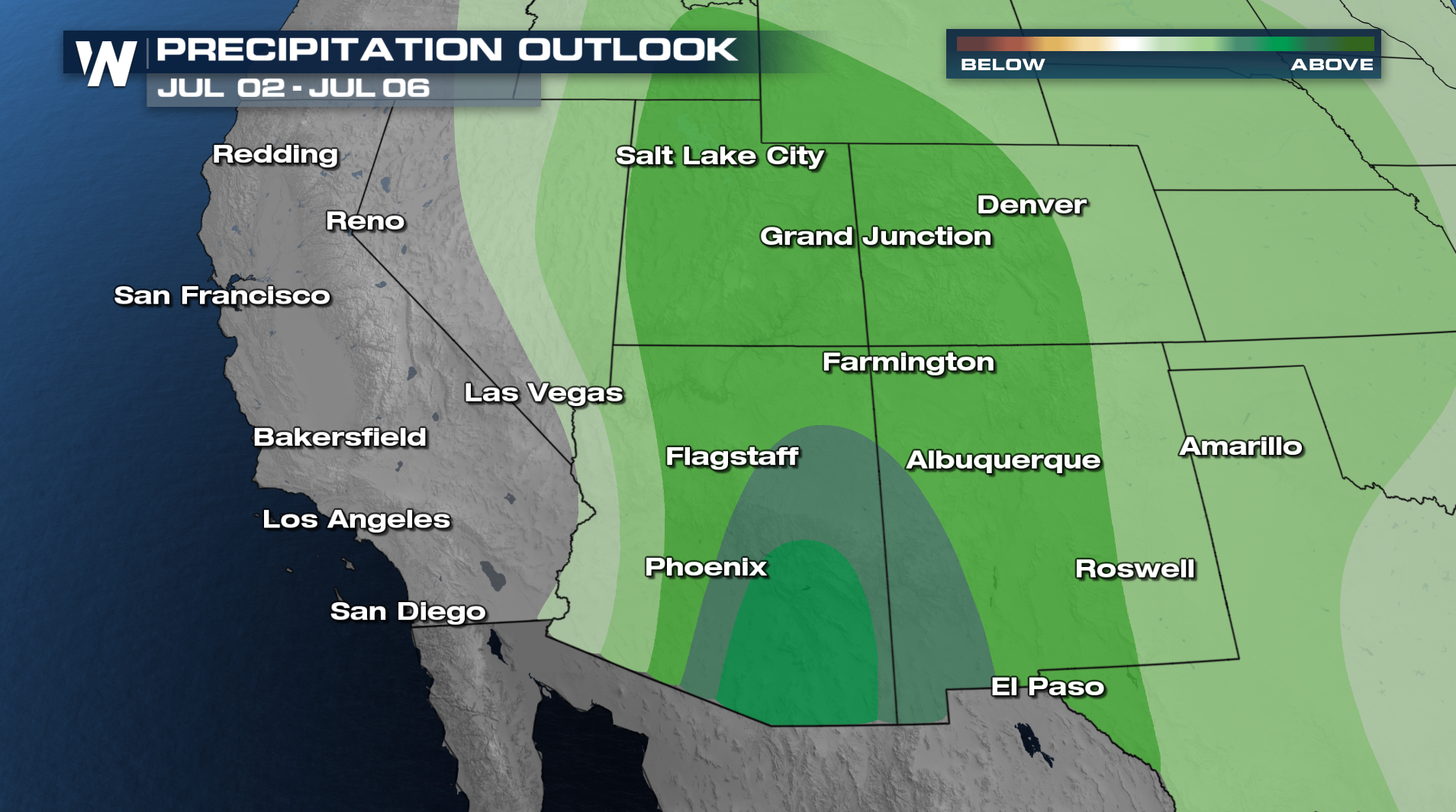
Now as we look into the month of July, confidence is growing for more monsoonal moisture across the Southwest. This a great news for the Southwest as drought in some spots are not great!