Wintry Mix with Rain for New England

As energy and moisture moved in from the Ohio Valley, rain has transitioned into a wintry mix and snow, with a few inches of mountain snow expected through midday Friday. Totals through sunrise have been around 1-3" for the Catskills, Berkshires, and Green Mountains.
It will be too warm throughout much of the Northeast to get anything wintry, so it will be a chilly rain for most. Light snow is expected to continue for the mountains of northern New England through the late morning before the primary band of showers moves north. Lingering showers will hug southeastern New England through this evening, before cooler and drier air moves in. Isolated rain and snow showers are possible behind the front into early Saturday, but impacts to travel are not expected.
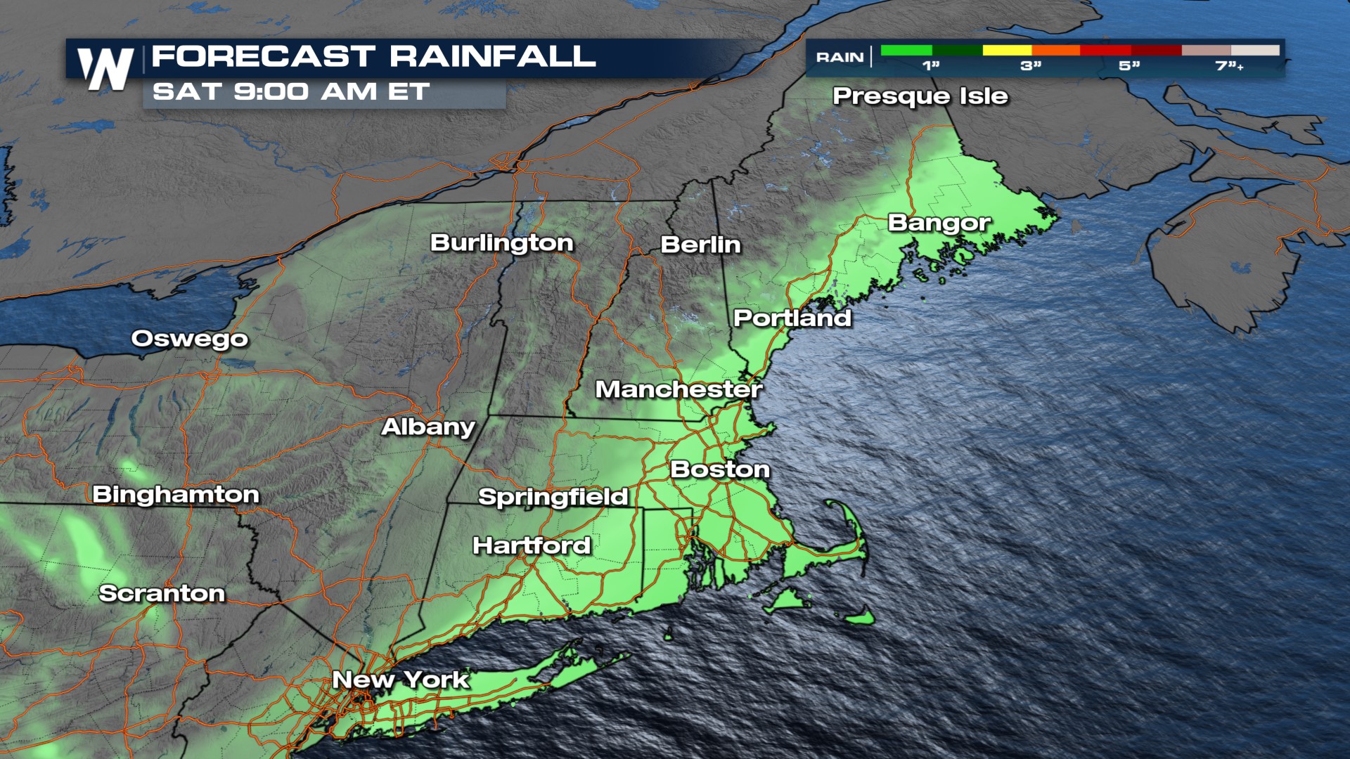 Rain will be widespread but not particularly heavy, with totals less than an inch. Snow will accumulate mainly in the higher terrain areas of New England like the Green and White Mountains and Maine, with up to 2-4" of snow (top of page). Most will get much less than that!
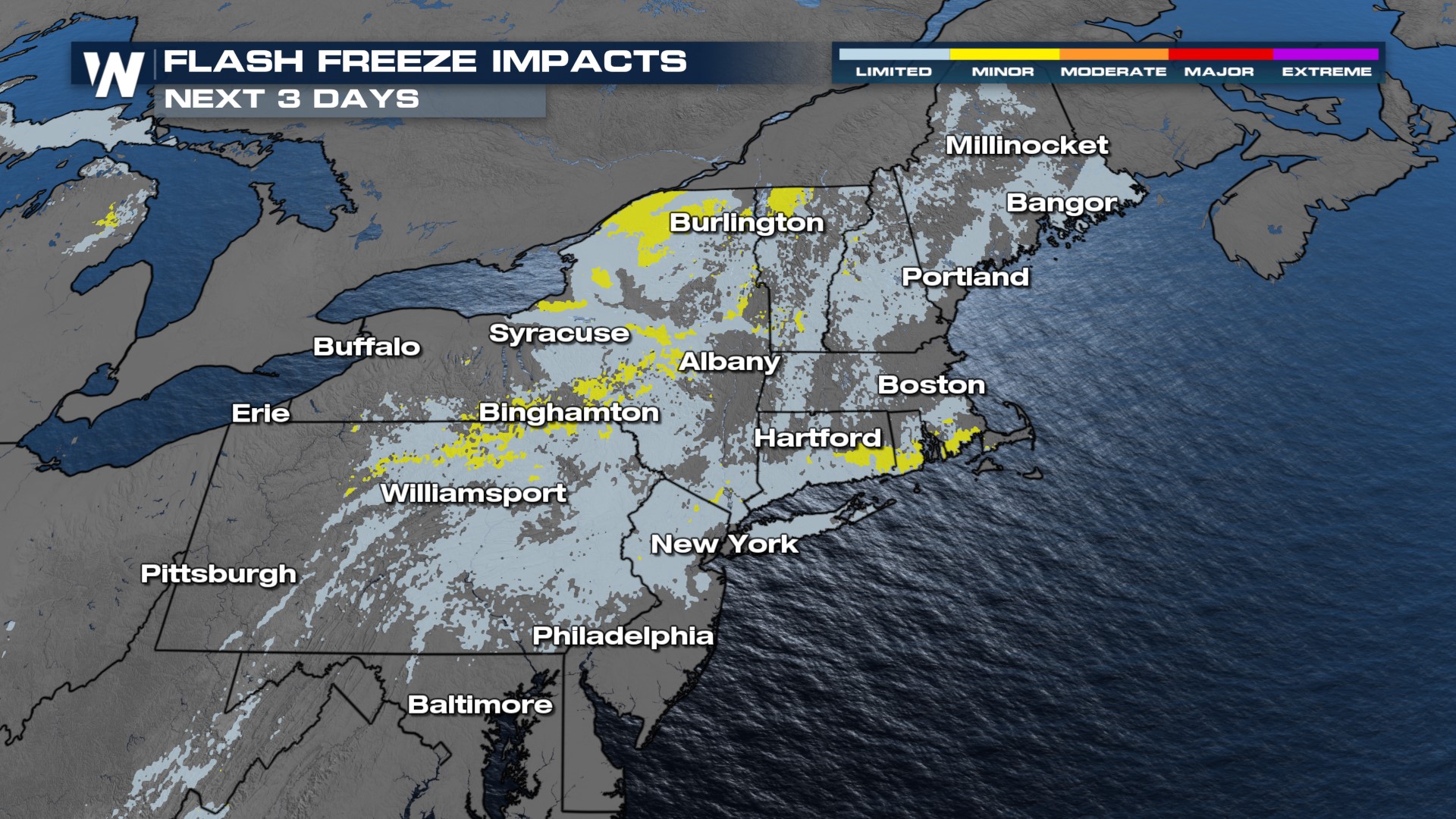
Expect temperatures to take quite the plummet after this system pushes through. Saturday will be very cold, with high temperatures well below average. Wind chills will plummet to the single digits and teens Saturday morning, and won't be much warmer Sunday morning. This quick drop in temperatures could lead to a flash freeze for areas in yellow (below). Any lingering puddles or wet spots could turn icy!