Wind & Snow Hit the High Plains Tonight
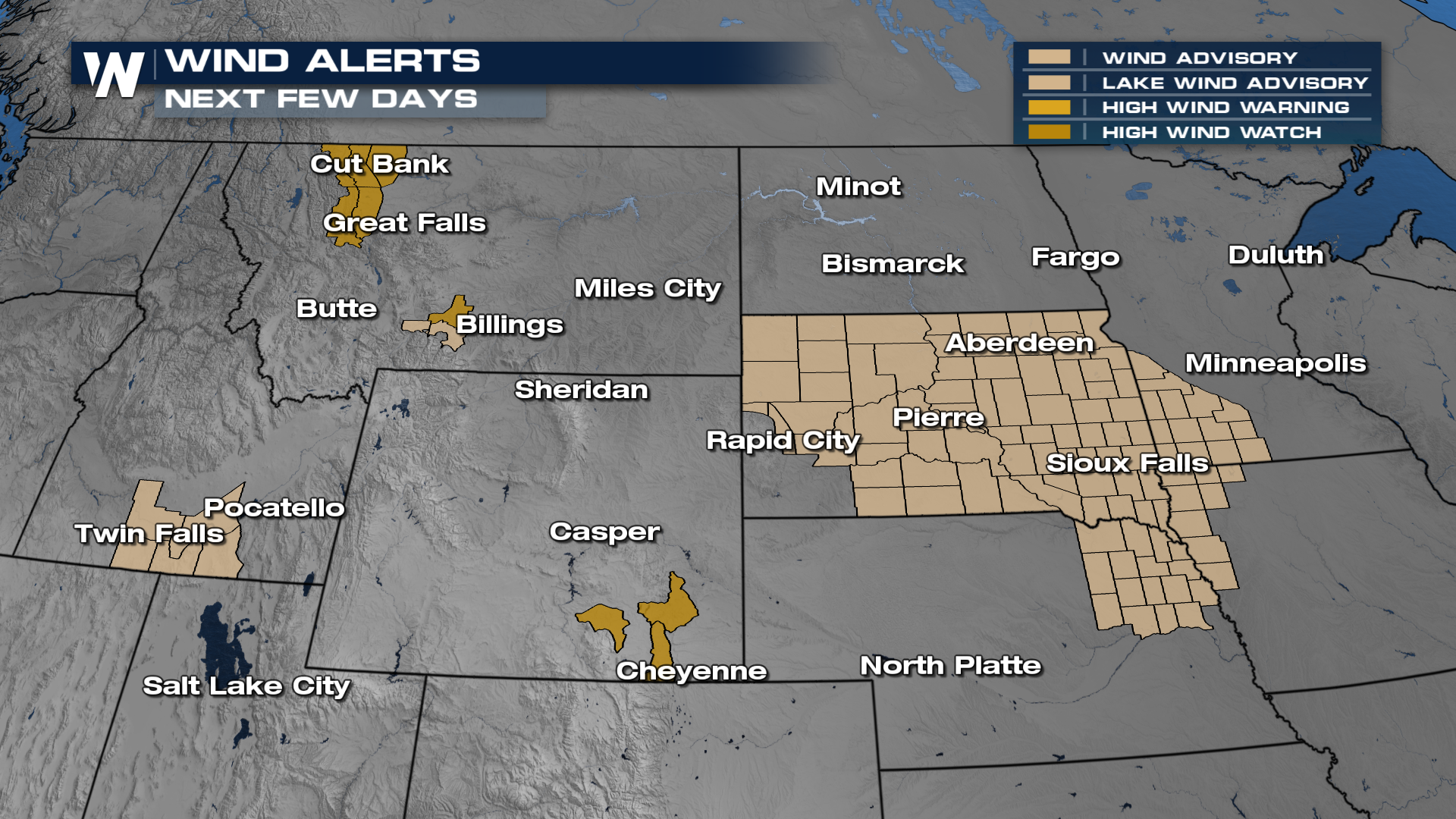
The next winter storm is underway in the Northern Plains into Saturday as upper-level energy moves in from the West Coast. The biggest impact from this storm system looks to be strong winds which could gust upwards of 50 mph through the Dakotas creating blizzard-like conditions. Wind alerts are in effect to account for the threat. On the warmer side of this storm system, there is the opportunity for storms in the Deep South on Saturday.
 Winter Weather Alerts are in effect for much of the Dakotas, parts of Montana and Wyoming as well. The heaviest snow will be for the Dakotas where a widespread 1-3" will be possible. Again, the wind will create pockets of blowing and drifting snow leading to hazardous travel along I-90 and I-94.

A frontal boundary has moved across the Plains and snow is filling in through the evening tonight and dropping temperatures from the record setting highs we saw earlier this week. Snow showers continue through the night and into the Upper Midwest on Saturday.