Pineapple Express Delivers Another Round of Rain

Heavy rainfall from moisture that inundated the Hawaiian Islands late last week is on the move. It's being funneled around an area of high pressure, taking aim at the Pacific Northwest. Thankfully, it won't be nearly as heavy or intense as what Hawaii faced.
Related: Kona Low Recap
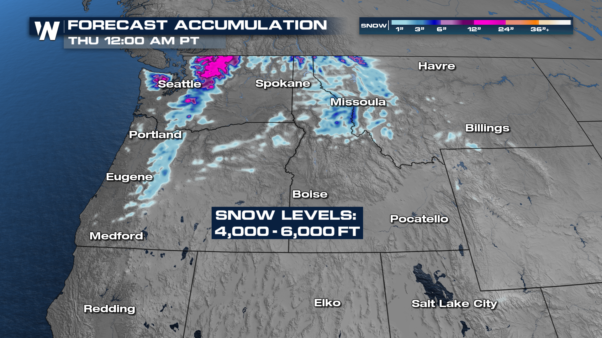
This round looks like it will be a little different than the previous round, which brought only rain to the area. Snow levels with this system will drop a bit, bringing a shot at some wintry impacts to the mountain passes.
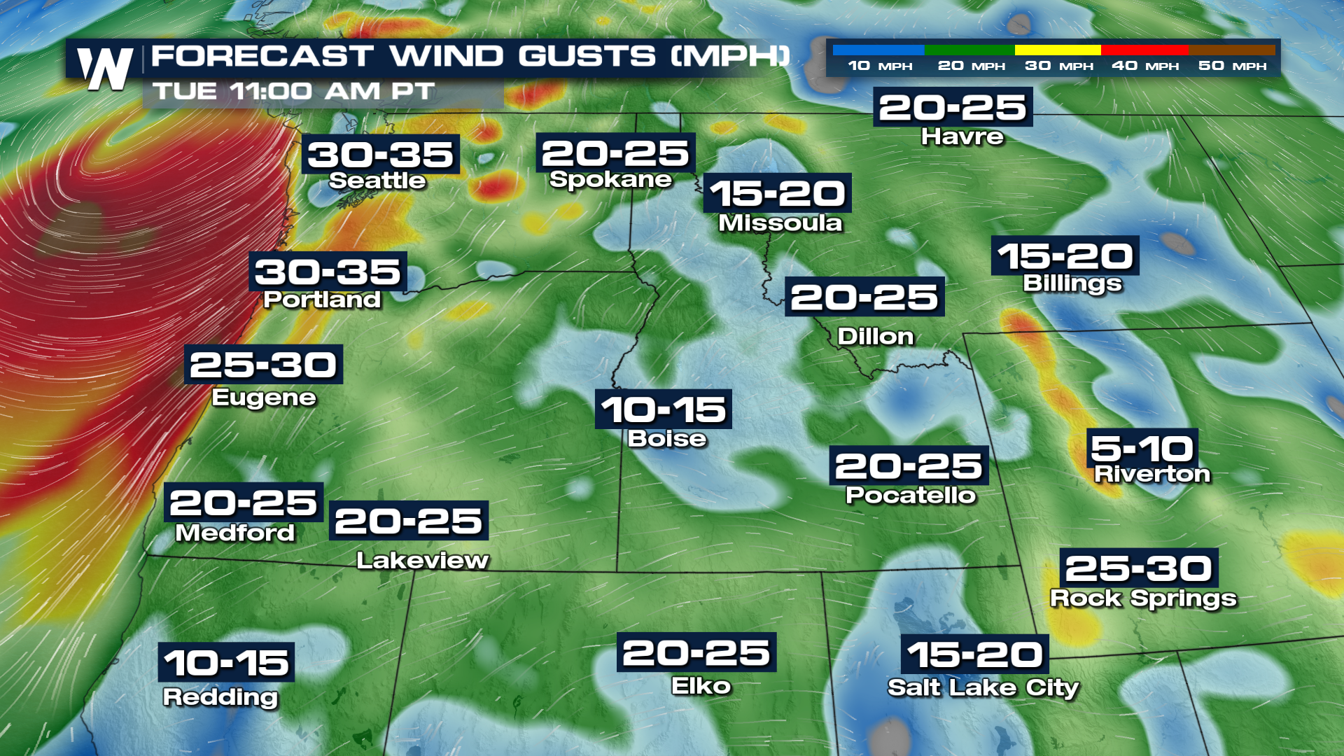
An active Jetstream will bring more energy into the region on Tuesday. That's when you can expect the most widespread rain, with only scattered coverage from Wednesday onward.
There will be winds with this latest batch, with some of the mountain peaks expecting the worst of them. Sporadic power outages will be possible.
 Make sure you're staying tuned to WeatherNation for your northwest forecast at :50 past the hour!


