Record Lows Across Midwest on Sunday AM
Top Stories
29 Apr 2018 2:39 PM
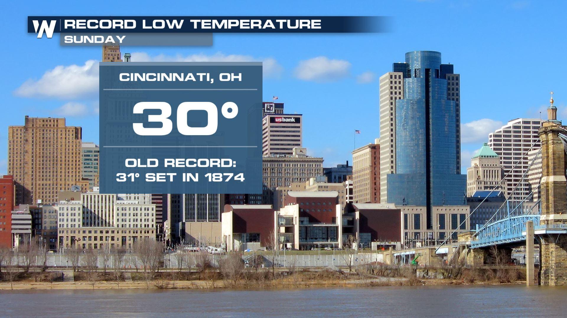
The continued cold weather across the Midwest led to more record lows on Sunday morning, and the potential for more frost and freeze concerns into Monday as well.
Record lows were set in Indianapolis, Indiana and Cincinnati, Ohio on Sunday morning, while records were also tied in Dayton, Ohio; Chicago, Illinois and Gaylord, Michigan, just to name a few locations that either tied or set new record cold temperatures on Sunday.
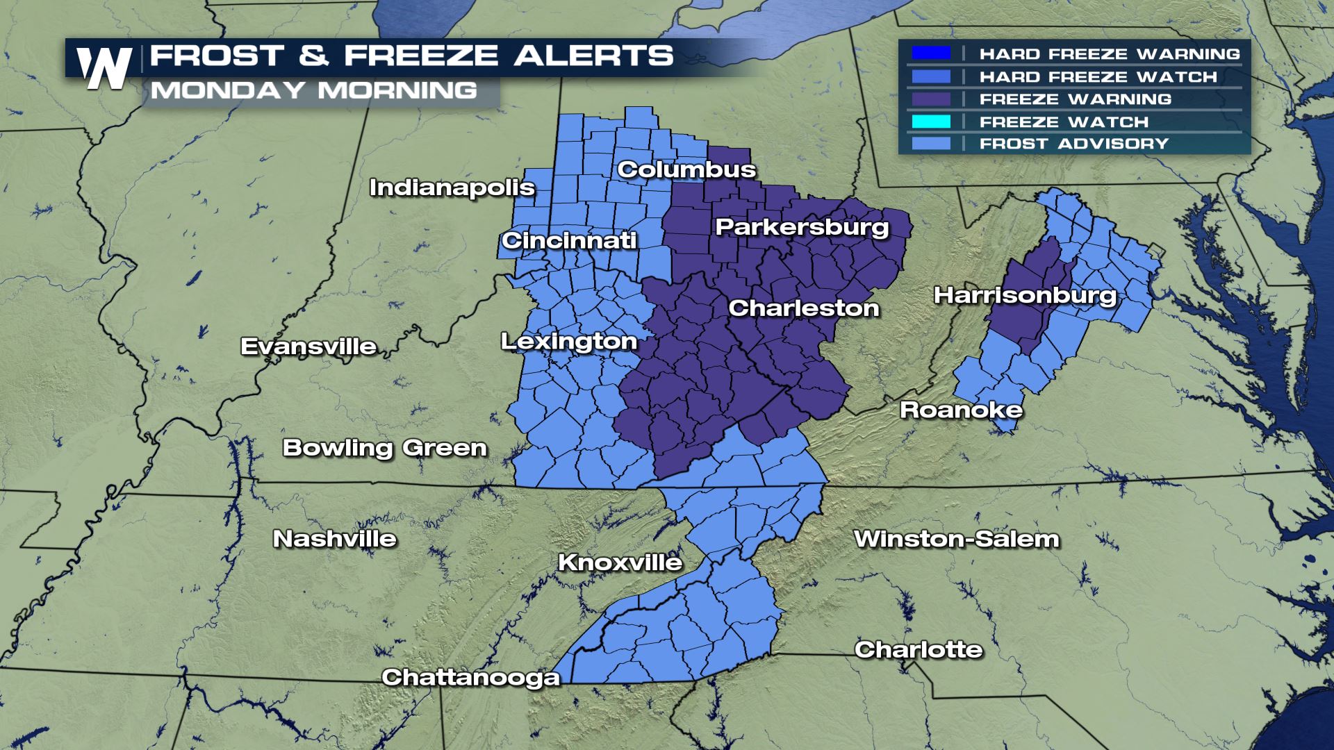
 Another deep trough of low pressure is moving through the Northeast, leaving behind an unseasonably chilly air mass in its wake.
With the cold moving east into Monday, more frost and freeze concerns could be in place during the morning hours. Tender vegetation should be covered up in the locations outlined in blue and purple below, including Washington, D.C.'s southern and western suburbs.
Another deep trough of low pressure is moving through the Northeast, leaving behind an unseasonably chilly air mass in its wake.
With the cold moving east into Monday, more frost and freeze concerns could be in place during the morning hours. Tender vegetation should be covered up in the locations outlined in blue and purple below, including Washington, D.C.'s southern and western suburbs.
 But as cold as it feels now, a sharp rebound in temperatures will dominate the weather pattern towards the end of the week. The first real taste of summer-like heat will move into East Coast later this week, leading to widespread 80°+ temperatures for the I-95 corridor, including places like New York City.
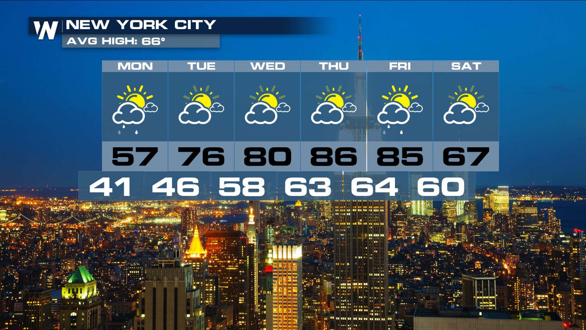 After this weekend and a cold start to the work week, this will probably be a welcome change to the persistently chilly weather pattern that's been in place through the second half of winter and the start of spring.
Stay with WeatherNation for the latest on the late-season chill.
For WeatherNation: Meteorologist Chris Bianchi
After this weekend and a cold start to the work week, this will probably be a welcome change to the persistently chilly weather pattern that's been in place through the second half of winter and the start of spring.
Stay with WeatherNation for the latest on the late-season chill.
For WeatherNation: Meteorologist Chris Bianchi
Another deep trough of low pressure is moving through the Northeast, leaving behind an unseasonably chilly air mass in its wake.
With the cold moving east into Monday, more frost and freeze concerns could be in place during the morning hours. Tender vegetation should be covered up in the locations outlined in blue and purple below, including Washington, D.C.'s southern and western suburbs.
But as cold as it feels now, a sharp rebound in temperatures will dominate the weather pattern towards the end of the week. The first real taste of summer-like heat will move into East Coast later this week, leading to widespread 80°+ temperatures for the I-95 corridor, including places like New York City.
After this weekend and a cold start to the work week, this will probably be a welcome change to the persistently chilly weather pattern that's been in place through the second half of winter and the start of spring.
Stay with WeatherNation for the latest on the late-season chill.
For WeatherNation: Meteorologist Chris BianchiAll Weather News
More
More Storms for the East Through Monday
A low-pressure system that moved through the
2 Aug 2026 10:40 PM

Wildfire Outbreak in the Pacific Northwest
SPOKANE, WA - On Saturday, August 1st, the Ol
2 Aug 2026 10:35 PM


After Reaching Category 5, Genevieve Weakens in the Pacific
PacificGenevieve formed on last Friday south
2 Aug 2026 6:25 PM

Flooding, Severe Storms Target the Midwest Again
After an active week of storms across the nor
1 Aug 2026 1:40 AM

Flooding Risk Increases as Heavy Rain Targets the Tri-State Area
Tuesday, heavy rainfall moved across the Nort
30 Jul 2026 12:25 AM

Severe Weather: Energy From the Midwest Now in the Southeast
UPPER MIDWEST - Through Monday, dangerous tor
29 Jul 2026 10:30 PM