Researchers Developing Experimental Winter Forecasting Tools
Special Stories
7 Apr 2021 2:00 AM
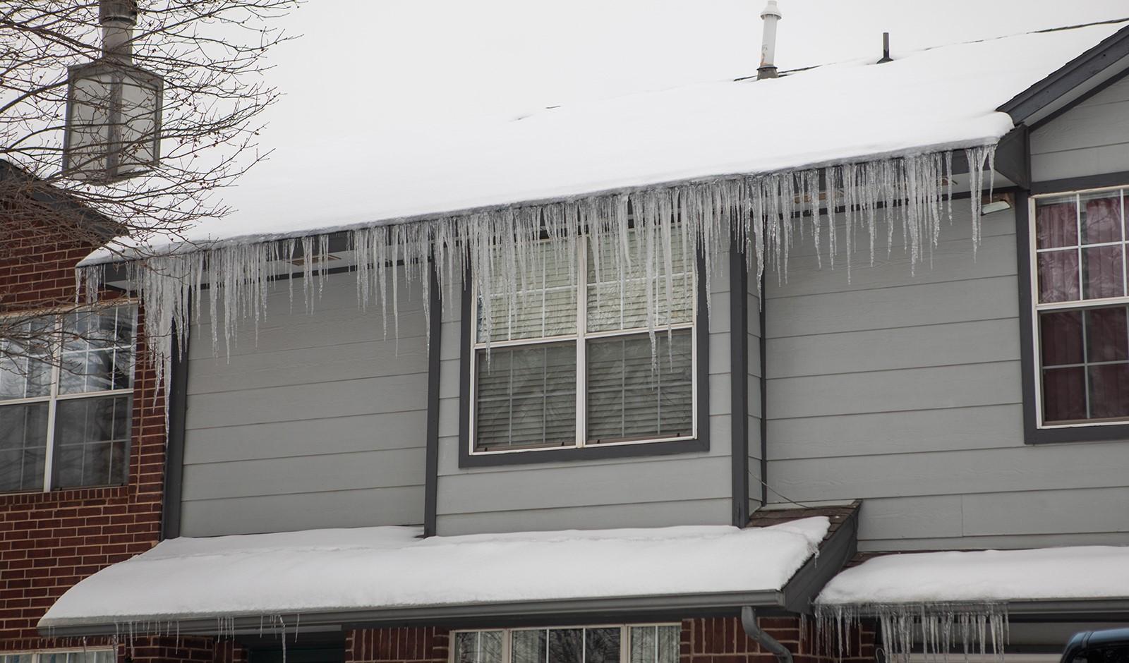
[Many states experienced the coldest weather in decades in February. Cold temperatures were accompanied by ice, snow and other winter precipitation. (Photo by James Murnan/NOAA)]
[From NOAA NSSL written by Emily Jeffries] From In February, millions of people across the United States were impacted by several inches to feet of snow and the coldest temperatures in decades. Thousands lost power and water, and travel was treacherous as multi-vehicle pile-ups forced interstate shutdowns.
To help lessen these impacts, researchers at the Cooperative Institute for Mesoscale Meteorological Studies at the University of Oklahoma and the NOAA National Severe Storms Laboratory in Norman, Oklahoma, are working to improve current winter road tools. They are focused on predicting and monitoring a variety of winter hazards and the potential impacts of such weather.
“Hazards may include accumulating snow or ice on roadways, slushy roadways, and others,” said Shawn Handler, a researcher at OU CIMMS. His work supports NOAA NSSL. “It’s possible a winter storm may pose a greater threat to one infrastructure more than others, like maybe travel or power outages.”
Handler, with a team of other researchers, are developing two experimental products: the Experimental Road Hazards Product and Probability of Subfreezing Road Temperatures (ProbSR) product. These are expected to be integrated into the National Weather Services’ Winter Storm Severity Index (WSSI).
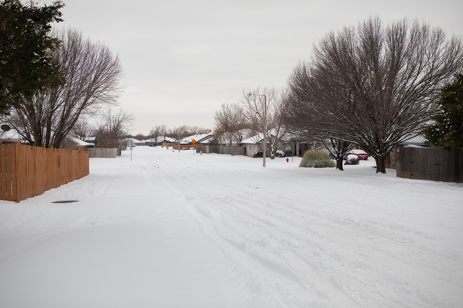 [A snow-covered road in Oklahoma. Winter weather ravaged parts of the United States in February, leaving many without power and water, and travel was treacherous as multiple car pile-ups resulted in Interstate closures. (Photo by James Murnan/ NOAA)]
Integrating the tools
Aimed to improve winter-weather advisories, the WSSI ingests several different sources of information but none of those sources provide information on the roads. Researchers want to pair WSSI with the ProbSR product, allowing forecasters to have greater confidence about the potential for winter-weather to result in treacherous driving conditions.
“It’s possible a winter storm may pose a greater threat to a certain infrastructure compared to others,” Handler said. “For example, Oklahoma City experienced an ice storm in October and impacts to the power grid outweighed the impacts to road travel, as hundreds of thousands of people lost power for an extended period of time.”
Integrating ProbSR and the road-hazard tool into the WSSI will allow ProbSR to be tested and evaluated as a forecasting tool next winter in a testbed environment.
Hazardous road threats are determined by pairing the road temperature tools of ProbSR with another model providing precipitation classification at the surface, like snow and rain, to create the Experimental Road Hazards Product.
“We are focused on what hazards or threats may be present,” said Handler. “For example, it could be snowing, but if ProbSR has low probabilities, the expected threats to travel may not be as high – such as a wet roadway as the snow is not expected to accumulate. Whereas, if it has been cold enough for a longer stretch of time – a higher ProbSR – and snowing, then accumulating snow would be the resulting hazard.”
[A snow-covered road in Oklahoma. Winter weather ravaged parts of the United States in February, leaving many without power and water, and travel was treacherous as multiple car pile-ups resulted in Interstate closures. (Photo by James Murnan/ NOAA)]
Integrating the tools
Aimed to improve winter-weather advisories, the WSSI ingests several different sources of information but none of those sources provide information on the roads. Researchers want to pair WSSI with the ProbSR product, allowing forecasters to have greater confidence about the potential for winter-weather to result in treacherous driving conditions.
“It’s possible a winter storm may pose a greater threat to a certain infrastructure compared to others,” Handler said. “For example, Oklahoma City experienced an ice storm in October and impacts to the power grid outweighed the impacts to road travel, as hundreds of thousands of people lost power for an extended period of time.”
Integrating ProbSR and the road-hazard tool into the WSSI will allow ProbSR to be tested and evaluated as a forecasting tool next winter in a testbed environment.
Hazardous road threats are determined by pairing the road temperature tools of ProbSR with another model providing precipitation classification at the surface, like snow and rain, to create the Experimental Road Hazards Product.
“We are focused on what hazards or threats may be present,” said Handler. “For example, it could be snowing, but if ProbSR has low probabilities, the expected threats to travel may not be as high – such as a wet roadway as the snow is not expected to accumulate. Whereas, if it has been cold enough for a longer stretch of time – a higher ProbSR – and snowing, then accumulating snow would be the resulting hazard.”
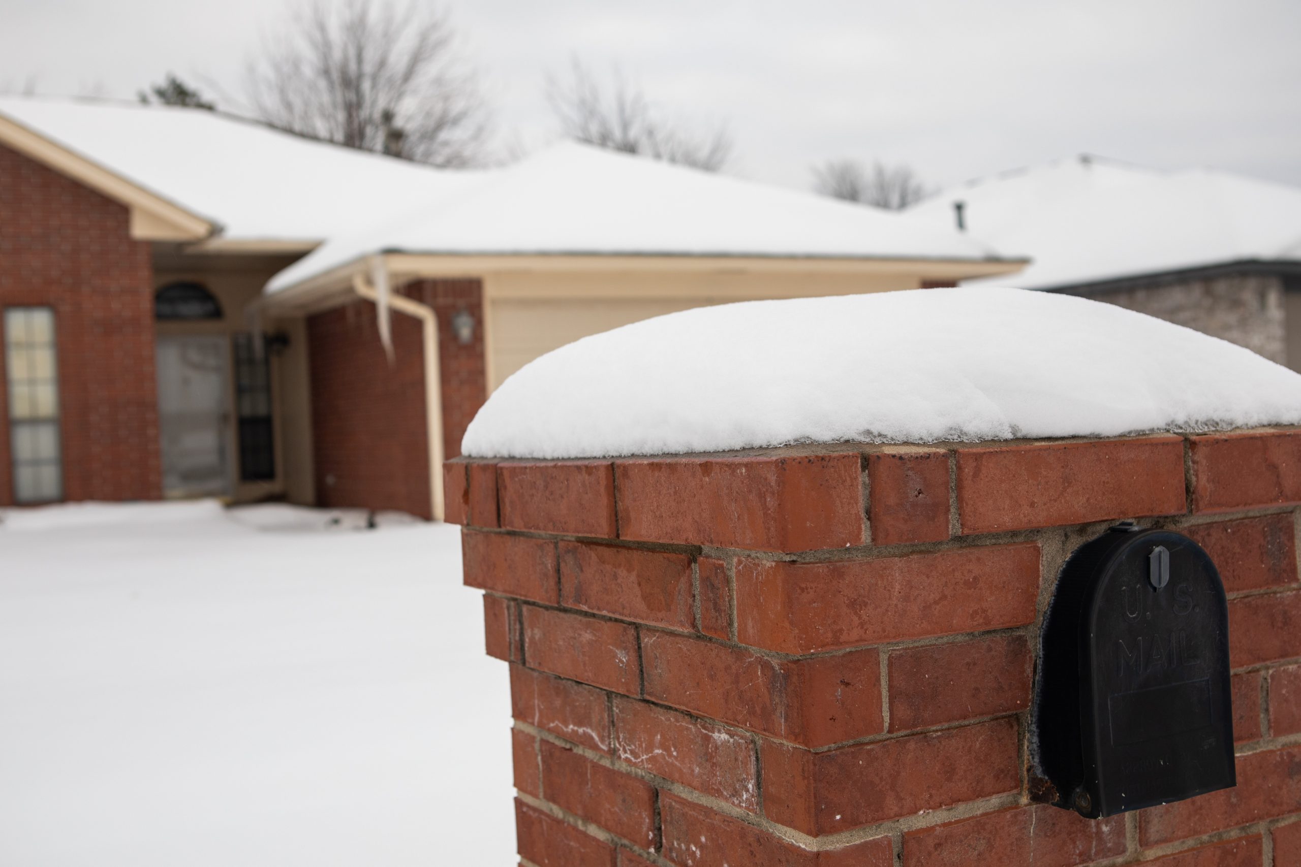 [A snow-covered home and mailbox in Oklahoma. Winter weather ravaged parts of the United States in February, leaving many without power and water. (Photo by James Murnan/ NOAA)]
Continuing research
Handler said tests with the products are successful, but the team is retraining ProbSR with more recent data from the High-Resolution Rapid Refresh model (HRRR), a high-resolution weather forecasting model used by the NWS. The HRRR updates forecasts hourly over the entire lower 48 United States at a resolution of less than two miles.
The Experimental Road Hazards Product is in the early stages of development. The team continues to investigate ways to improve it, including gathering more inputs, such as precipitation rate and wind speed.
“Precipitation rate will provide information on how fast precip – like snow, rain, ice – is falling, whereas wind speed could be included as a way to assess visibility threats,” he said. “We also want to include more threats utilizing these new inputs, such as reduced visibility from blowing snow.”
The researchers’ next steps regarding the Road Hazards product are to add some of the features described above, and to properly verify the classifications made from the algorithm using traffic camera observations.
Products will be tested by researchers and forecasters in the winter of 2022 in a joint testbed with the NOAA Weather Prediction Center.
Edited for WeatherNation by Mace Michaels
[A snow-covered home and mailbox in Oklahoma. Winter weather ravaged parts of the United States in February, leaving many without power and water. (Photo by James Murnan/ NOAA)]
Continuing research
Handler said tests with the products are successful, but the team is retraining ProbSR with more recent data from the High-Resolution Rapid Refresh model (HRRR), a high-resolution weather forecasting model used by the NWS. The HRRR updates forecasts hourly over the entire lower 48 United States at a resolution of less than two miles.
The Experimental Road Hazards Product is in the early stages of development. The team continues to investigate ways to improve it, including gathering more inputs, such as precipitation rate and wind speed.
“Precipitation rate will provide information on how fast precip – like snow, rain, ice – is falling, whereas wind speed could be included as a way to assess visibility threats,” he said. “We also want to include more threats utilizing these new inputs, such as reduced visibility from blowing snow.”
The researchers’ next steps regarding the Road Hazards product are to add some of the features described above, and to properly verify the classifications made from the algorithm using traffic camera observations.
Products will be tested by researchers and forecasters in the winter of 2022 in a joint testbed with the NOAA Weather Prediction Center.
Edited for WeatherNation by Mace Michaels
- The Experimental Road Hazards Product will provide information on specific hazardous road threats, like ice.
- The experimental Probability of Subfreezing Road Temperatures (ProbSR) product uses current and immediately available information to predict if road temperatures are subfreezing.
- The Winter Storm Severity Index (WSSI) is an operational product designed to provide impacts-based decision support to NWS forecasters in order to allow them to provide more target messaging to the general public and other government stakeholders. This product is developed and supported by NCEP/Weather Prediction Center.
[A snow-covered road in Oklahoma. Winter weather ravaged parts of the United States in February, leaving many without power and water, and travel was treacherous as multiple car pile-ups resulted in Interstate closures. (Photo by James Murnan/ NOAA)]
Integrating the tools
Aimed to improve winter-weather advisories, the WSSI ingests several different sources of information but none of those sources provide information on the roads. Researchers want to pair WSSI with the ProbSR product, allowing forecasters to have greater confidence about the potential for winter-weather to result in treacherous driving conditions.
“It’s possible a winter storm may pose a greater threat to a certain infrastructure compared to others,” Handler said. “For example, Oklahoma City experienced an ice storm in October and impacts to the power grid outweighed the impacts to road travel, as hundreds of thousands of people lost power for an extended period of time.”
Integrating ProbSR and the road-hazard tool into the WSSI will allow ProbSR to be tested and evaluated as a forecasting tool next winter in a testbed environment.
Hazardous road threats are determined by pairing the road temperature tools of ProbSR with another model providing precipitation classification at the surface, like snow and rain, to create the Experimental Road Hazards Product.
“We are focused on what hazards or threats may be present,” said Handler. “For example, it could be snowing, but if ProbSR has low probabilities, the expected threats to travel may not be as high – such as a wet roadway as the snow is not expected to accumulate. Whereas, if it has been cold enough for a longer stretch of time – a higher ProbSR – and snowing, then accumulating snow would be the resulting hazard.”
[A snow-covered home and mailbox in Oklahoma. Winter weather ravaged parts of the United States in February, leaving many without power and water. (Photo by James Murnan/ NOAA)]
Continuing research
Handler said tests with the products are successful, but the team is retraining ProbSR with more recent data from the High-Resolution Rapid Refresh model (HRRR), a high-resolution weather forecasting model used by the NWS. The HRRR updates forecasts hourly over the entire lower 48 United States at a resolution of less than two miles.
The Experimental Road Hazards Product is in the early stages of development. The team continues to investigate ways to improve it, including gathering more inputs, such as precipitation rate and wind speed.
“Precipitation rate will provide information on how fast precip – like snow, rain, ice – is falling, whereas wind speed could be included as a way to assess visibility threats,” he said. “We also want to include more threats utilizing these new inputs, such as reduced visibility from blowing snow.”
The researchers’ next steps regarding the Road Hazards product are to add some of the features described above, and to properly verify the classifications made from the algorithm using traffic camera observations.
Products will be tested by researchers and forecasters in the winter of 2022 in a joint testbed with the NOAA Weather Prediction Center.
Edited for WeatherNation by Mace MichaelsAll Weather News
More
East Gears Up for Stormy, Wet Weekend
A low pressure system crashing through the Mi
1 Aug 2026 11:35 AM


Flooding, Severe Storms Target the Midwest Again
After an active week of storms across the nor
1 Aug 2026 1:40 AM


After Reaching Category 5, Genevieve Weakens in the Pacific
PacificFausto is now a post-tropical cyclone.
31 Jul 2026 1:30 AM

Flooding Risk Increases as Heavy Rain Targets the Tri-State Area
Tuesday, heavy rainfall moved across the Nort
30 Jul 2026 12:25 AM

Severe Weather: Energy From the Midwest Now in the Southeast
UPPER MIDWEST - Through Monday, dangerous tor
29 Jul 2026 10:30 PM