Saharan Dust and Excessive Heat Impact the Southeast

Hazy skies will be hovering over portions of the Gulf and the Southeastern United States as we head into the workweek. Why is it so hazy? Saharan dust will be sent flying over the region at times, thick enough to make a difference in the color of the sun and potentially to air quality. Expect some of the thickest dust to hover over Florida and push into Texas this week.
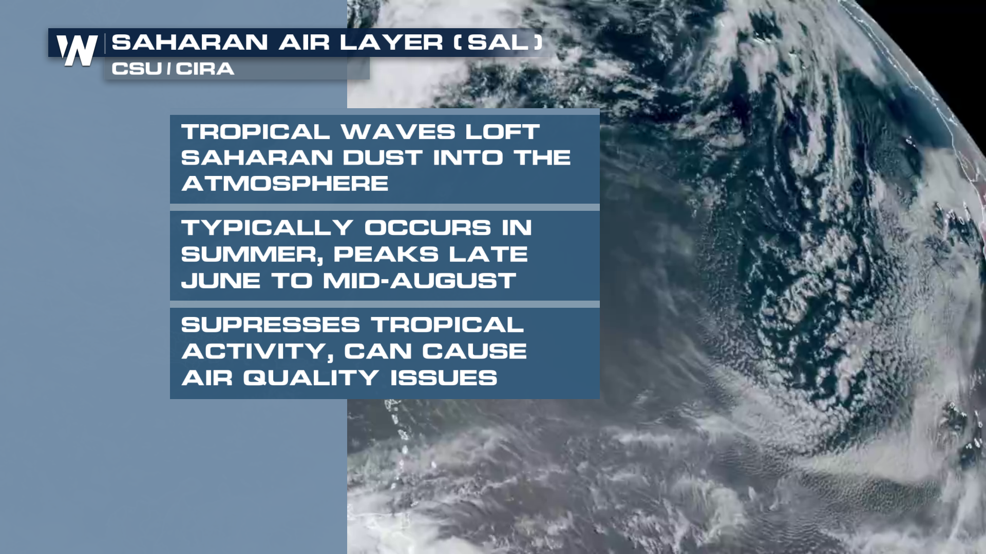
This is not unusual for this time of year. Outbreaks of the Saharan Air Layer (SAL) typically occur in the Atlantic during the summer months as strong westerly waves move off of Africa, sending dust out over the Atlantic. Depending on the speed and intensity of the SAL outbreak, these plumes of dry, dusty air can reach parts of the U.S. at times, even the middle of the country!
Heat
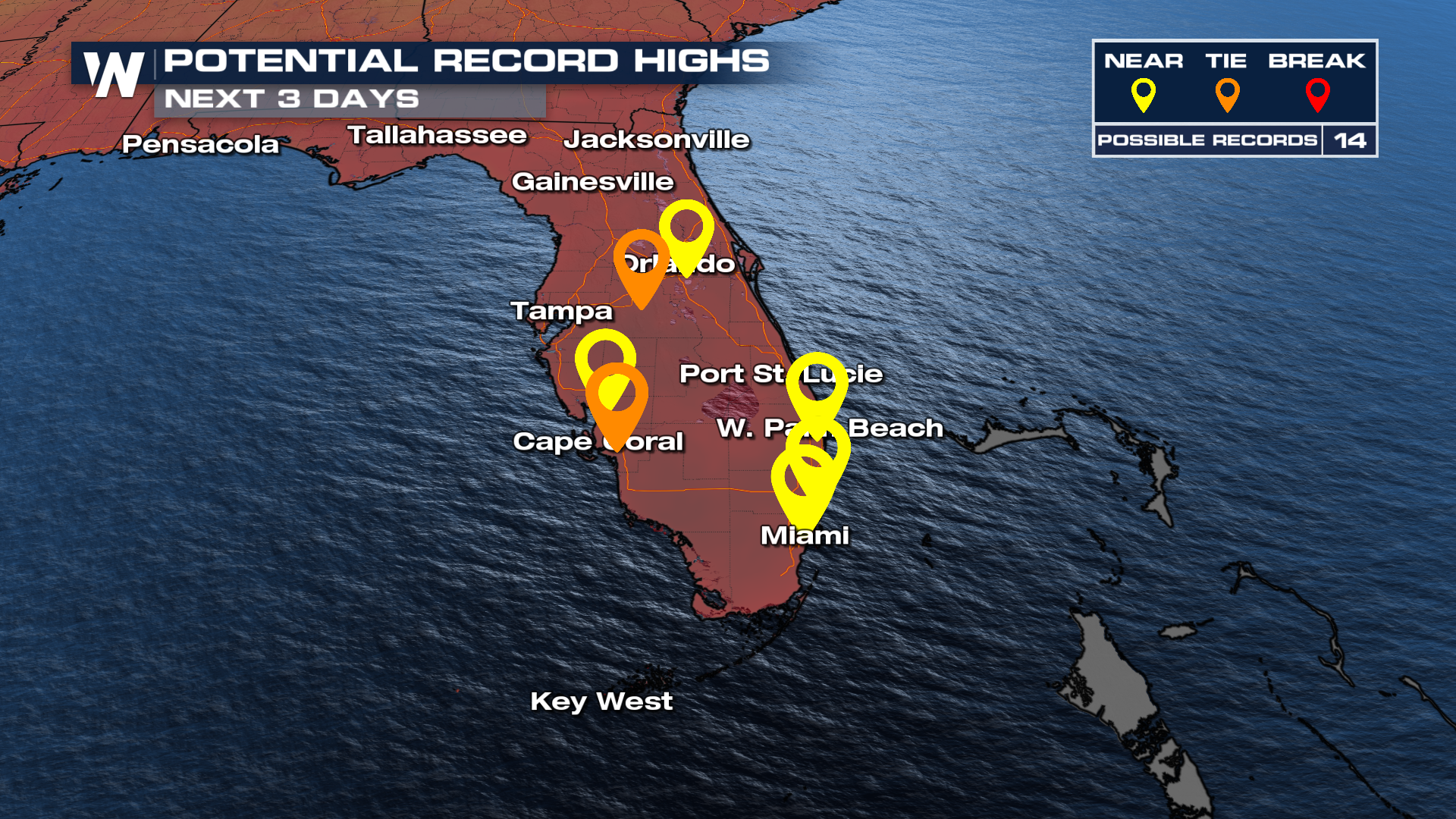
Hot and humid conditions will persist in the Southeast while the Saharan Air moves through. While the SAL does dry out the mid-levels of the atmosphere, the bottom 5,000 feet is typically unaffected, meaning humidity won't change much even though there may be fewer storms.