Severe Thunderstorm Risk Continues Thursday
Special Stories
30 May 2019 9:30 AM
SEVERE OUTLOOK
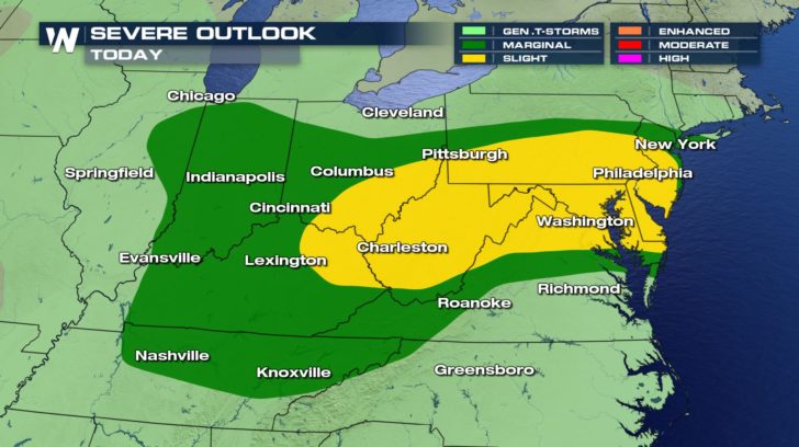
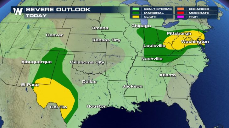 The active severe weather pattern seen over the past couple of weeks will continue today (Thursday) with the potential for more severe thunderstorms. The threat will not be as widespread as what we have been seeing for the last several days, although isolated storms could be rather intense.
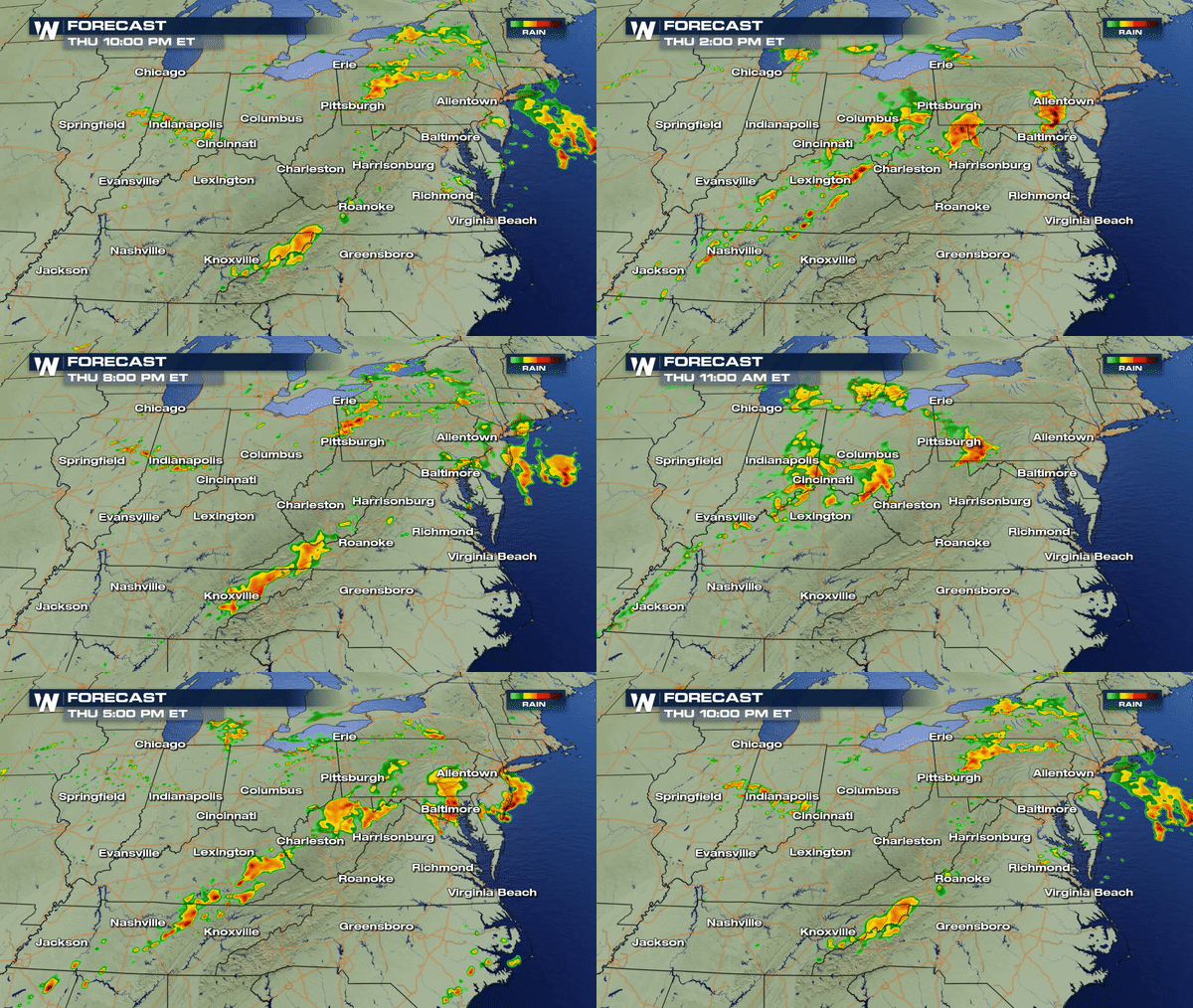
Isolated severe thunderstorms will be possible in western Texas and New Mexico while scattered severe thunderstorms will be possible for the northeast. Expect damaging winds, hail, and possibly even tornadoes.
SOUTH FORECAST
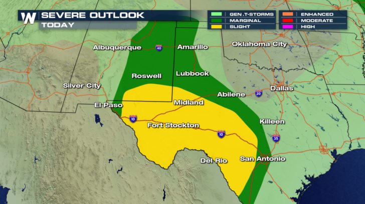
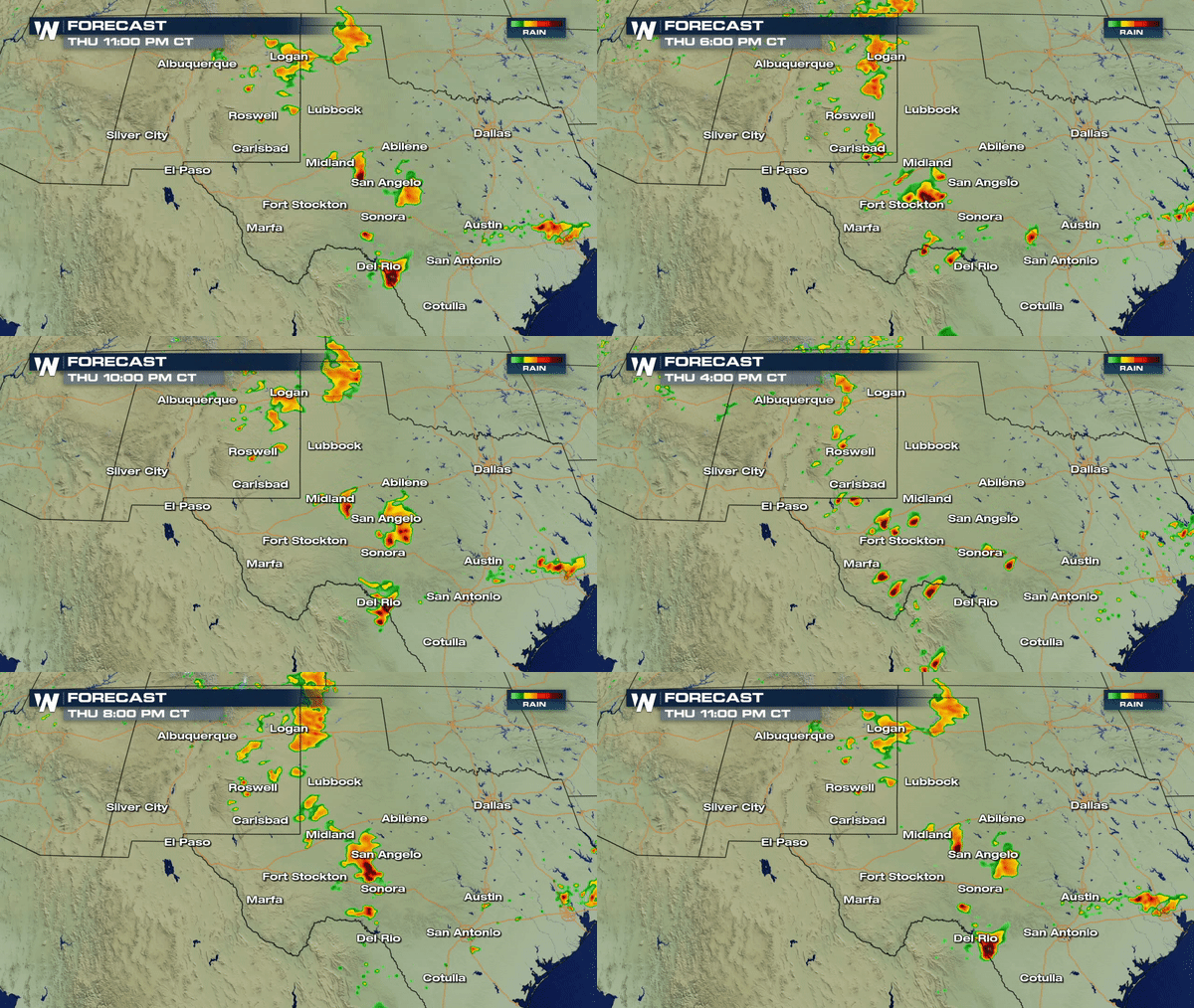 Strong storms will start to fire off in western Texas during the afternoon on Thursday. Around 5 to 6 PM, New Mexico should start to see these strong to severe storms, as well.
These storms will linger overnight into early Friday morning.
NORTHEAST FORECAST
All Weather News
More