Severe Storms and Flooding Happening Now in Wisconsin
Special Stories
28 Aug 2018 3:41 PM
SEVERE THUNDERSTORM WATCH has been issued for areas of Iowa, Minnesota and Wisconsin through 8PM TONIGHT. WATCH for the potential of damaging winds, hail and isolated tornadoes. Flooding will also be a concern to monitor.
https://twitter.com/WeatherNation/status/1034504975764713472
Local rivers and tributaries are running near flood stage for many areas which means flooding potential remains elevated until the heavy rain has passed.
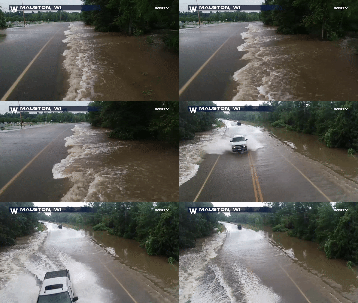 After days of heavy rain the ground has become too saturated to absorb any of the ongoing rain today. This means the water is running off or ponding up leading to more isolated flooding in the areas around Mauston, WI
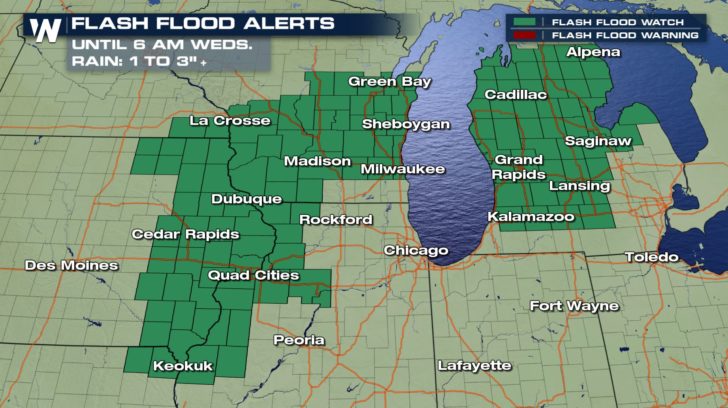
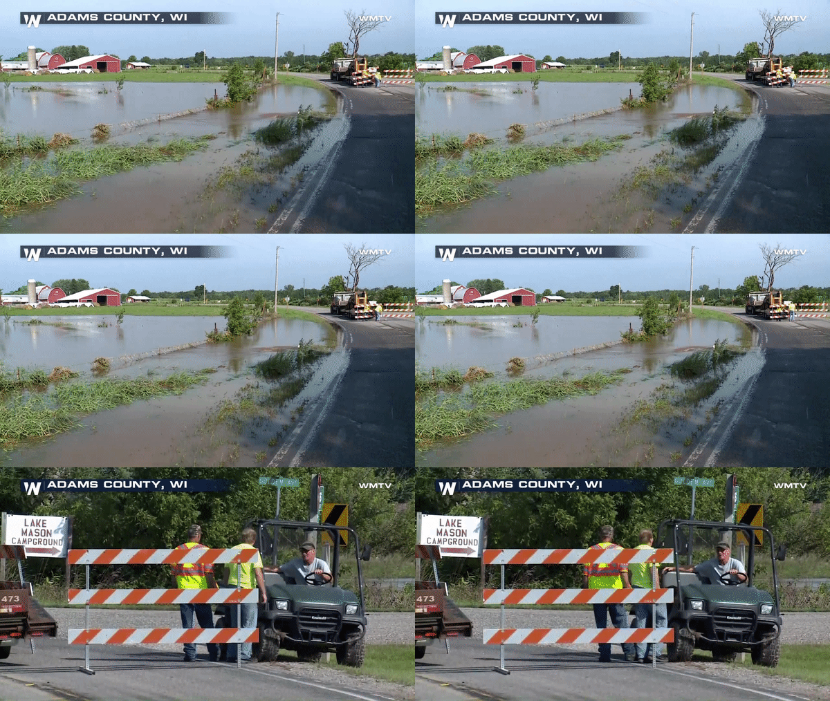 Flash Flood Watches remain in effect until early morning hours on Wednesday when the rain moves out.
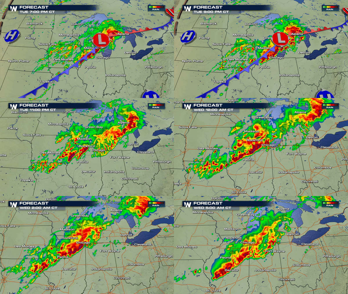 Stay with WeatherNation for live coverage of these severe storms.
 After days of heavy rain the ground has become too saturated to absorb any of the ongoing rain today. This means the water is running off or ponding up leading to more isolated flooding in the areas around Mauston, WI
 Flash Flood Watches remain in effect until early morning hours on Wednesday when the rain moves out.

 Stay with WeatherNation for live coverage of these severe storms.
All Weather News
More