Severe Storms in the Midwest Overnight

Top Stories
25 Jul 2023 2:50 AM
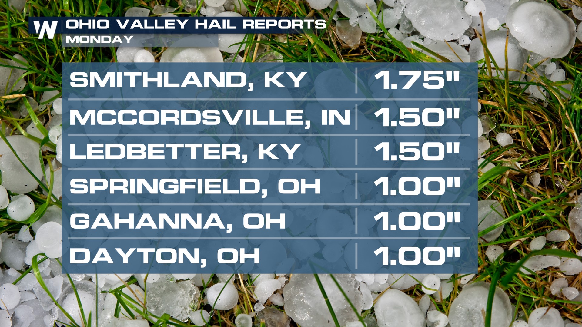
A severe weather threat remains in the Ohio Valley overnight, following large hail from Missouri to Ohio. We have observed hail as large as a golf ball in size from Monday's storms.
There is a SLIGHT risk around Cincinnati and Louisville where the strongest storms will be located.
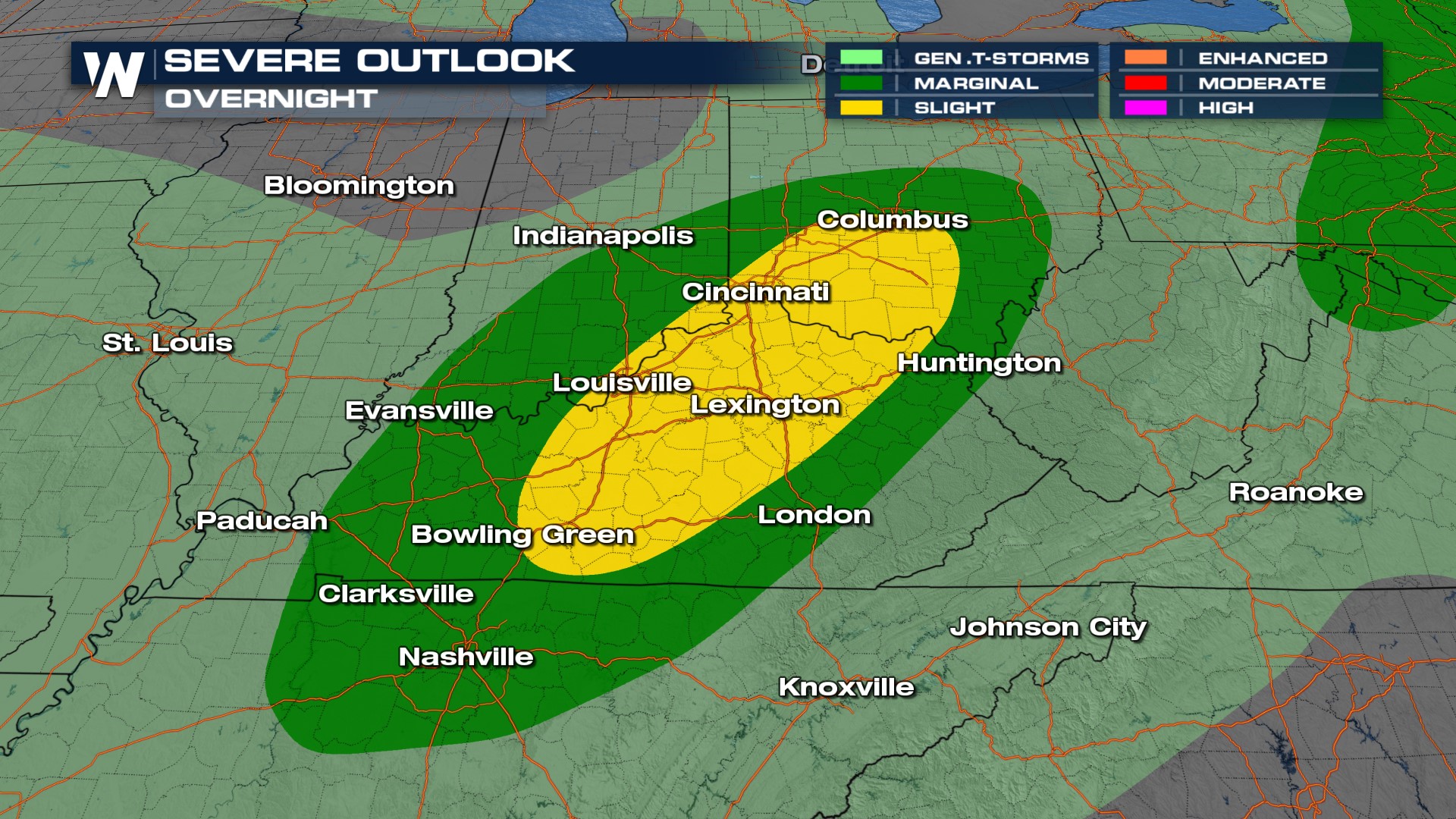 Here's a look at the overnight timing for thunderstorms:
We could use more rainfall, especially around the central Plains where there are pockets of extreme and exceptional drought. Unfortunately, storms won't pack too much of a punch with the rainfall content this afternoon.
 Stay with WeatherNation for the latest in the severe weather threat for the Central Plains, always streaming 24/7.
All Weather News
More
Severe Storms Target the Midwest to the Northeast
UPPER MIDWEST - Dangerous tornadoes have alre
28 Jul 2026 1:45 AM

Tropics: Fausto Heads towards Hawaii; Genevieve Cat 4 Hurricane
PacificHurricane Fausto continues to track we
28 Jul 2026 1:45 AM


Southeast Flood Risk Lingers Near Stalled Front
A stalled boundary over the Southeast will ke
25 Jul 2026 10:55 AM

Another Round of Storms Targets the Northeast
Tuesday brought severe weather again across p
23 Jul 2026 1:15 AM

Another Round of Severe Weather for the Upper Midwest and Great Lakes
The upper-level low train continues to keep t
21 Jul 2026 1:45 AM