Severe Weather Possible in the High Plains and Upper Midwest
Special Stories
11 Sep 2018 10:58 AM
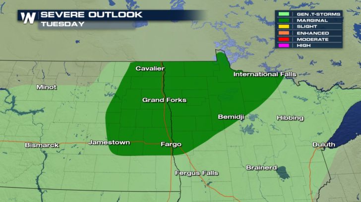
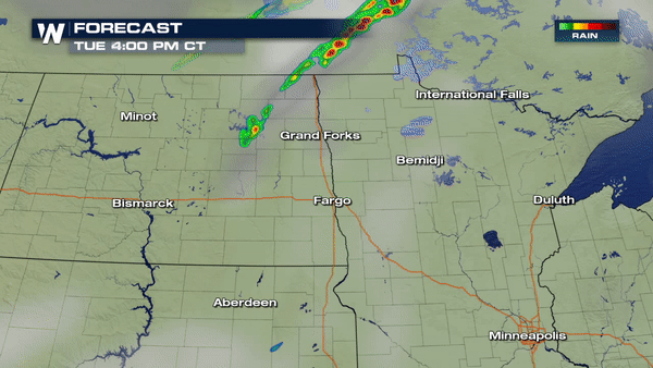
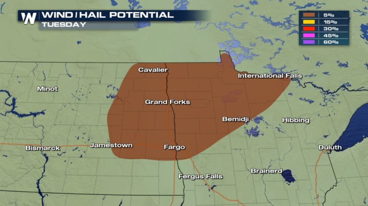 Severe weather is possible in North Dakota and Minnesota as a cold front moves in from Canada. There will be a possibility of seeing damaging winds around 58 mph and hail up to an inch in diameter. The good news is that there is no tornado risk for today!
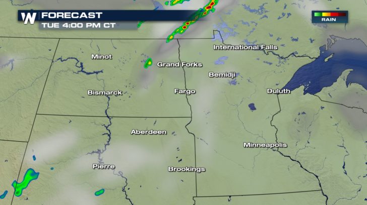
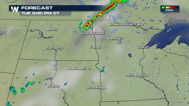
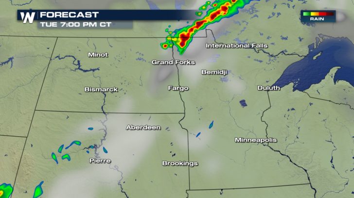 Storms will be short-lived. They will start up around 4 P.M and continue to around 8 P.M before gradually dissipating. Nonetheless, stay weather aware throughout those hours due to the chance of seeing damaging winds and hail.
All Weather News
More
Severe Storms For the East Coast Through Tuesday
Frontal systems have been crossing the northe
30 Jun 2025 9:00 PM

Severe Weather Threat Continues in the Midwest
It has been an active, severe season across t
30 Jun 2025 9:00 PM


Hurricane Center Monitoring Florida for Tropical Development
Residents and visitors to the Southeast will
30 Jun 2025 3:05 PM

Where Rain Could Dampen Holiday Travel Plans
AAA is expecting over 70 million travelers to
30 Jun 2025 3:00 PM

Barry Makes Landfall, Watching Flossie Next
While the Eastern Pacific has made most of th
30 Jun 2025 10:50 AM

Thunderstorms Possible in the Southeast Overnight
SOUTHEAST - Strong thunderstorms have develop
28 Jun 2025 2:40 AM