Flooding & Severe Storms in the Midwest & Plains
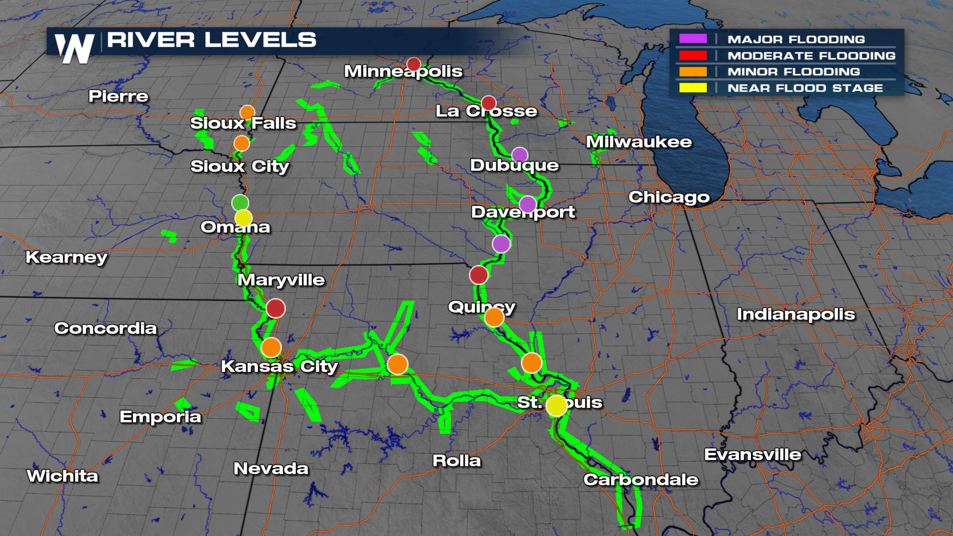
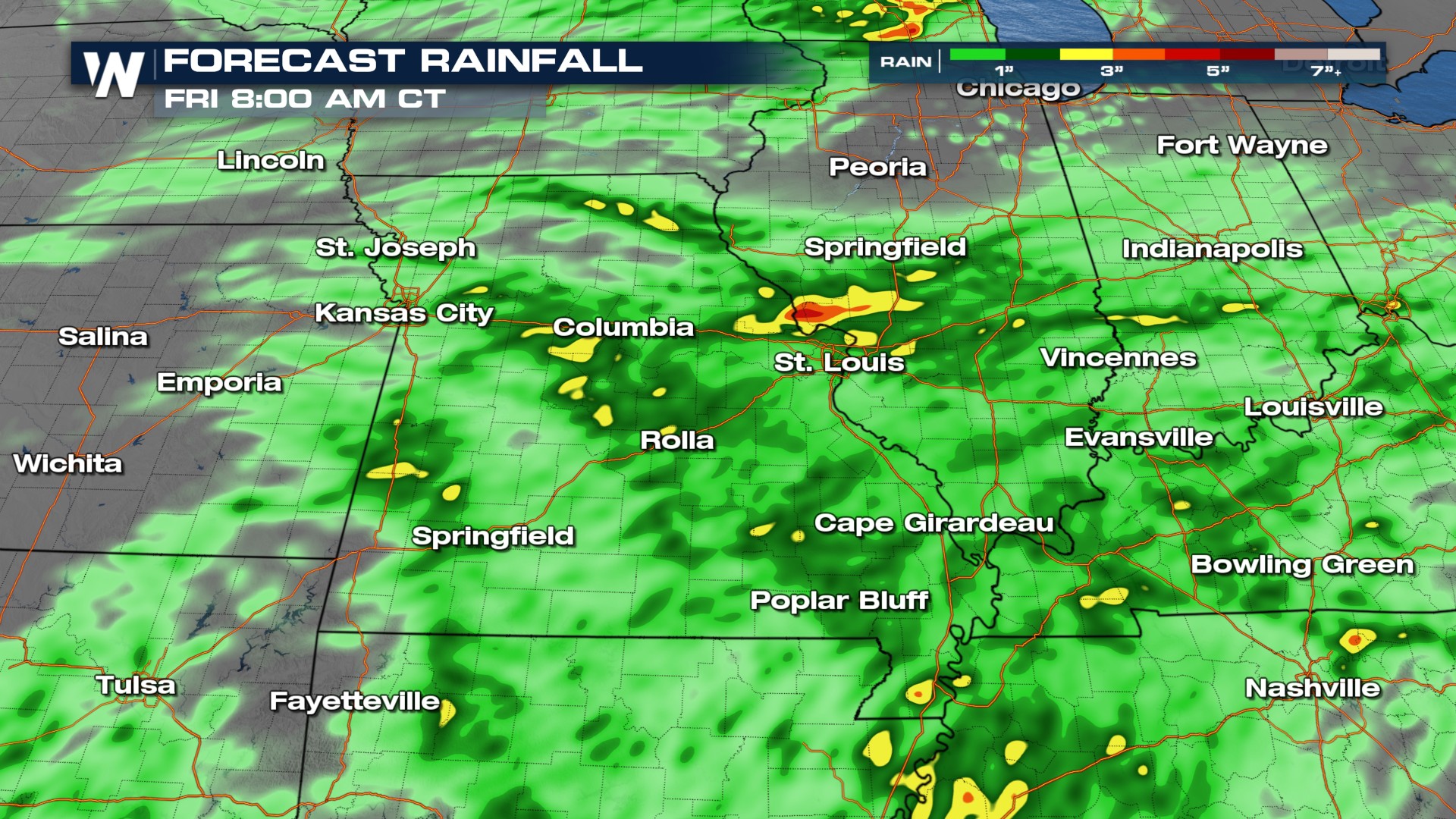
Multiple storm chances are ahead in the High Plains and Midwest, following extreme flooding in late June in the region. Just as pressing as the storm chance highlighted by the Storm Prediction Center is the threat of more flooding. 1-3+ more inches of rain could fall through Thursday, increasing flash flooding chances over saturated soils. Rivers are still in moderate and major flood stage, including the Mississippi and Missouri Rivers. Any additional rainfall will exacerbate already presenting flooding issues. Portions of Nebraska have seen between 5 and 8 inches of rainfall. Davey, NE saw 7.53" of rain since Tuesday. Flooding will still be a concern with these storms over the next few days as a cold front moves through.
 Thursday
A slight risk (level 2 out of 5) for severe storms has been issued from Oklahoma through Ohio. A second slight risk is in effect from Iowa into Wisconsin and Minnesota. Morning storms will likely wane some before new storms fire off in the second half of the day with all threats of severe weather on the table. Showers and storms develop in the heat of the day and will be individual (supercell) in nature. This means there is a heightened opportunity for large hail and tornadoes. Please have multiple ways to get alerts!
Flash flood warnings have already been issued Thursday morning for the I-70 corridor, and more are possible as the next round of storms gets going through the afternoon and evening.
 Rainfall totals through Friday morning could top 1-3 inches in some areas, possibly leading to additional flooding.