Storms Sweep Through the Plains, Midwest
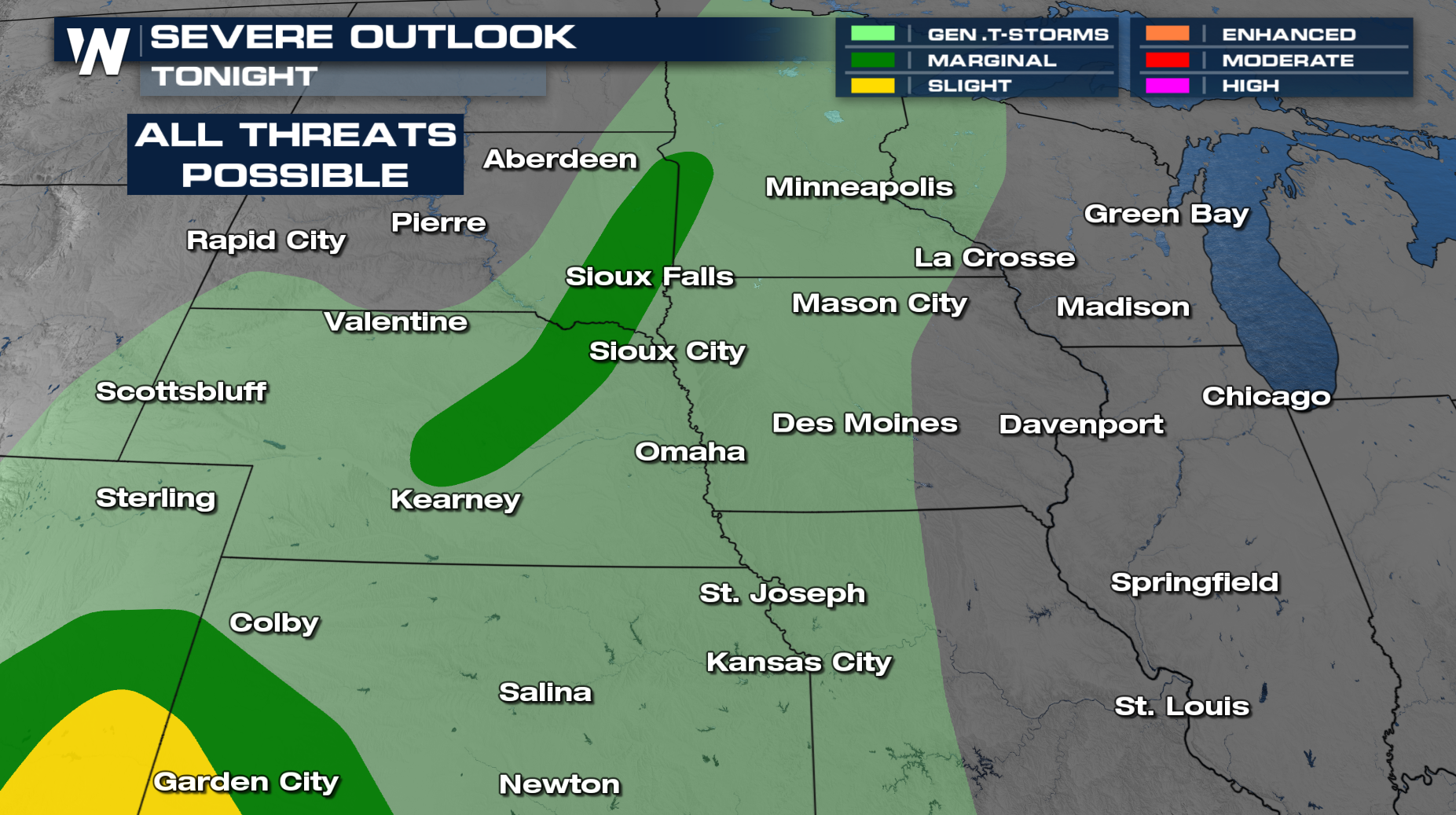
Our next cold front sweeps through the central U.S. on these final days of May, producing a severe storm potential for the High Plains. On Thursday, there is an isolated risk of severe storms in Nebraska and South Dakota. However, most of the storms have remained below severe weather limits throughout the day.

Additionally, heavy rainfall will be possible for eastern Kansas and southern Nebraska with upwards of 3" through Friday morning. This may create localized flooding concerns along I-35 in Kansas City and points south.
By Friday morning the front will be moving into the Midwest with more storms likely from Illinois through Arkansas. There is no severe weather outlook in the Midwest, but a storm or two could be on the stronger side through the Mississippi Delta during the day on Friday with damaging winds the most likely threat. Otherwise, this will primarily be a heavy rain concern in the mid-South and Midwest on Friday and Saturday.