New England Storms Prompt Flash Flood Alerts
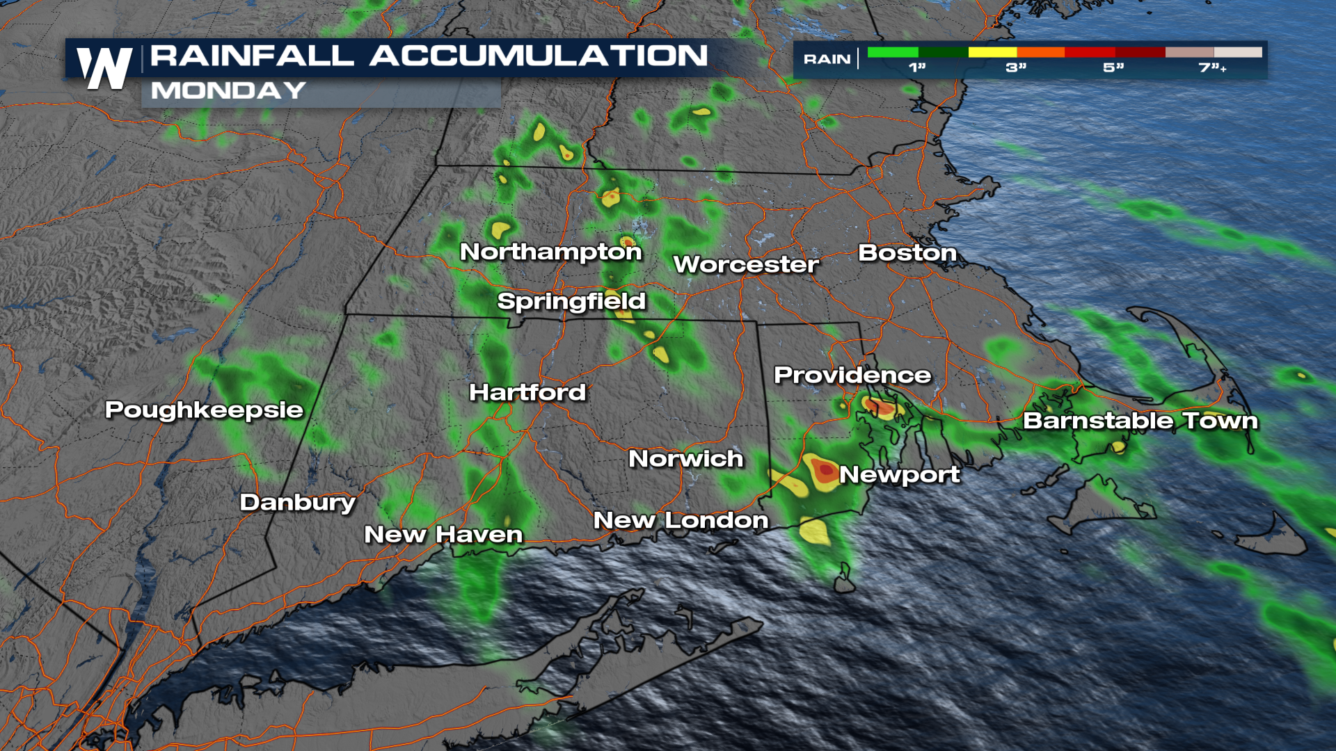
NEW ENGLAND - It's been about 10 days since deadly flooding occurred in Connecticut declaring a state of Emergency on August 17th, 2024. Today, flash flood warnings have been promptly issued across southern New England with rainfall rates of 1" per hour, and additional totals up to 2" are possible.
 Storms should lose their intensity, especially after the sun sets and we lose daytime heating in these areas.
The severe outlook follows as our second system starts to reach the Great Lakes on Tuesday. Our marginal and slight risks follow the shorelines of Lake Erie and Ontario. A few isolated storms have the possibility of producing strong winds and some hail in the second half of the day.
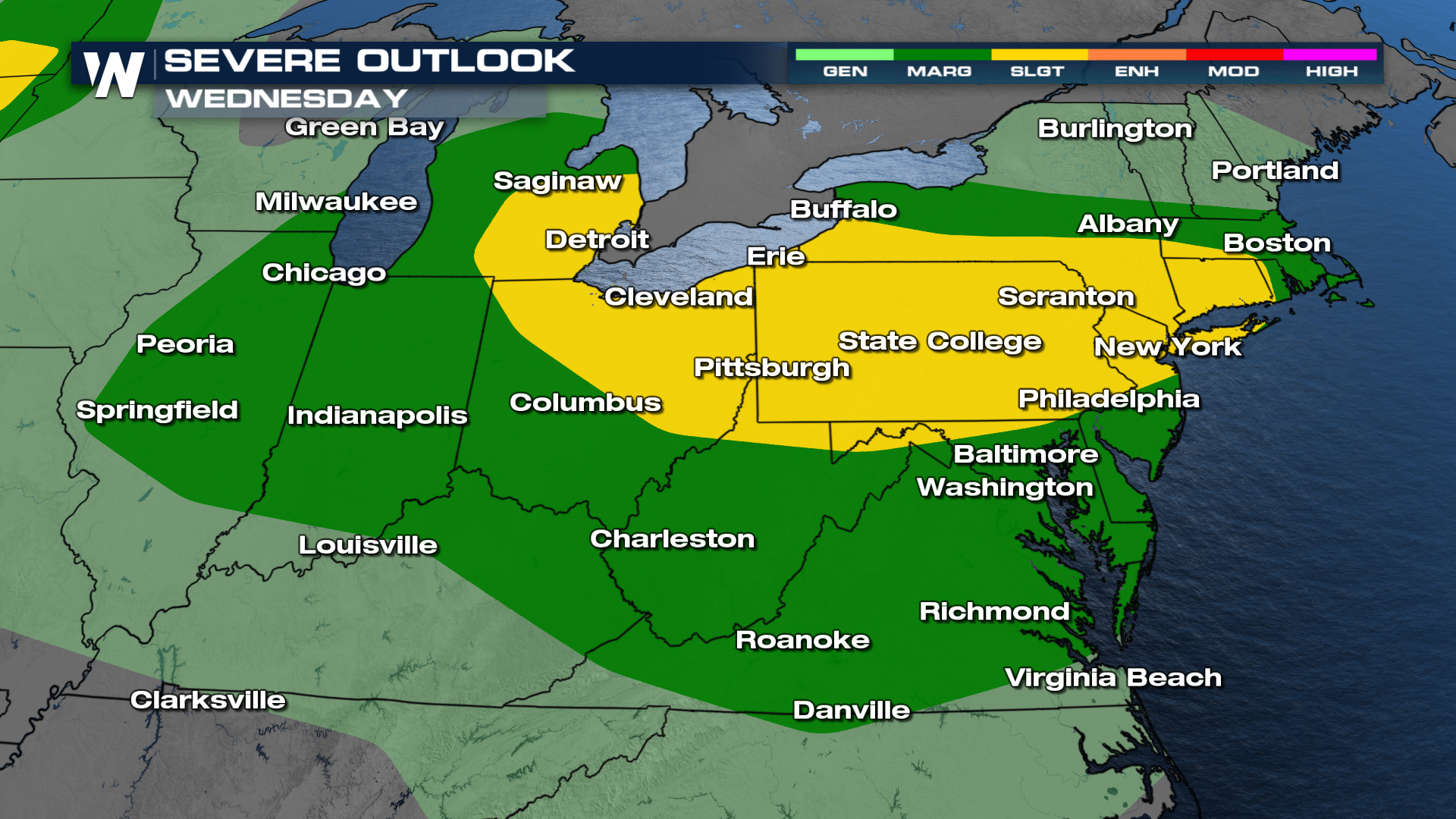
The same low-pressure system is responsible for a large slight risk from Detroit through New York City on Wednesday. Given this is three days away, it goes to show the Storm Prediction Centers (SPC) confidence in our chance of seeing some severe storms by the middle of the workweek.

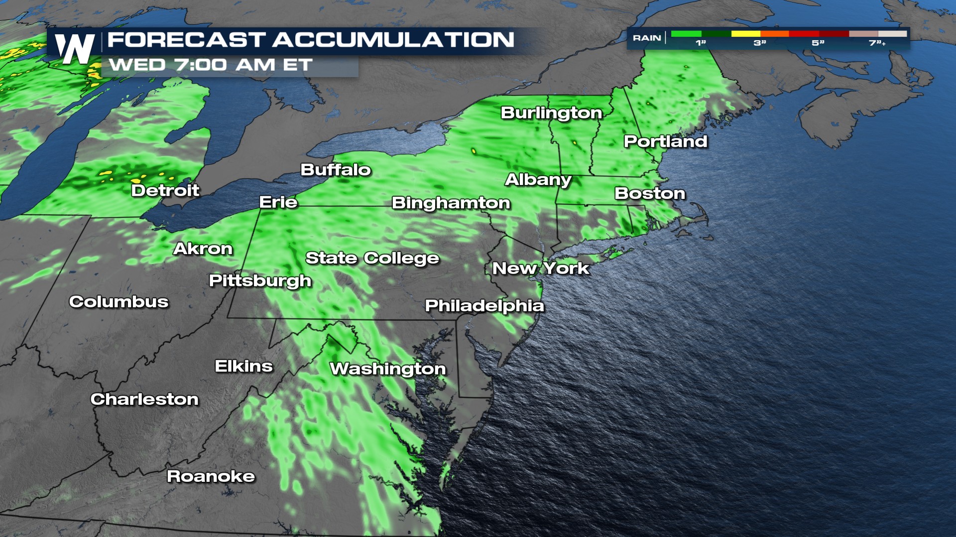
With a few rounds of storms, some localized areas could pick up 2 inches of rain or more, which could spark some flash flooding. Keep that in mind to start the workweek!
