Strong Storms Target the Southeast

A developing storm system is expected to bring the potential for severe weather across portions of the Southeast Saturday, with the Storm Prediction Center outlining a Marginal Risk for strong to severe thunderstorms from eastern Mississippi through much of Alabama and into Georgia. The setup features a stalled frontal boundary draped across the region, acting as a focus for thunderstorm development.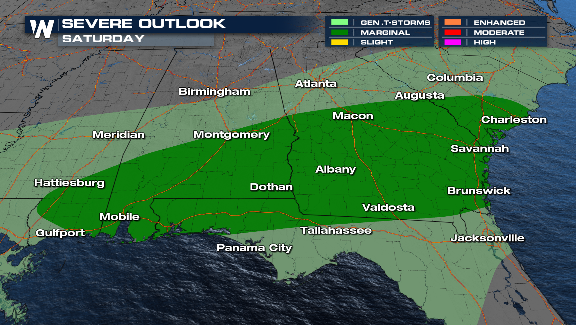
Warm, moisture-rich air is in place across southern Alabama and Georgia, with dew points climbing into the upper 60s. As daytime heating increases, this unstable air mass will provide additional fuel for storms to intensify. At the same time, stronger winds higher in the atmosphere will support storm organization, meaning a few thunderstorms could evolve into more structured clusters or rotating cells. When wind shear and instability overlap like this, the threat for damaging wind gusts increases, and a brief tornado cannot be ruled out.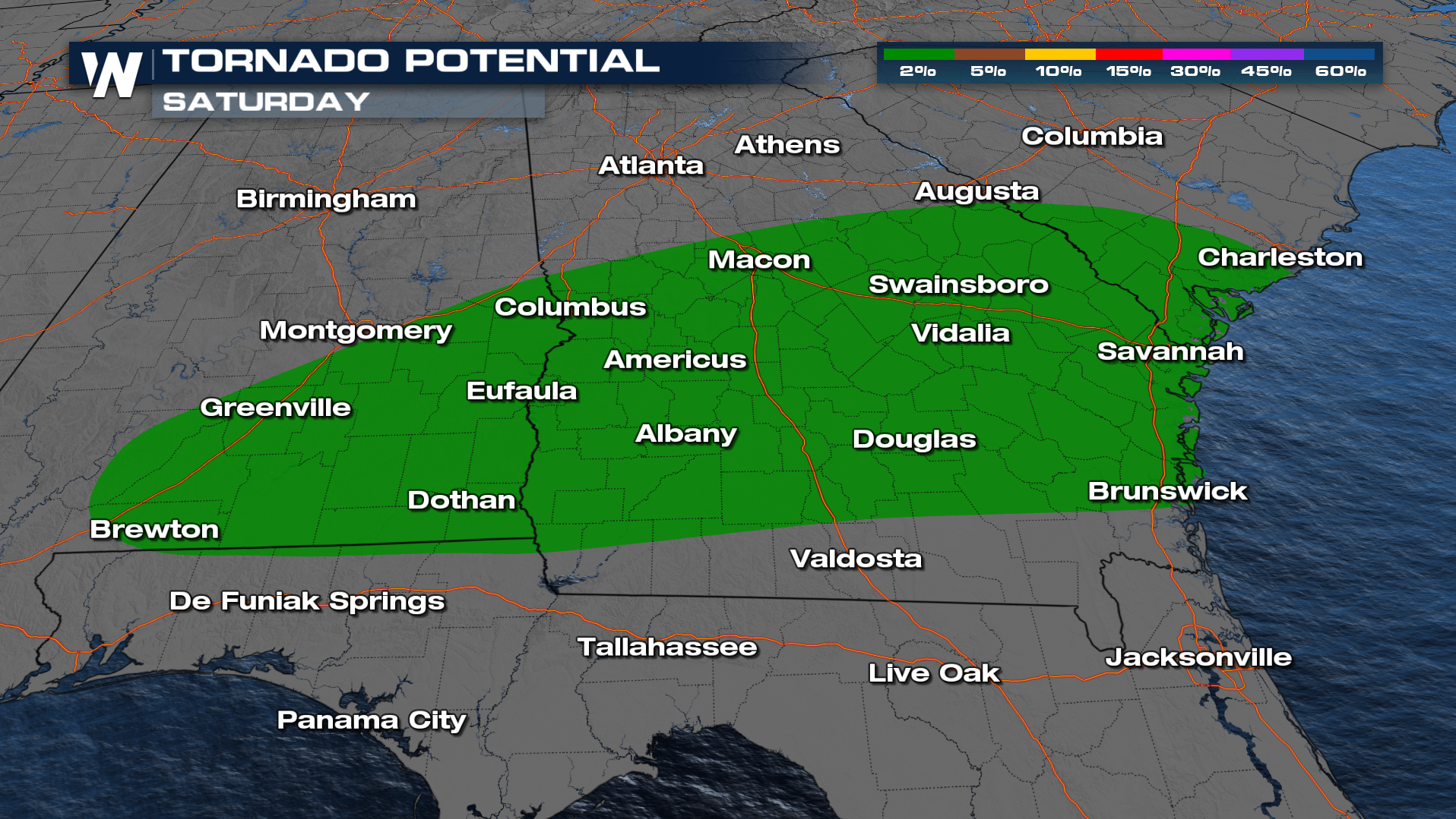
The greatest concern today centers on southeast Alabama into southwest and south-central Georgia, where storms may tap into the most favorable combination of moisture, lift, and wind energy. Later this afternoon and into the evening, attention may shift toward far southern Alabama and the Florida Panhandle as the frontal boundary settles southward and additional storms develop along it.
While widespread severe weather is not expected, any storm that becomes strong could quickly produce hazardous conditions, including wind gusts strong enough to down trees or power lines, pockets of hail, frequent lightning and torrential downpours leading to localized flooding. Because storms may develop in clusters, some communities could experience repeated rounds of heavy rain in a short amount of time.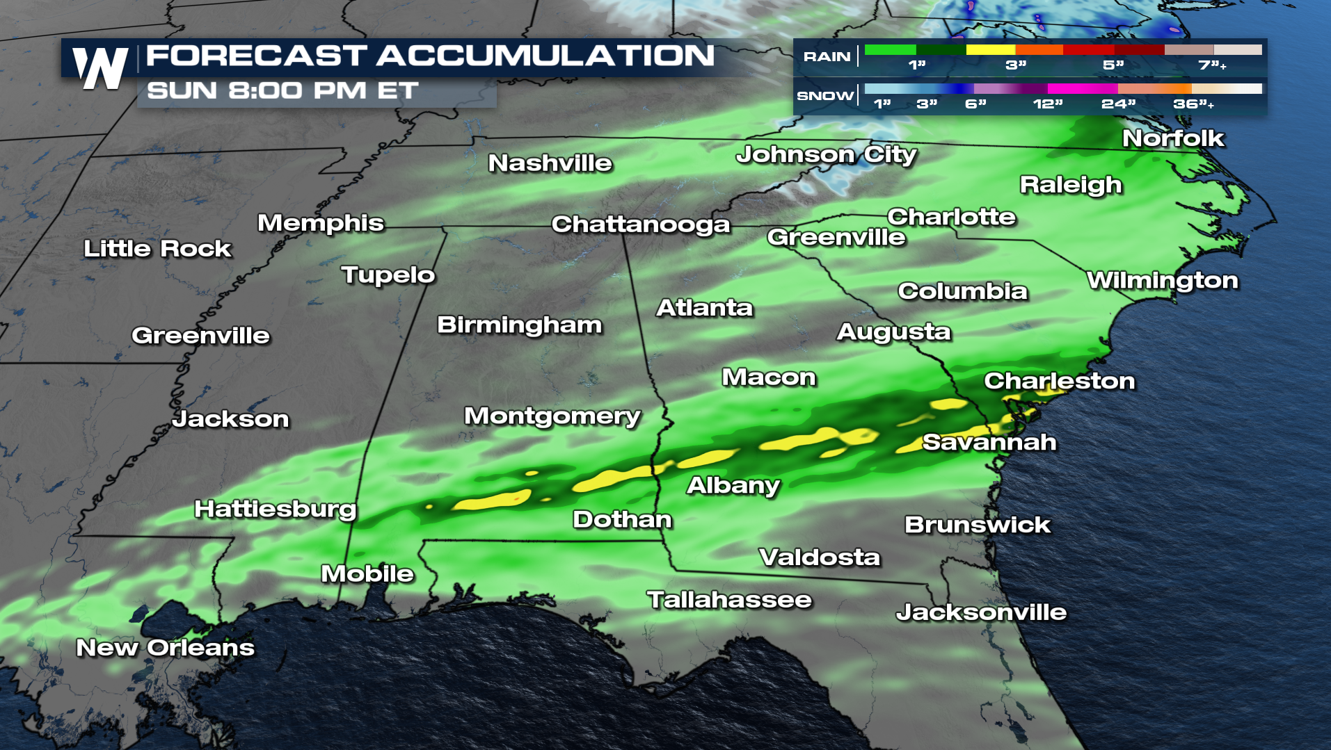
Stay weather-aware throughout Saturday, especially during the peak heating hours of the afternoon. Having multiple ways to receive weather alerts and knowing where to seek shelter if warnings are issued will be important, as conditions could change rapidly where storms strengthen. Cooler and more stable air is expected to filter in behind the front later tonight, gradually bringing an end to the severe threat.
Stay tuned to WeatherNation for more details.


