Trough Shifts East, Severe Storms & Flooding Possible

A strong storm system that brought severe storms and flooding rain to Texas and Oklahoma is on the move. The trough is moving east with more impactful weather before it heads into the Atlantic Saturday afternoon.
Severe storms are possible along the cold front tonight through Saturday morning from Kentucky into Mississippi. Wind damage is expected to be the primary hazard, so be sure to secure any loose objects outdoors.
Scattered heavy downpours are expected to persist north of the low across the Midwest and Ohio Valley tonight. Severe storms could form into the overnight hours. Our high-resolution forecast model shows supercell thunderstorms developing late in the evening in West Tennessee, before tracking east overnight into the Deep South.
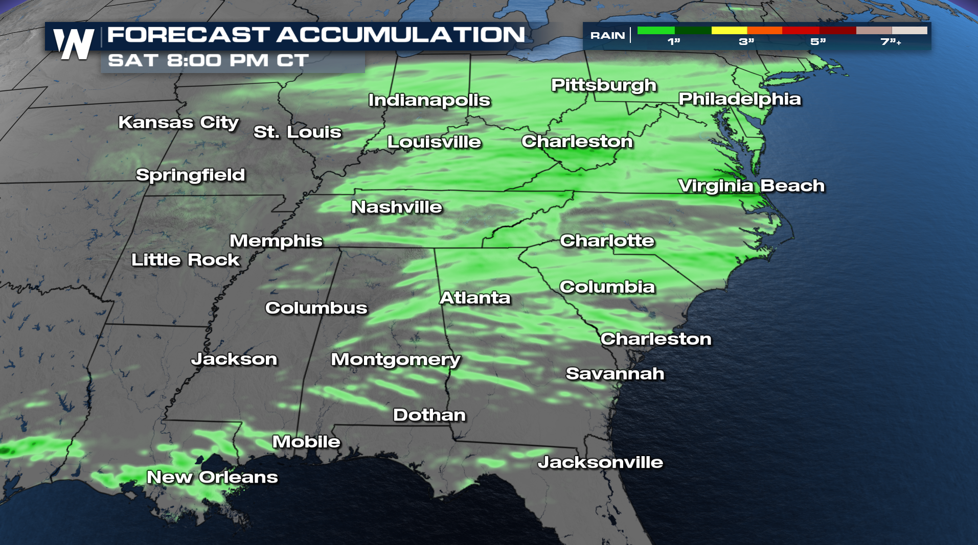
Rainfall totals don't look too impressive thanks to the progressive movement of this system. 1-2 inches is expected for most areas that see thunderstorms.