Upcoming Satellite Mission will Improve Hurricane Forecasts
Special Stories
18 Aug 2020 1:44 AM
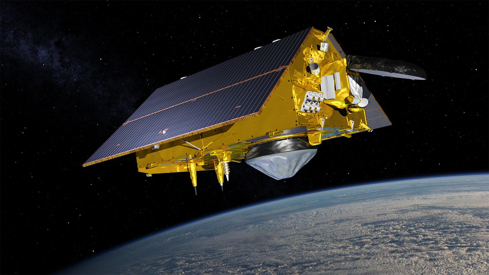
[Artist's rendering of the Sentinel-6 Michael Freilich satellite. From NOAA]
[Written by NOAA NESDIS] A new satellite designed to capture detailed measurements of sea-surface height and other ocean features is scheduled to launch in November 2020. The Sentinel-6 Michael Freilich satellite will help provide enhanced hurricane intensity forecasts and improved information of Earth’s climate.
This joint international mission is set to launch November 10 from Vandenberg Air Force Base in California.
Sentinel-6 Michael Freilich will be the fourth in a 28-year series of ocean altimeter missions, which include TOPEX/Poseidon – Jason-1, OSTM/Jason-2 and Jason-3.
Data from the mission will be critical in NOAA's efforts to track sea-level rise, study tsunami dynamics, the El Niño Southern Oscillation, and more accurately predict hurricane intensity. We talked with Eric Leuliette, NOAA's program scientist for Sentinel-6 Michael Freilich about the agency's planned use of the data.
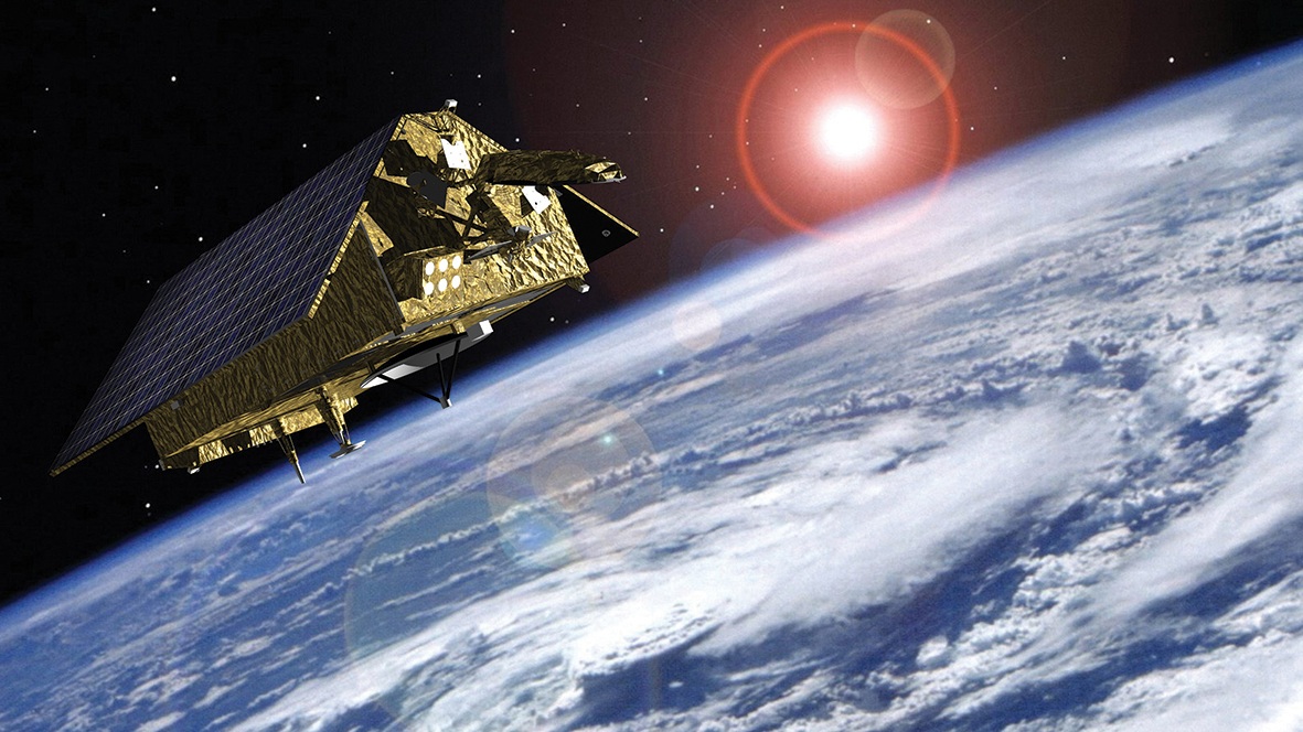 [Artist's rendering of the Sentinel-6 Michael Freilich satellite over the Earth. From the European Space Agency]
Q: NOAA is a partner in the upcoming Sentinel-6 Michael Freilich. In what ways will NOAA use the data from the mission?
A: Sentinel-6 Michael Freilich has been designed to collect the most accurate measurements of the ocean’s surface ever made from space and to send this data rapidly to forecasters and scientists in many different parts of NOAA. Sentinel-6 data will be used to estimate the heat stored in the upper layer of the ocean to improve the forecasting of the intensity of hurricanes.
NOAA will also routinely use data from the satellite to assist commercial shipping and ship routing, and to issue wave warnings to offshore operators. NOAA’s fisheries scientists will include the data in models to help sustainable fisheries and protected aquatic species. The data are also valuable to NOAA’s coral reef research and for responding to environmental problems like oil spills and harmful algal blooms. NOAA even uses the data to map seamounts on the ocean floor.
Q: Once the satellite launches, what is the projected timetable for when NOAA can start using the data?
A: NOAA scientists will start testing the data a few weeks after launch. About five months after launch the mission partners will meet to verify that the data meet the requirements for forecasters, and NOAA will start using the data in its products shortly after that. The version of the data suitable for climate studies should be available beginning one year after launch.
[Artist's rendering of the Sentinel-6 Michael Freilich satellite over the Earth. From the European Space Agency]
Q: NOAA is a partner in the upcoming Sentinel-6 Michael Freilich. In what ways will NOAA use the data from the mission?
A: Sentinel-6 Michael Freilich has been designed to collect the most accurate measurements of the ocean’s surface ever made from space and to send this data rapidly to forecasters and scientists in many different parts of NOAA. Sentinel-6 data will be used to estimate the heat stored in the upper layer of the ocean to improve the forecasting of the intensity of hurricanes.
NOAA will also routinely use data from the satellite to assist commercial shipping and ship routing, and to issue wave warnings to offshore operators. NOAA’s fisheries scientists will include the data in models to help sustainable fisheries and protected aquatic species. The data are also valuable to NOAA’s coral reef research and for responding to environmental problems like oil spills and harmful algal blooms. NOAA even uses the data to map seamounts on the ocean floor.
Q: Once the satellite launches, what is the projected timetable for when NOAA can start using the data?
A: NOAA scientists will start testing the data a few weeks after launch. About five months after launch the mission partners will meet to verify that the data meet the requirements for forecasters, and NOAA will start using the data in its products shortly after that. The version of the data suitable for climate studies should be available beginning one year after launch.
 [Eric Leuliette, NOAA's program scientist for Sentinel 6 Michael Freilich. From NOAA]
Q: With this satellite serving as a "follow-on" to the Jason-3 mission, what are some of the advantages of having data from both satellites flying behind each other so closely [30 seconds] in the same orbit?
A: Sentinel-6 Michael Freilich will continue a remarkable series of ocean surface observations started by TOPEX/POSEIDON in 1992 and followed by the three Jason missions. Each new satellite in this series has spent a few months following closely behind its predecessor so that both measured the same patch of the ocean at nearly the same time. Because Sentinel-6 includes a newer generation technology in its radar altimeter, we will use the simultaneous measurements for almost a year to precisely understand and account for any differences between Jason-3 and Sentinel-6. The instrument to instrument comparisons made during this “tandem phase” are necessary to accurately measure sea level rise.
Q: Why is it important to track global sea-level rise?
A: The coasts of the United States are experiencing more frequent flooding related in part to the rise of sea level, particularly in cities like Norfolk, Virginia, and Miami, Florida. NASA and NOAA scientists are working on new forecasts of regional sea level change, which will use Sentinel-6 Michael Freilich data. The rate of sea level rise over the last ten years is 50% faster than during the previous ten years (4.5 cm/decade versus 3.0 cm/decade). Sentinel-6 will be our key tool for monitoring the predicted continued acceleration of sea level rise.
Q: How critical has it been to have satellites like the Jason series, including Sentinel-6 Michael Freilich?
A: Before satellites were available to observe sea levels and waves, we had very little information about most of the ocean. The Jason series of satellites has become a central part of a global system observing the ocean. Sentinel-6 Michael Freilich, which will bounce approximately 2.5 trillion radar echoes on the ocean surface during its 5.5 year design lifetime, will continue their critical mission of providing NOAA with data needed to observe and predict dangerous weather conditions and sea level change.
Edited for WeatherNation by Mace Michaels
[Eric Leuliette, NOAA's program scientist for Sentinel 6 Michael Freilich. From NOAA]
Q: With this satellite serving as a "follow-on" to the Jason-3 mission, what are some of the advantages of having data from both satellites flying behind each other so closely [30 seconds] in the same orbit?
A: Sentinel-6 Michael Freilich will continue a remarkable series of ocean surface observations started by TOPEX/POSEIDON in 1992 and followed by the three Jason missions. Each new satellite in this series has spent a few months following closely behind its predecessor so that both measured the same patch of the ocean at nearly the same time. Because Sentinel-6 includes a newer generation technology in its radar altimeter, we will use the simultaneous measurements for almost a year to precisely understand and account for any differences between Jason-3 and Sentinel-6. The instrument to instrument comparisons made during this “tandem phase” are necessary to accurately measure sea level rise.
Q: Why is it important to track global sea-level rise?
A: The coasts of the United States are experiencing more frequent flooding related in part to the rise of sea level, particularly in cities like Norfolk, Virginia, and Miami, Florida. NASA and NOAA scientists are working on new forecasts of regional sea level change, which will use Sentinel-6 Michael Freilich data. The rate of sea level rise over the last ten years is 50% faster than during the previous ten years (4.5 cm/decade versus 3.0 cm/decade). Sentinel-6 will be our key tool for monitoring the predicted continued acceleration of sea level rise.
Q: How critical has it been to have satellites like the Jason series, including Sentinel-6 Michael Freilich?
A: Before satellites were available to observe sea levels and waves, we had very little information about most of the ocean. The Jason series of satellites has become a central part of a global system observing the ocean. Sentinel-6 Michael Freilich, which will bounce approximately 2.5 trillion radar echoes on the ocean surface during its 5.5 year design lifetime, will continue their critical mission of providing NOAA with data needed to observe and predict dangerous weather conditions and sea level change.
Edited for WeatherNation by Mace Michaels
[Artist's rendering of the Sentinel-6 Michael Freilich satellite over the Earth. From the European Space Agency]
Q: NOAA is a partner in the upcoming Sentinel-6 Michael Freilich. In what ways will NOAA use the data from the mission?
A: Sentinel-6 Michael Freilich has been designed to collect the most accurate measurements of the ocean’s surface ever made from space and to send this data rapidly to forecasters and scientists in many different parts of NOAA. Sentinel-6 data will be used to estimate the heat stored in the upper layer of the ocean to improve the forecasting of the intensity of hurricanes.
NOAA will also routinely use data from the satellite to assist commercial shipping and ship routing, and to issue wave warnings to offshore operators. NOAA’s fisheries scientists will include the data in models to help sustainable fisheries and protected aquatic species. The data are also valuable to NOAA’s coral reef research and for responding to environmental problems like oil spills and harmful algal blooms. NOAA even uses the data to map seamounts on the ocean floor.
Q: Once the satellite launches, what is the projected timetable for when NOAA can start using the data?
A: NOAA scientists will start testing the data a few weeks after launch. About five months after launch the mission partners will meet to verify that the data meet the requirements for forecasters, and NOAA will start using the data in its products shortly after that. The version of the data suitable for climate studies should be available beginning one year after launch.
[Eric Leuliette, NOAA's program scientist for Sentinel 6 Michael Freilich. From NOAA]
Q: With this satellite serving as a "follow-on" to the Jason-3 mission, what are some of the advantages of having data from both satellites flying behind each other so closely [30 seconds] in the same orbit?
A: Sentinel-6 Michael Freilich will continue a remarkable series of ocean surface observations started by TOPEX/POSEIDON in 1992 and followed by the three Jason missions. Each new satellite in this series has spent a few months following closely behind its predecessor so that both measured the same patch of the ocean at nearly the same time. Because Sentinel-6 includes a newer generation technology in its radar altimeter, we will use the simultaneous measurements for almost a year to precisely understand and account for any differences between Jason-3 and Sentinel-6. The instrument to instrument comparisons made during this “tandem phase” are necessary to accurately measure sea level rise.
Q: Why is it important to track global sea-level rise?
A: The coasts of the United States are experiencing more frequent flooding related in part to the rise of sea level, particularly in cities like Norfolk, Virginia, and Miami, Florida. NASA and NOAA scientists are working on new forecasts of regional sea level change, which will use Sentinel-6 Michael Freilich data. The rate of sea level rise over the last ten years is 50% faster than during the previous ten years (4.5 cm/decade versus 3.0 cm/decade). Sentinel-6 will be our key tool for monitoring the predicted continued acceleration of sea level rise.
Q: How critical has it been to have satellites like the Jason series, including Sentinel-6 Michael Freilich?
A: Before satellites were available to observe sea levels and waves, we had very little information about most of the ocean. The Jason series of satellites has become a central part of a global system observing the ocean. Sentinel-6 Michael Freilich, which will bounce approximately 2.5 trillion radar echoes on the ocean surface during its 5.5 year design lifetime, will continue their critical mission of providing NOAA with data needed to observe and predict dangerous weather conditions and sea level change.
Edited for WeatherNation by Mace MichaelsAll Weather News
More
Southeast Flood Risk Lingers Near Stalled Front
A stalled boundary over the Carolinas will ke
24 Jul 2026 12:35 PM

Severe Chances Return for the Midwest
The upcoming stretch of hot temperatures will
24 Jul 2026 12:25 PM

Tropics: Fausto Heads to Hawaii, Bertha Breaks Apart
BerthaBertha has dissipated after moving inla
24 Jul 2026 11:50 AM

Hot & Smoky w/ a Chance of Lightning
Conditions have been really dry out west. We'
24 Jul 2026 11:15 AM

Very Hot Temperatures For the Western and Central United States
Are you over the summer heat yet? Well, more
24 Jul 2026 9:20 AM

Another Round of Storms Targets the Northeast
Tuesday brought severe weather again across p
23 Jul 2026 1:15 AM

Another Round of Severe Weather for the Upper Midwest and Great Lakes
The upper-level low train continues to keep t
21 Jul 2026 1:45 AM