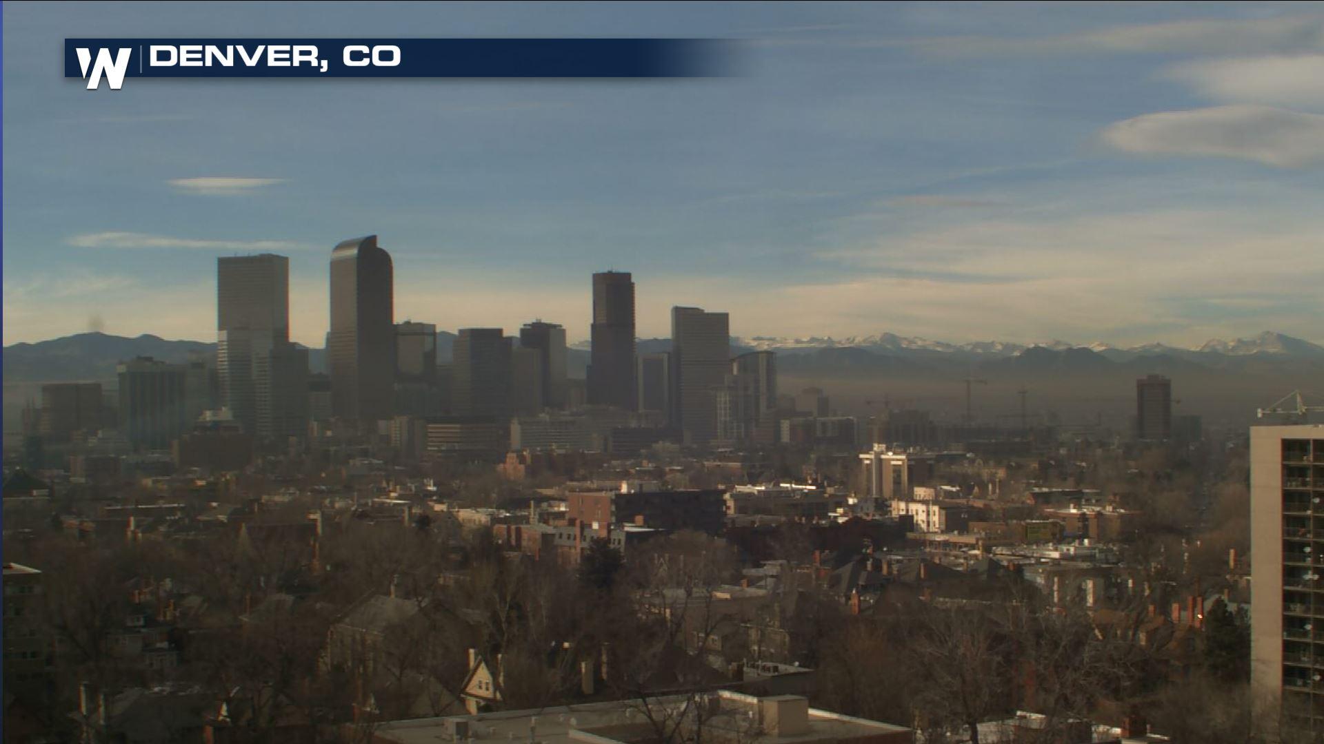
Warm Before the Storm - Record Highs Possible Tuesday
Top Stories
8 Jan 2018 7:04 PM
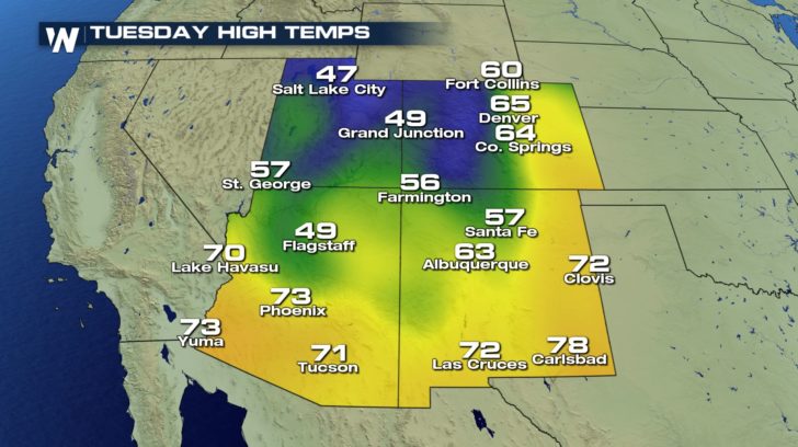
Not everyone will see near record warmth on Tuesday, but if you are on the plains east of the Rockies from Cheyenne, Wyoming south through New Mexico be ready for T-shirt type temperatures Tuesday afternoon.
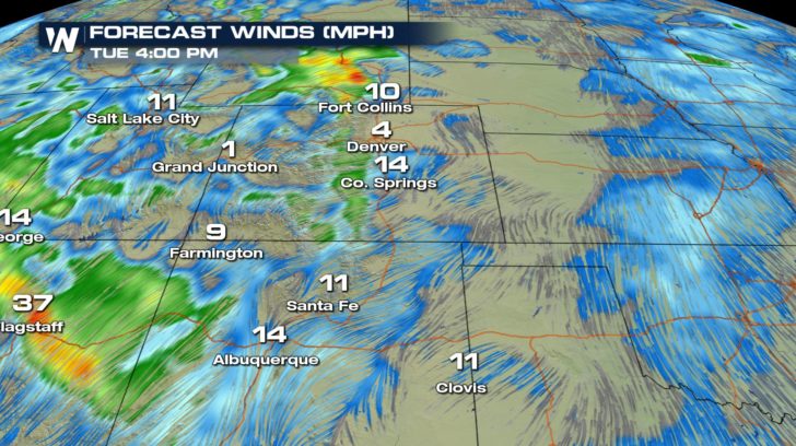
 The wind flow aloft across the Rocky Mountains will turn from westerly to southwesterly ahead of a cold front moving in from the west bringing a setup for a warm day east of the Rockies.
 Breezy conditions tonight, along the I-25 corridor will keep things a bit warmer tonight giving us a warm start to the day on Tuesday.
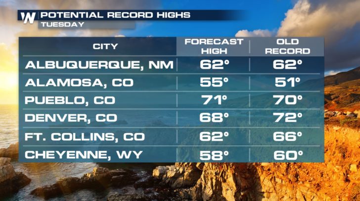
 Tuesday afternoon with a southwesterly wind aloft and a southerly wind at the surface temperatures in Pueblo, Alamosa and Albuquerque, could set new records before slightly cooler temperatures Wednesday and Thursday.
The wind flow aloft across the Rocky Mountains will turn from westerly to southwesterly ahead of a cold front moving in from the west bringing a setup for a warm day east of the Rockies.
Breezy conditions tonight, along the I-25 corridor will keep things a bit warmer tonight giving us a warm start to the day on Tuesday.
Tuesday afternoon with a southwesterly wind aloft and a southerly wind at the surface temperatures in Pueblo, Alamosa and Albuquerque, could set new records before slightly cooler temperatures Wednesday and Thursday.All Weather News
More
Wildfire Outbreak in the Pacific Northwest
Conditions have been incredibly dry out west.
2 Aug 2026 1:30 PM

After Reaching Category 5, Genevieve Weakens in the Pacific
PacificGenevieve formed on last Friday south
2 Aug 2026 1:25 PM

More Storms for the East Sunday and Monday
A low-pressure system crashing through the Mi
2 Aug 2026 1:25 PM


Flooding, Severe Storms Target the Midwest Again
After an active week of storms across the nor
1 Aug 2026 1:40 AM

Flooding Risk Increases as Heavy Rain Targets the Tri-State Area
Tuesday, heavy rainfall moved across the Nort
30 Jul 2026 12:25 AM

Severe Weather: Energy From the Midwest Now in the Southeast
UPPER MIDWEST - Through Monday, dangerous tor
29 Jul 2026 10:30 PM