Wednesday's Severe Weather Update
Special Stories
19 Sep 2018 4:30 AM
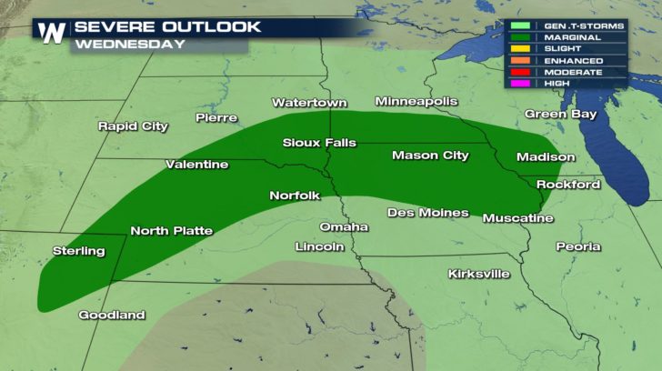
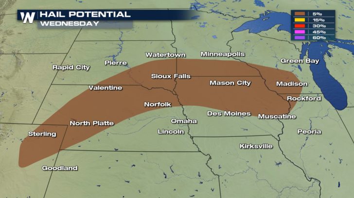
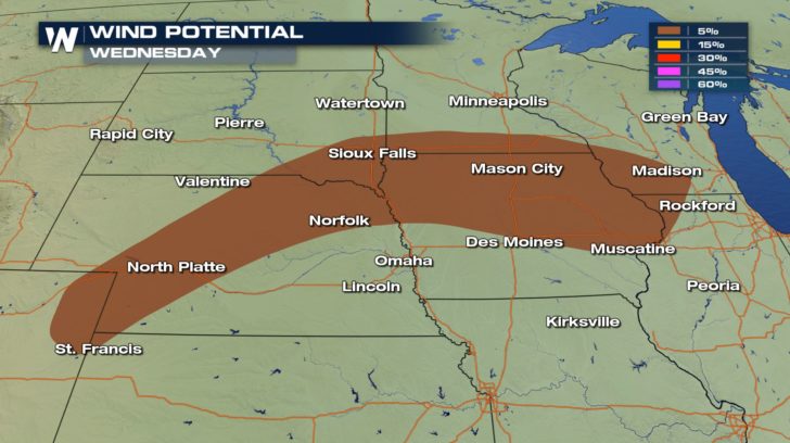
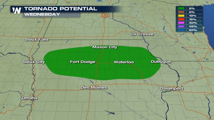 There is a marginal risk of severe weather in the high plains and upper Midwest, today. This means isolated severe thunderstorms will be possible within the dark green area. The potential for damaging winds around 58 mph exists within some of these storms. There is also a potential of of seeing hail up to an inch in diameter. Last, but certainly not least, a tornado potential also exists for Iowa and Nebraska. Although the percentage looks very low, it is still above zero percent which means it is definitely possible that we might see a tornado, today.
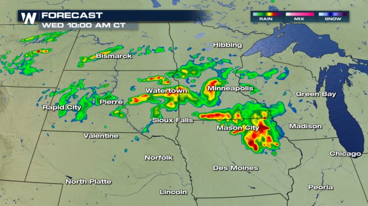
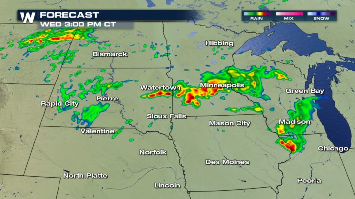
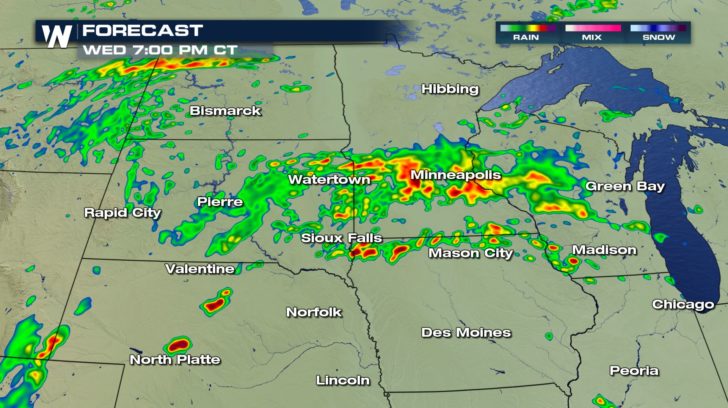 The threat of storms exists all day long. They started up very early this morning and will continue into our evening hours, tonight. Make sure to stay weather aware throughout the day. Rain could be heavy so ponding on the roads could occur on top of the potential for damaging winds, hail, and tornadoes.
All Weather News
More