What is a Clipper System?

Speedy, gusty, snowy … cold. These may be signs you're dealing with one of the most common winter storm types to impact North America. An Alberta Clipper.
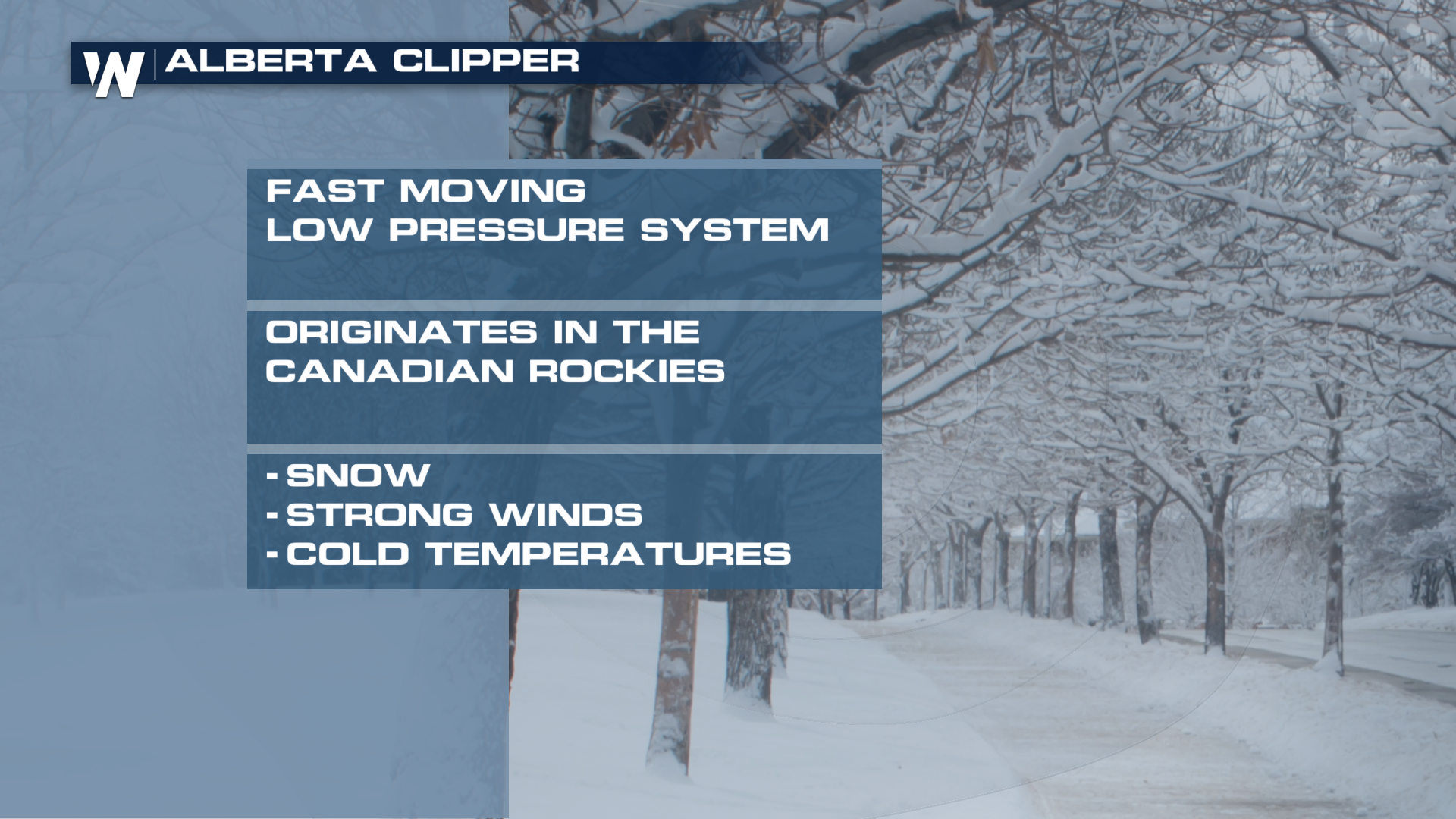
The Clipper gets its name from the province where it forms Alberta in the Lee of the Canadian Rockies. These cold low pressure systems are driven by the fast flowing winds in the jet stream which quickly push them across the northern Great plains into the Great Lakes, Midwest and Northeast.
These systems aren’t typically big snow makers producing around 3, to 6 inches on the higher end. However, they can greatly enhance lake effect snow which can quickly pile up around the Great Lakes. The cold and strong wind flow behind these systems also drops temperatures, induces bitter wind chills, and whips up dangerous blizzard conditions similar to an Alberta Clipper.
If a southward diving low originates in a different province, it can still be a Clipper system but may have a different name such as: Saskatchewan Screamer, Manitoba Mauler, Ontario scary-O. No matter the name, it's best to be prepared for quickly changing conditions when these storms move in.