Messy Morning in the Great Lakes

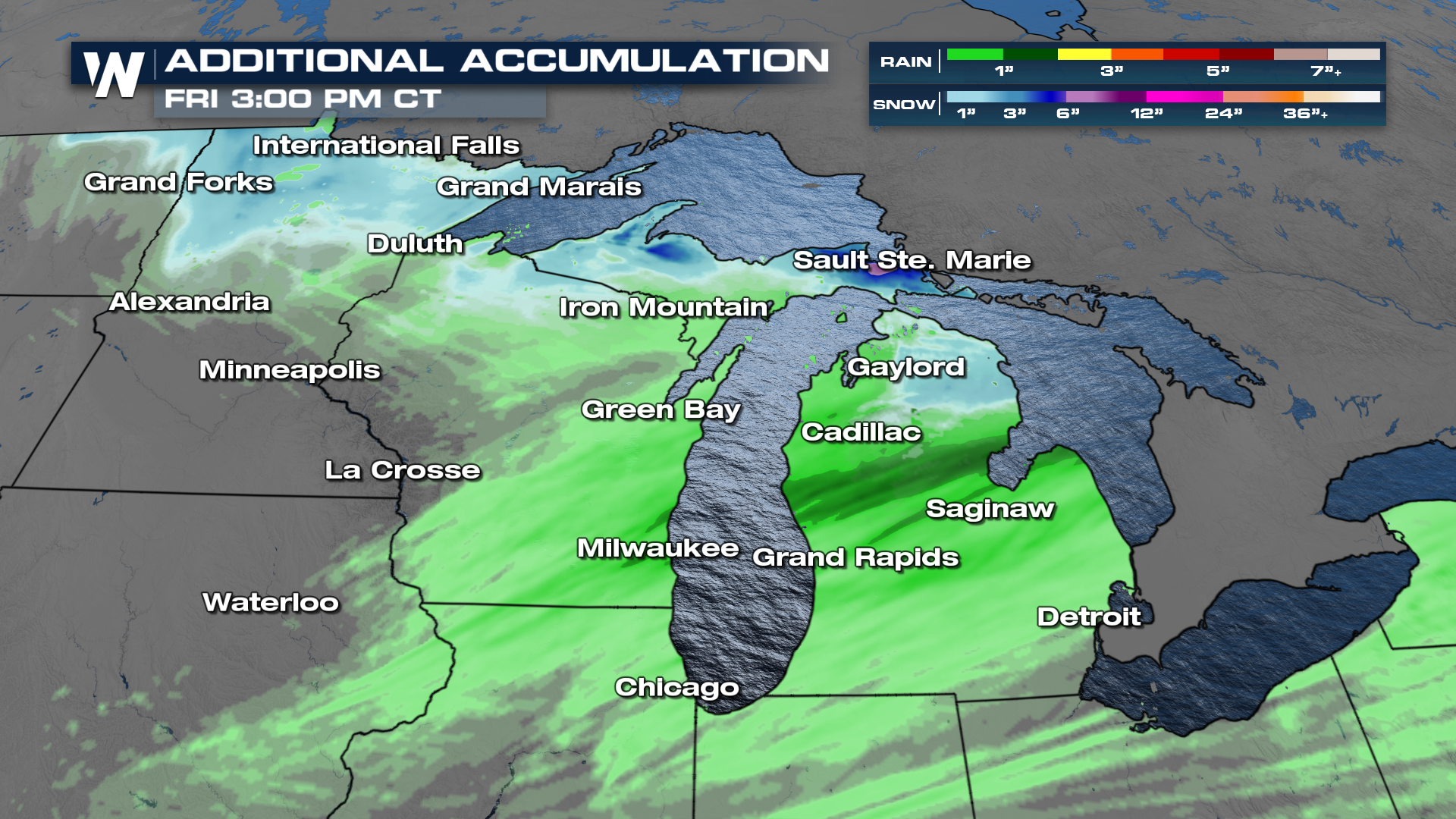
This morning has been messy for portions of northeastern Minnesota, northern Wisconsin, and the Upper Peninsula of Michigan as a system bringing light snowfall and freezing rain moves through. By this afternoon most of the activity will be into the Northeast, but expect a wintery mix through midday with a few lingering snow showers on the backside of the front through Thursday morning.
So how do we know this second round is bringing the threat of ice? Well, we look at the different levels of the atmosphere. In a freezing rain set-up, temperatures at the surface are below freezing allowing for any moisture that comes down to freeze on contact. Just above the surface temperatures are warm enough to support rainfall meaning that the precipitation will be a liquid all the way down to the ground before it freezes on contact.
Ice totals will generally just be a glaze for northern Wisconsin, Minnesota, and Michigan but this is where impacts can be most dangerous. Winds on the backside of the front will be from the north and east, allowing for lake-enhanced snowfall into the arrowhead of Minnesota.