Tropics: Lidia makes Landfall as CAT4
In the Eastern Pacific, Lidia made landfall as a Cat 4 Hurricane on the western coast of Mexico on Tuesday night. Weakening as it moves inland, the storm is still at hurricane status and will bring heavy rain and hurricane force winds through central Mexico. As the storm moves inland, the moisture will work its way toward Texas and into portions of the Gulf. Expect impacts from this moisture to bring in much-needed rain to the portions of the South.
One of the most incredible factors of Lidia was how fast it intensified - Lidia went from a Category 1 to a Category 4 storm in under 10 hours on Tuesday, October 10th.
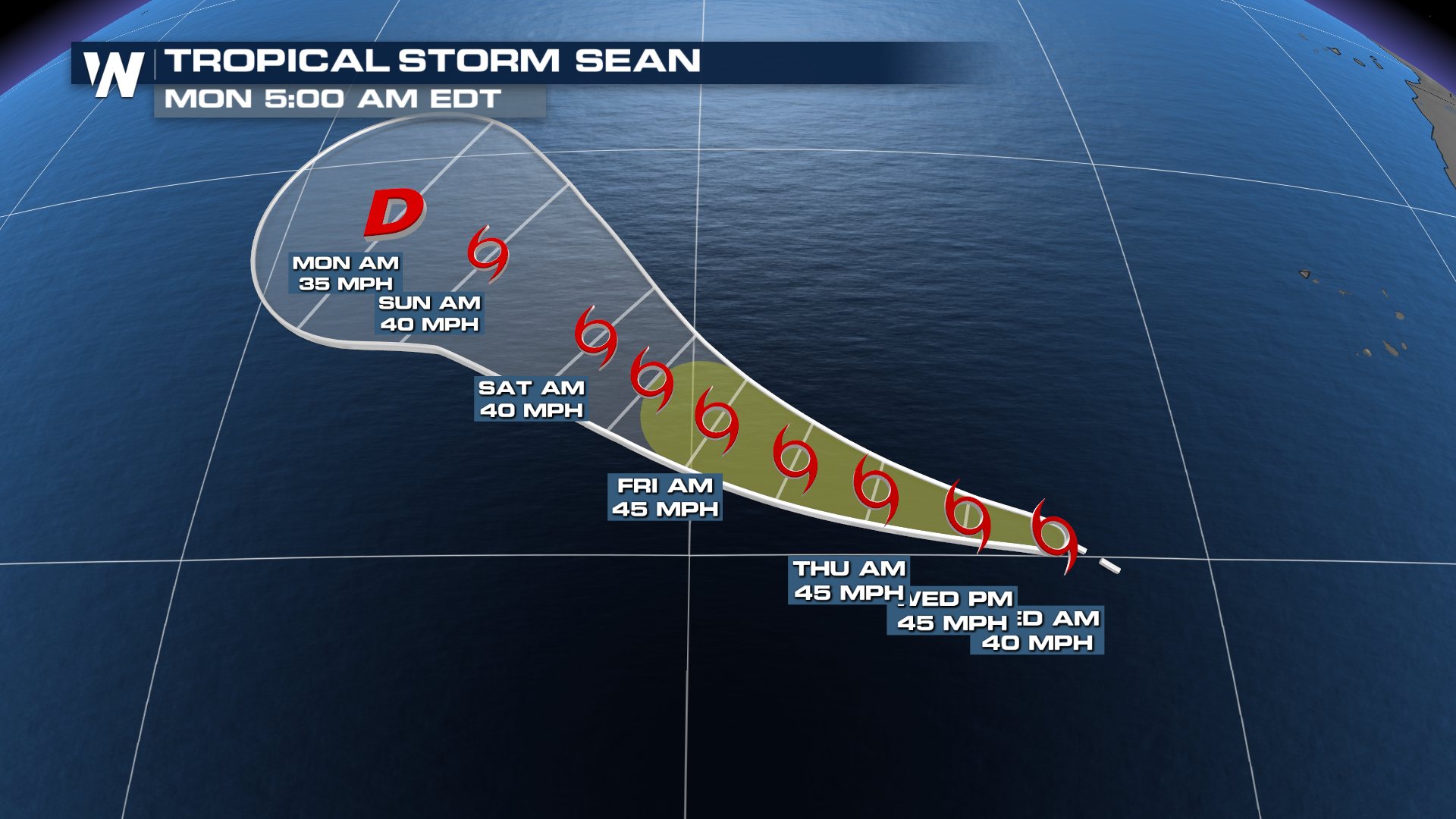
Tropical Storm Sean formed early Wednesday morning and this storm will continue to move west and northwest over the Atlantic Waters with no impact to land. This will be a true "fish storm" with the center staying far away from the Caribbean.
 We still have about a sixth of the hurricane season left, which doesn't sound like much, but we've had some pretty noteworthy hurricanes in the month of October. That said, keep your guard up during the next three weeks just in case one of these storms decides to tap into the warm Gulf or Caribbean waters. We'll keep you updated on the tropics daily.