A New Area to Monitor in the Atlantic

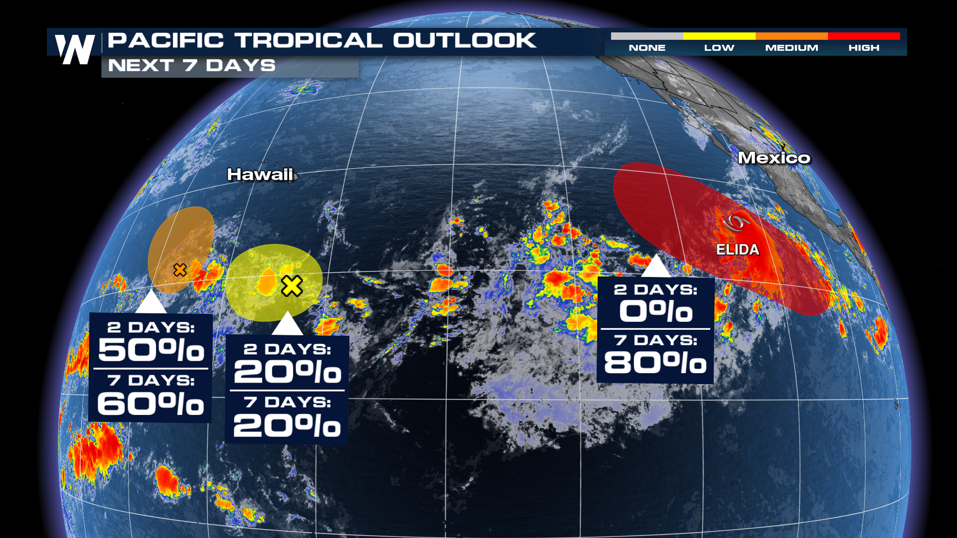
One area of SIX that we're monitoring in the Atlantic and Pacific! SIX! The area closest to home is obviously the most of interesting so we'll start there
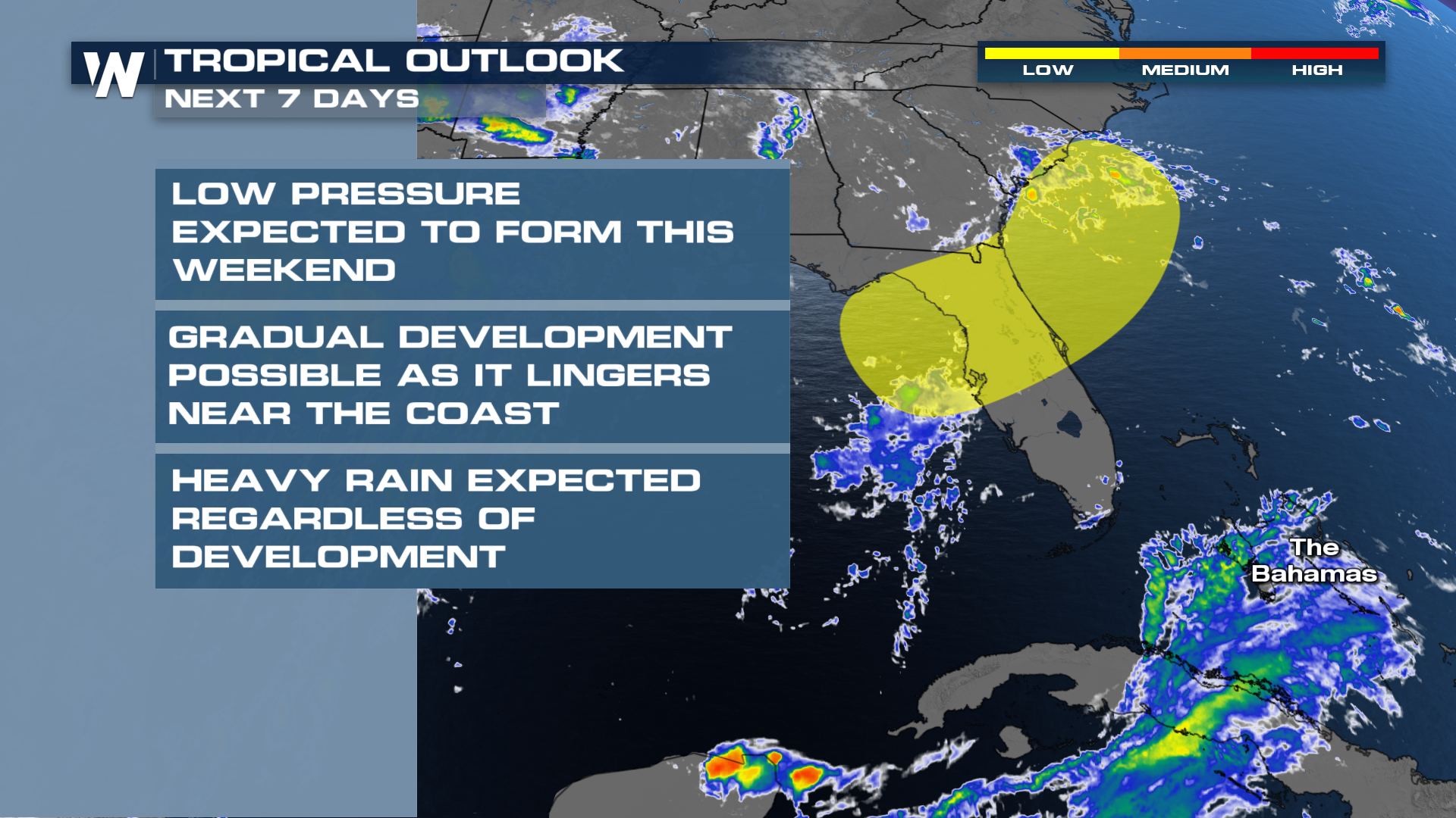 At this point, nothing is imminent, but some models are hinting at gradual development. It's a bit of a sloppy setup, with a stationary boundary in the area now, giving way to a Tropical Upper Tropospheric Trough (TUTT). Timeframe looks like the early-to-middle part of next week.
TROPICAL STORM ELIDA
We have our most recent named system, Elida! It earned a name early Wednesday morning as the area of low pressure finally closed off.
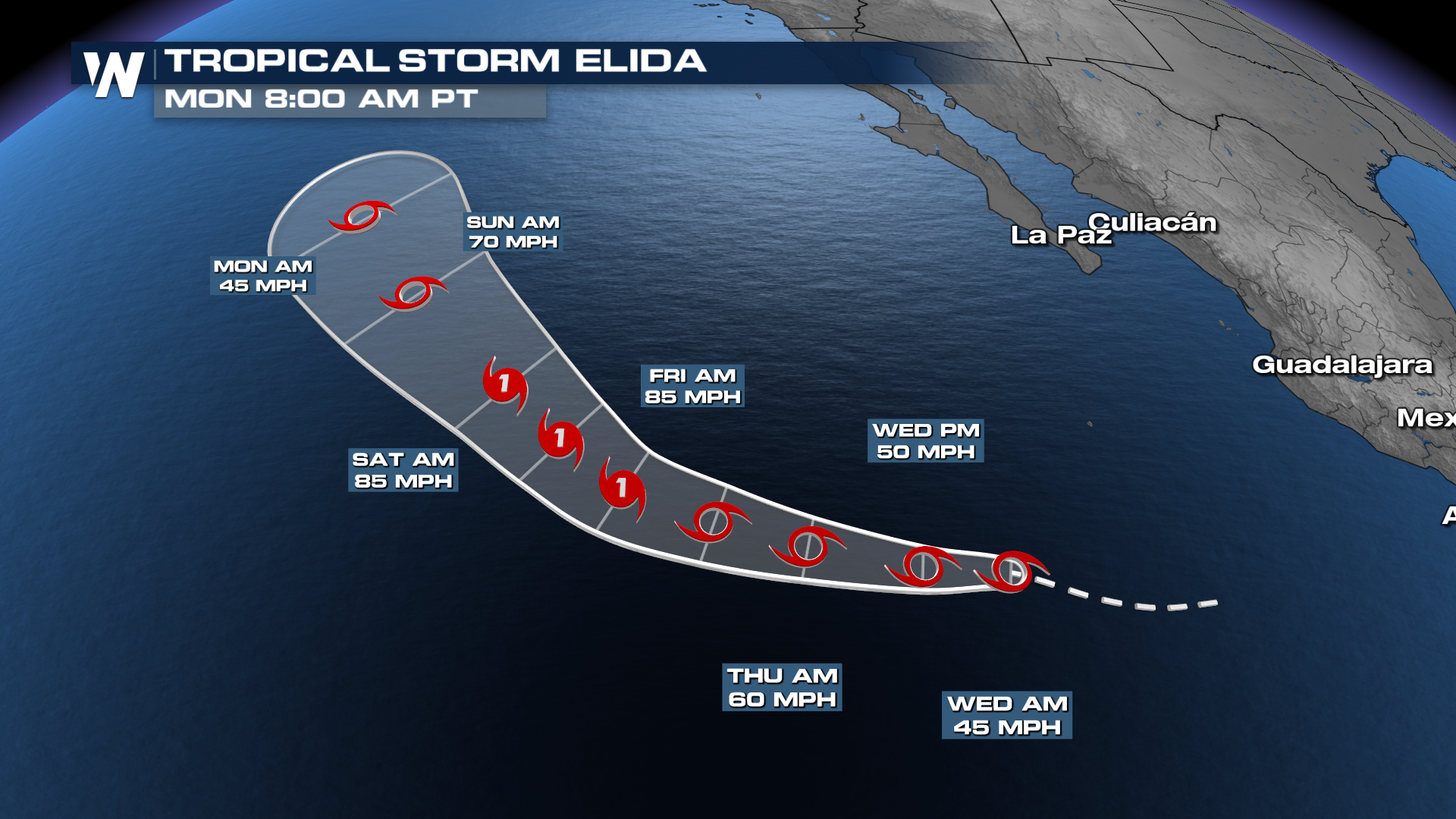
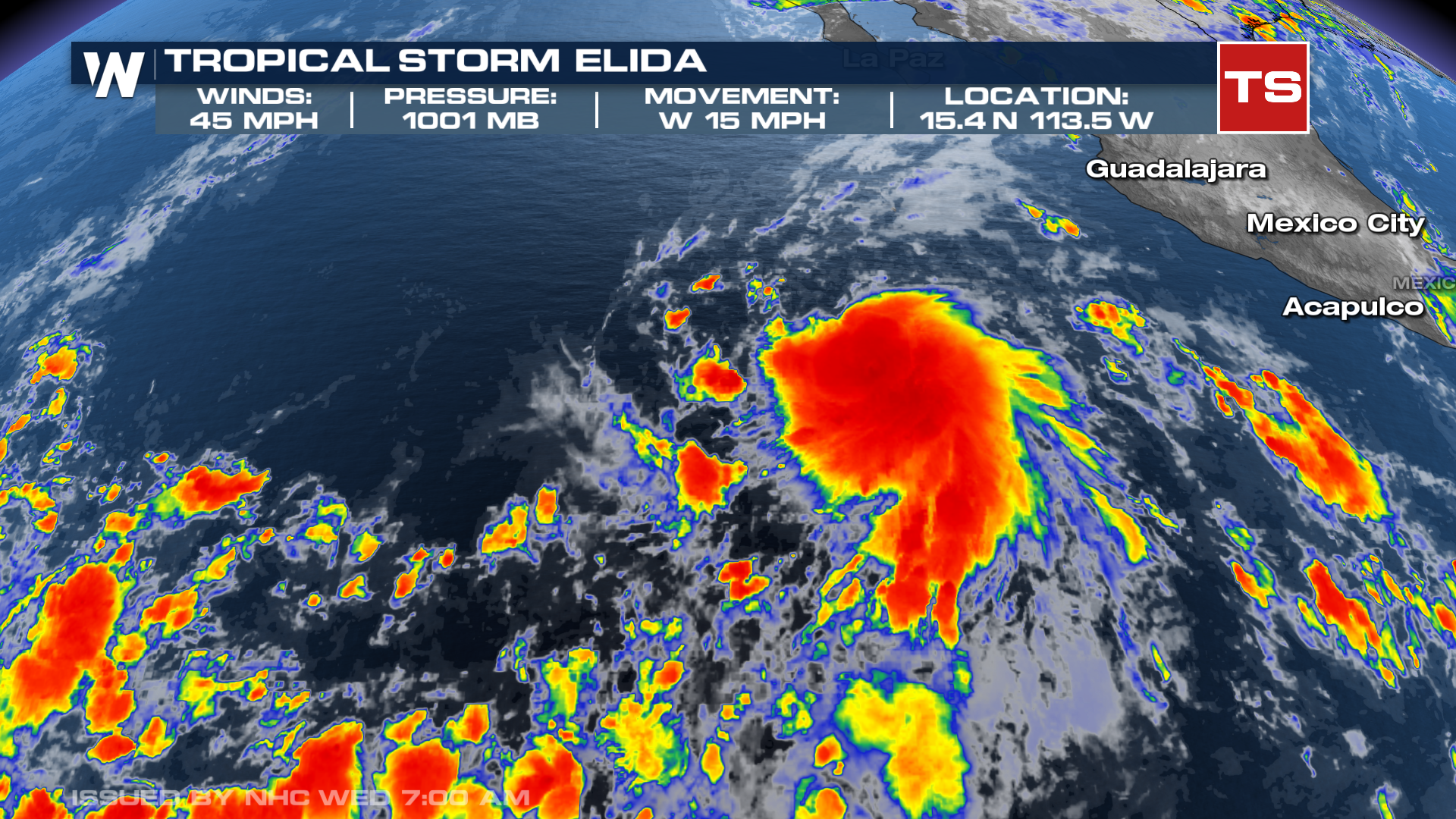 This isn't expected to impact land, but could become the first hurricane of the season!
 There are three other areas to monitor in the Pacific Ocean. One looks like it will form sometime early next week, in the footsteps of Elida. The other two are potentially forming south of Hawaii. Both of those will stay south of the islands, but could bring some indirect impacts like elevated trade winds or waves.