Monsoon Moisture Brings Weekend Flood Threat

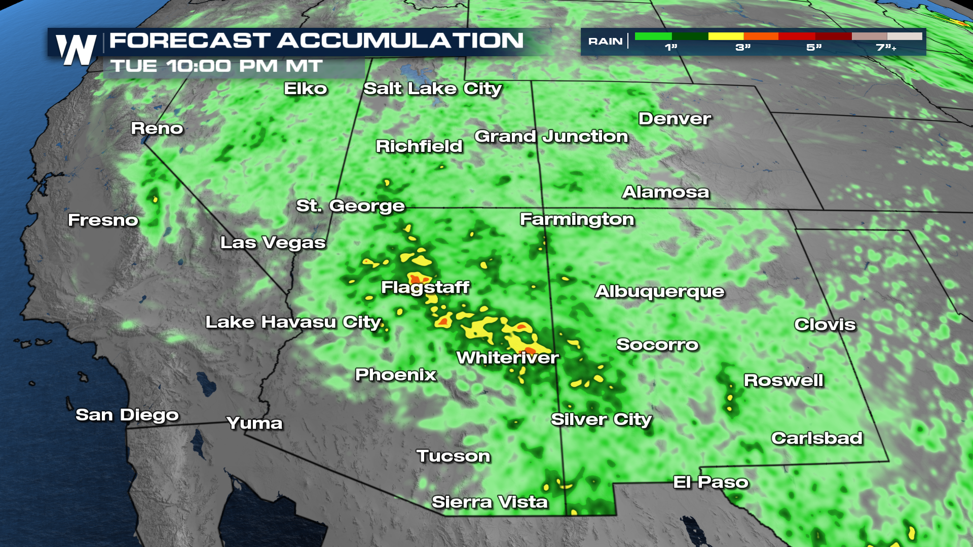
The monsoon has returned to the southwestern United States. This shift in the overall weather pattern is allowing deeper moisture to move north from the Pacific and Gulf, setting the stage for a daily chance of showers and thunderstorms across parts of Arizona, New Mexico, southern Utah, southern Colorado, and Nevada.
The North American monsoon is a seasonal wind shift that occurs each summer, transporting moisture from the eastern Pacific Ocean and Gulf of California into the Desert Southwest. As the moist air combines with intense daytime heating and mountainous terrain, thunderstorms become much more common during the afternoon and evening hours.
This surge of monsoonal moisture is expected to increase storm coverage through the coming days. While many of these storms will produce beneficial rainfall for areas experiencing drought, they will also be capable of dropping heavy rain over a short period of time. Because the Southwest’s dry soils do not absorb water efficiently, runoff can develop quickly, creating a heightened risk of flash flooding in washes, slot canyons, and other low-lying locations.
As the monsoon continues to strengthen through July, residents and visitors across the Southwest should be prepared for rapidly changing weather conditions each afternoon. Even short-lived storms can produce dangerous flash flooding, making it important to avoid flooded roadways and never enter fast-moving water.


