A Very Mild Alaska Prepares for Further Rain and Snow

While the Lower 48 has felt the impacts of repeated intrusions of arctic air, the state of Alaska has been very mild with numerous record-breaking warmth over the recent weeks. On Friday, widespread record highs were noted, including the city of Utqiagvik on the shores of the Arctic Ocean rising above freezing for the first time on record for the day (see above). The pattern lately has been favoring a strong upper-level ridge over the North Pacific. This ridge has also been responsible for keeping the Pacific Northwest dry for many of the past few weeks.

While this setup has kept things mild for the 49th state, we are also seeing repeated systems moving in from the south, bringing abundant moisture to the area. Widespread winter alerts have been issued across the state, with a notable exception being the city of Anchorage. Here, temperatures look to remain too warm for accumulating snow!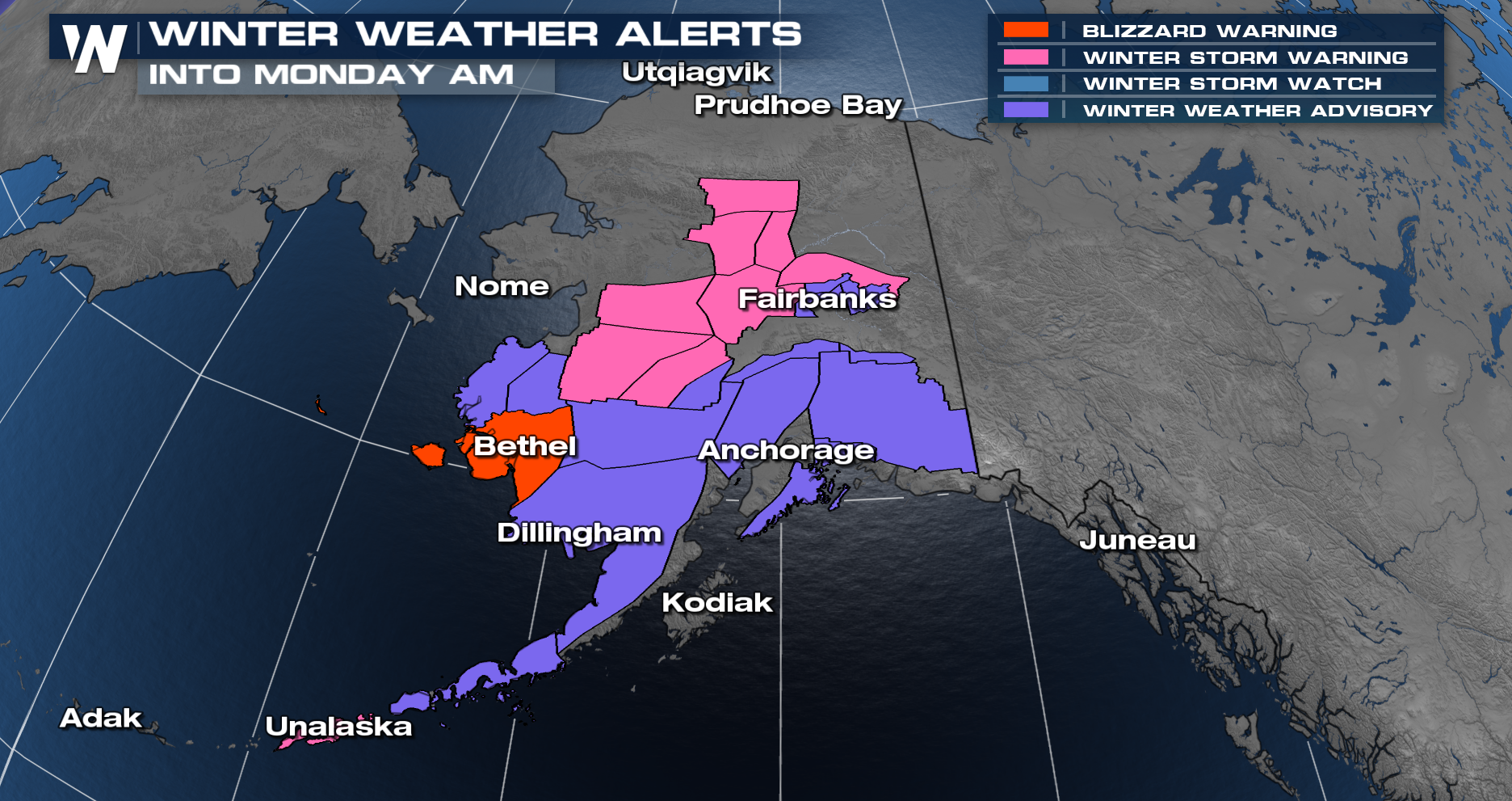

Anchorage does remain under High Wind Warnings and Flood Watches/Warnings, however, as rain and snow are expected to persist into the upcoming week.


Cooler temperatures will return to Anchorage later this week.


