More Homes Succumb to the Atlantic Ocean

NORTH CAROLINA - These abandoned houses were no match for the powerful swells generated by Humberto and Imelda, which brought high surf, flooding, and heavy rain to the Outer Banks. It is believed that up to 8 homes have succumbed to the Atlantic Ocean in the last few days.
Up until last Tuesday, 12 homes had been swept away into the Atlantic in the Outer Banks since 2020. Why are so many homes being swept away, you may ask? In many cases, what protected a house decades ago is no longer sufficient because the shore has receded, sea levels are higher, and strong storms have been more frequent or powerful.
Coastal Impacts
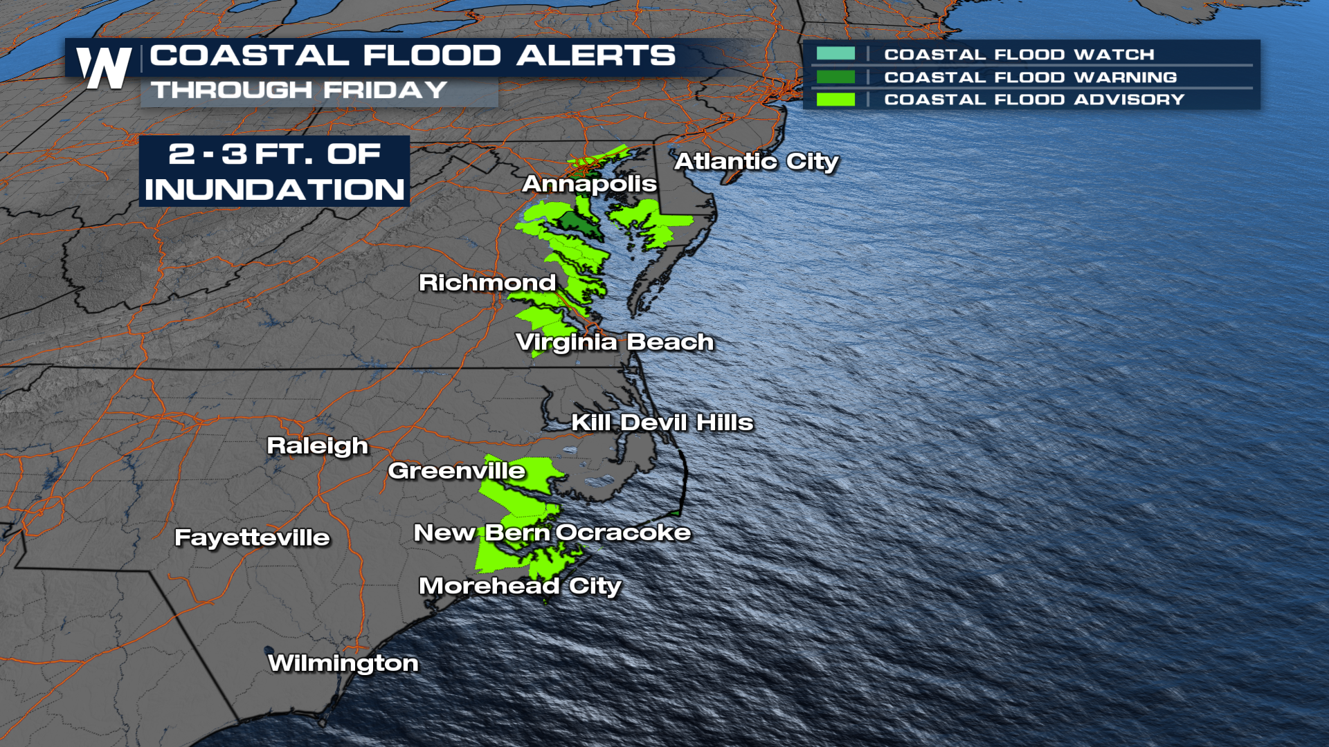
Humberto and Imelda dissipated in the Atlantic, but dangerous swells will still be likely in their wake. Coastal flooding alerts across the East Coast remain in place through Friday.
For a detailed forecast on Imelda, read this related article: Imelda Strengthens Ahead of Impacting Bermuda.


