Next Round of Severe Storms Wednesday & Thursday
Special Stories
29 Jul 2020 5:00 AM
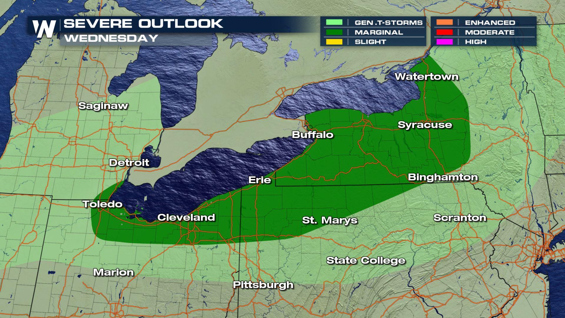
The Storm Prediction Center has parts of the Great Lakes states under a marginal risk (level 1 on a scale of 1 to 5) for severe storms today as another cold front moves into the region. This will mainly impact areas along both Lake Erie and Lake Ontario.
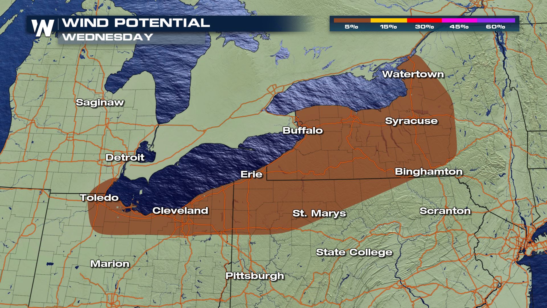
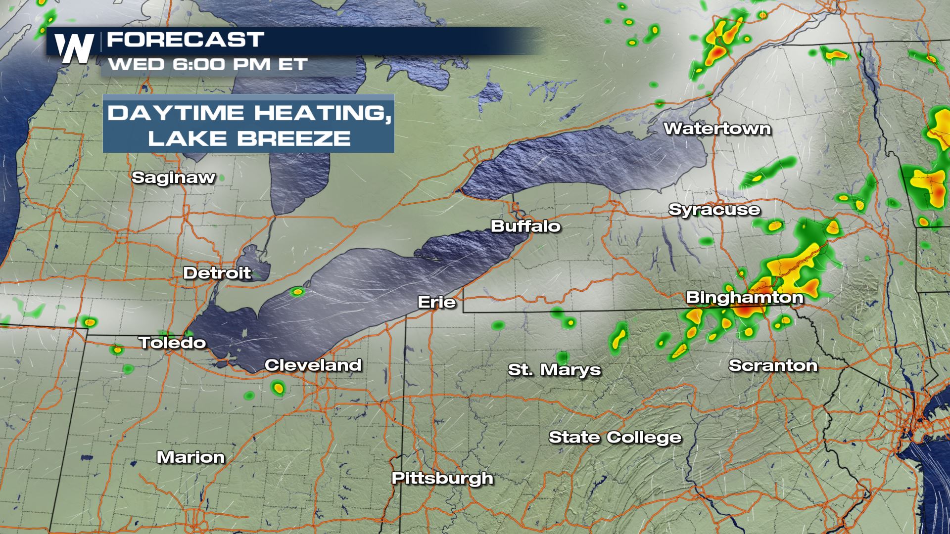
 The primary threat will be damaging wind gusts with storms that develop from Cleveland to Syracuse.
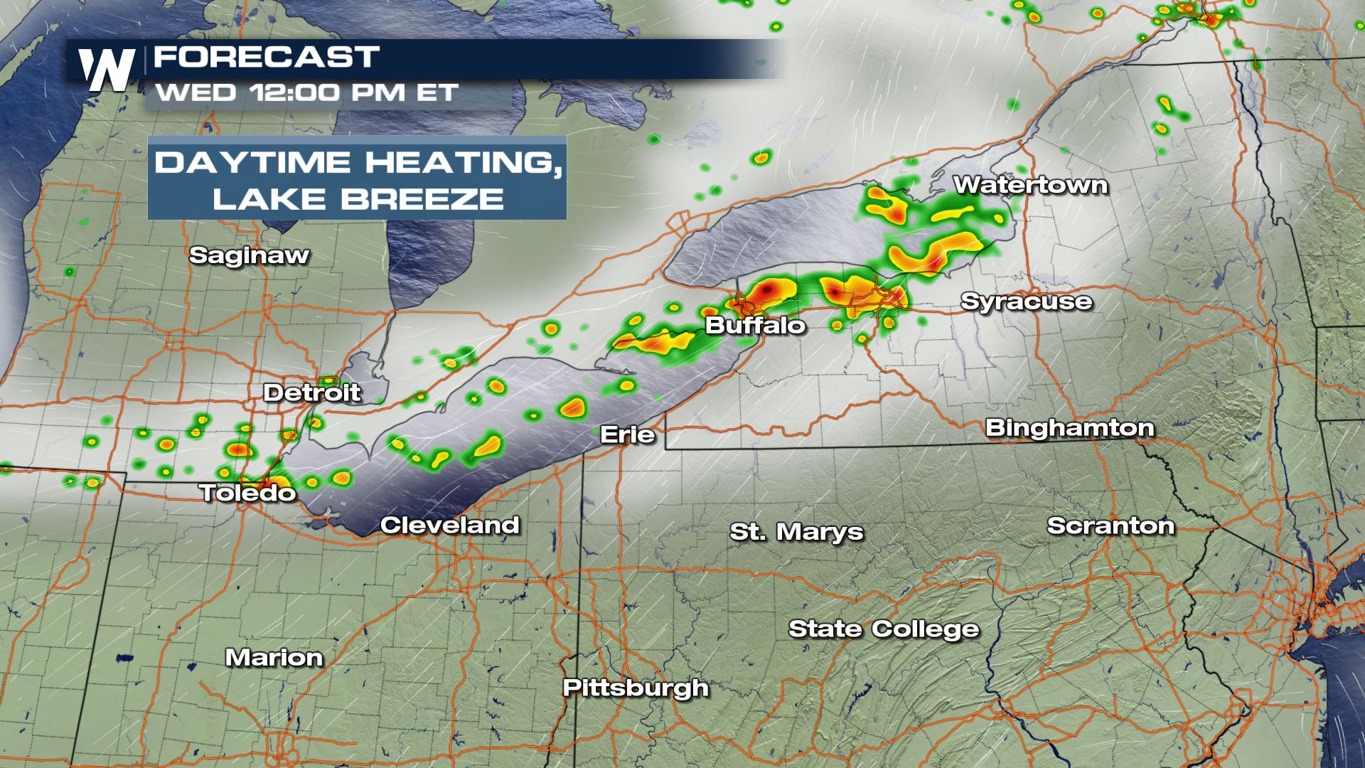
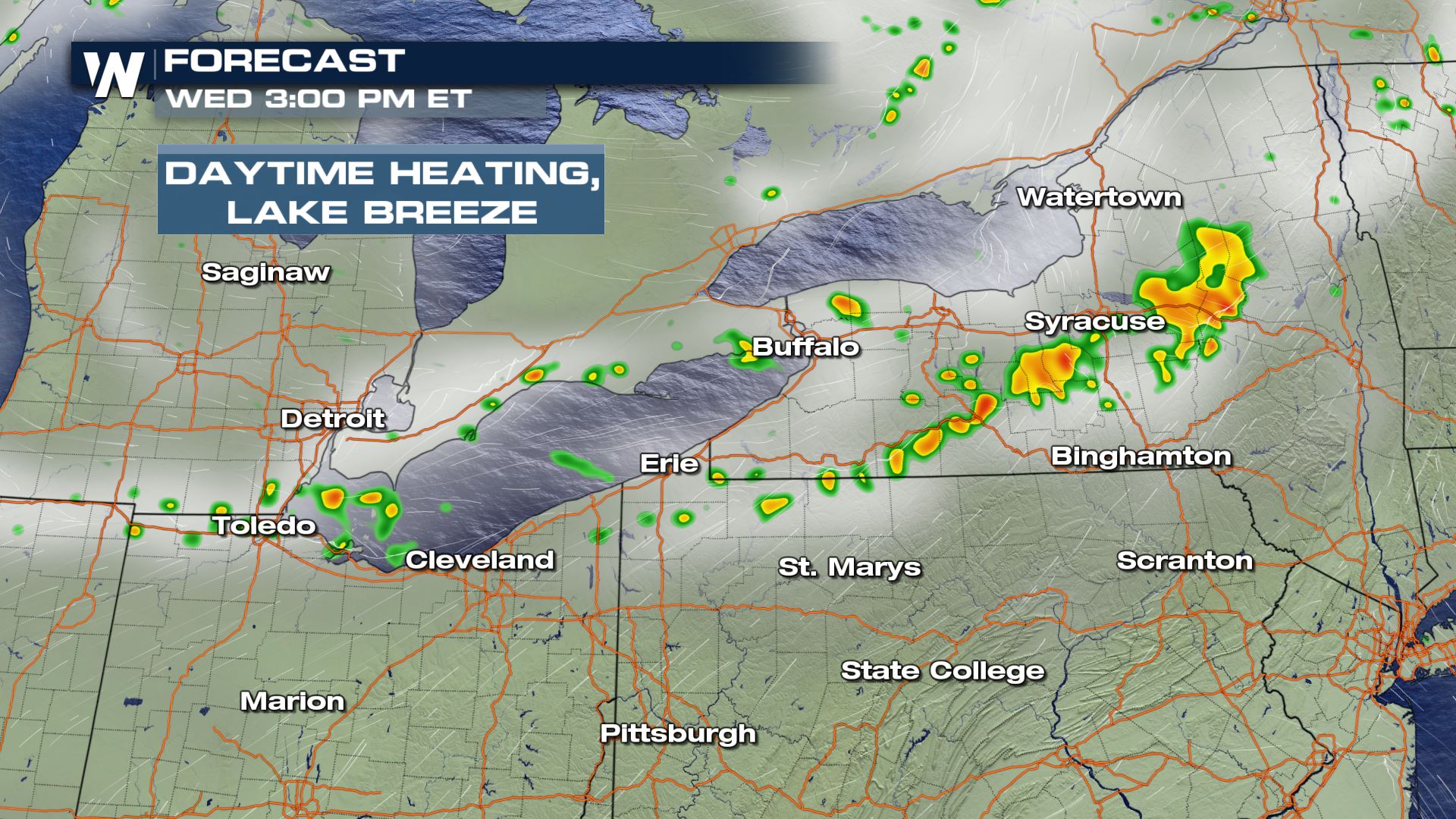
 Storms will be strongest along the leading edge of the cold front. Daytime heating will also drive some of those strong updrafts that create and sustain thunderstorms. These storms are expected during the afternoon and continue into the evening (Wednesday). The images below show our model guidance with these storms:
 Here is the latest track based on model guidance:
 WeatherNation will keep you up-to-date on the severe potential in the Northeast. Check back with us on-air and online for updates.
The primary threat will be damaging wind gusts with storms that develop from Cleveland to Syracuse.
Storms will be strongest along the leading edge of the cold front. Daytime heating will also drive some of those strong updrafts that create and sustain thunderstorms. These storms are expected during the afternoon and continue into the evening (Wednesday). The images below show our model guidance with these storms:
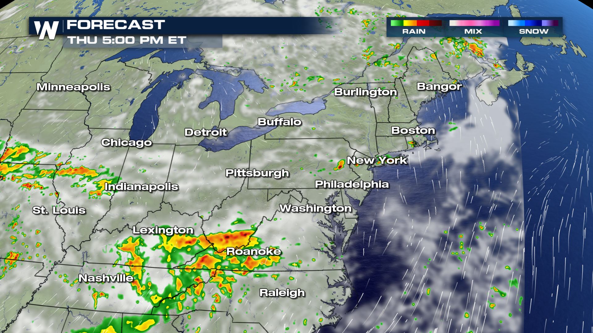
Thursday
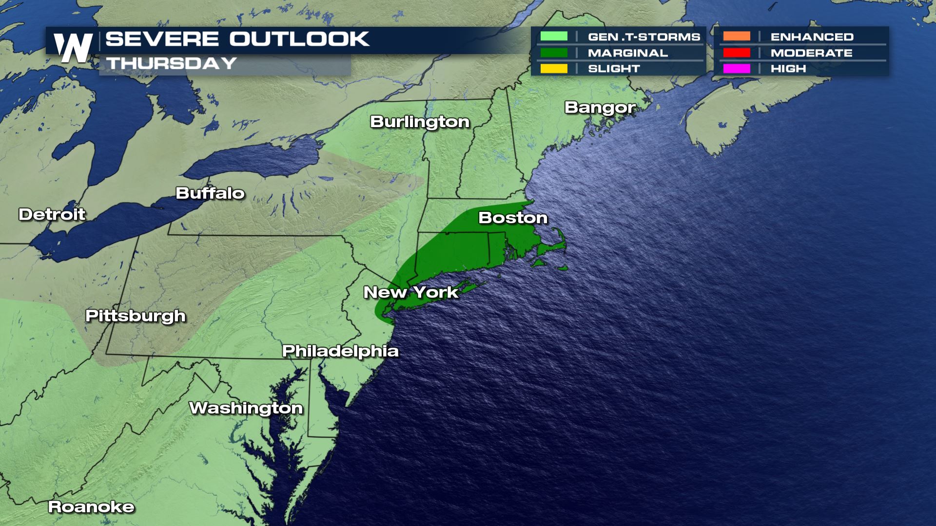
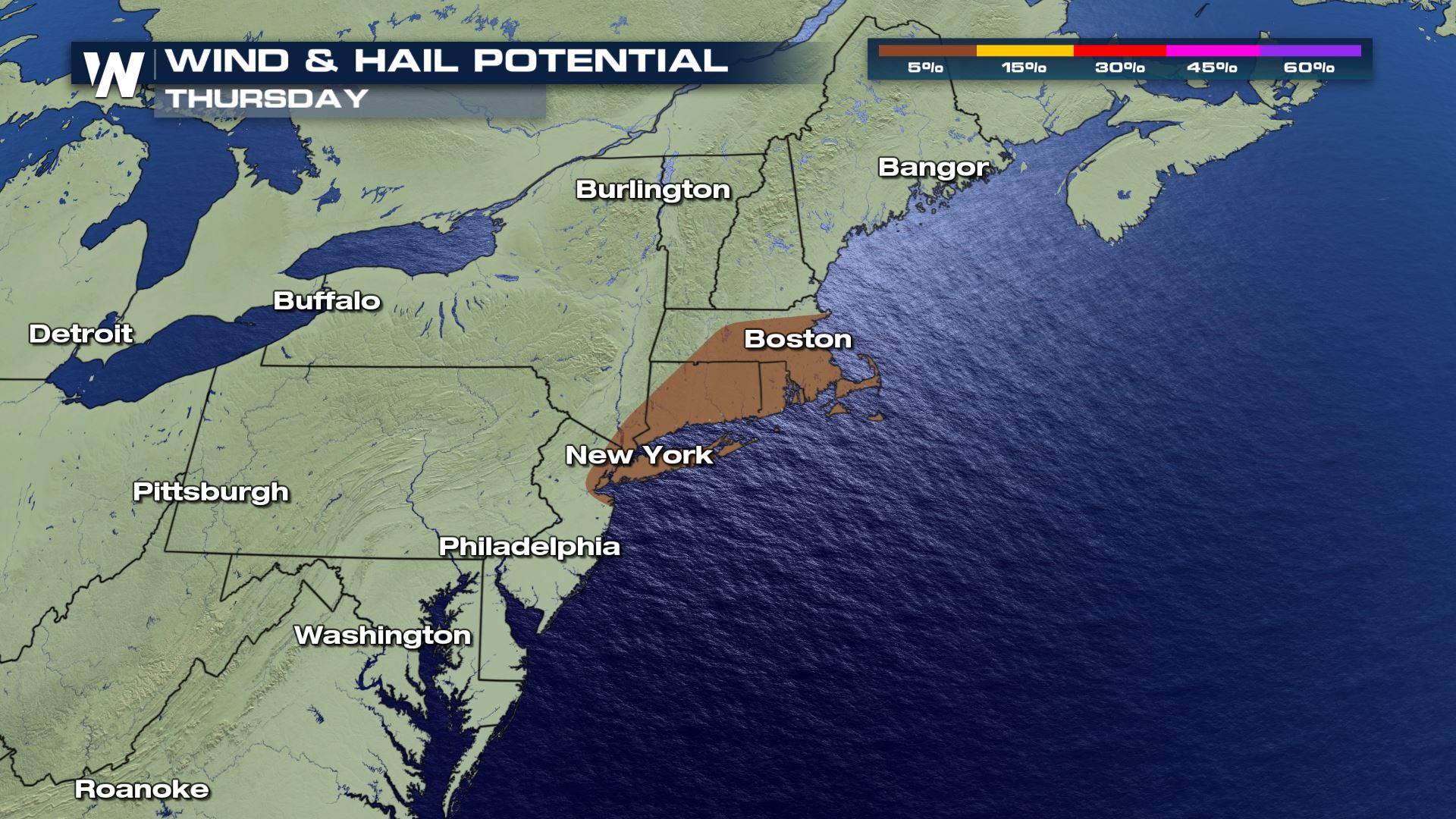
On Thursday, the severe threat will shift into New England, with cities such as Boston, Hartford, and New York City under a risk for isolated storms capable of damaging winds and large hail.
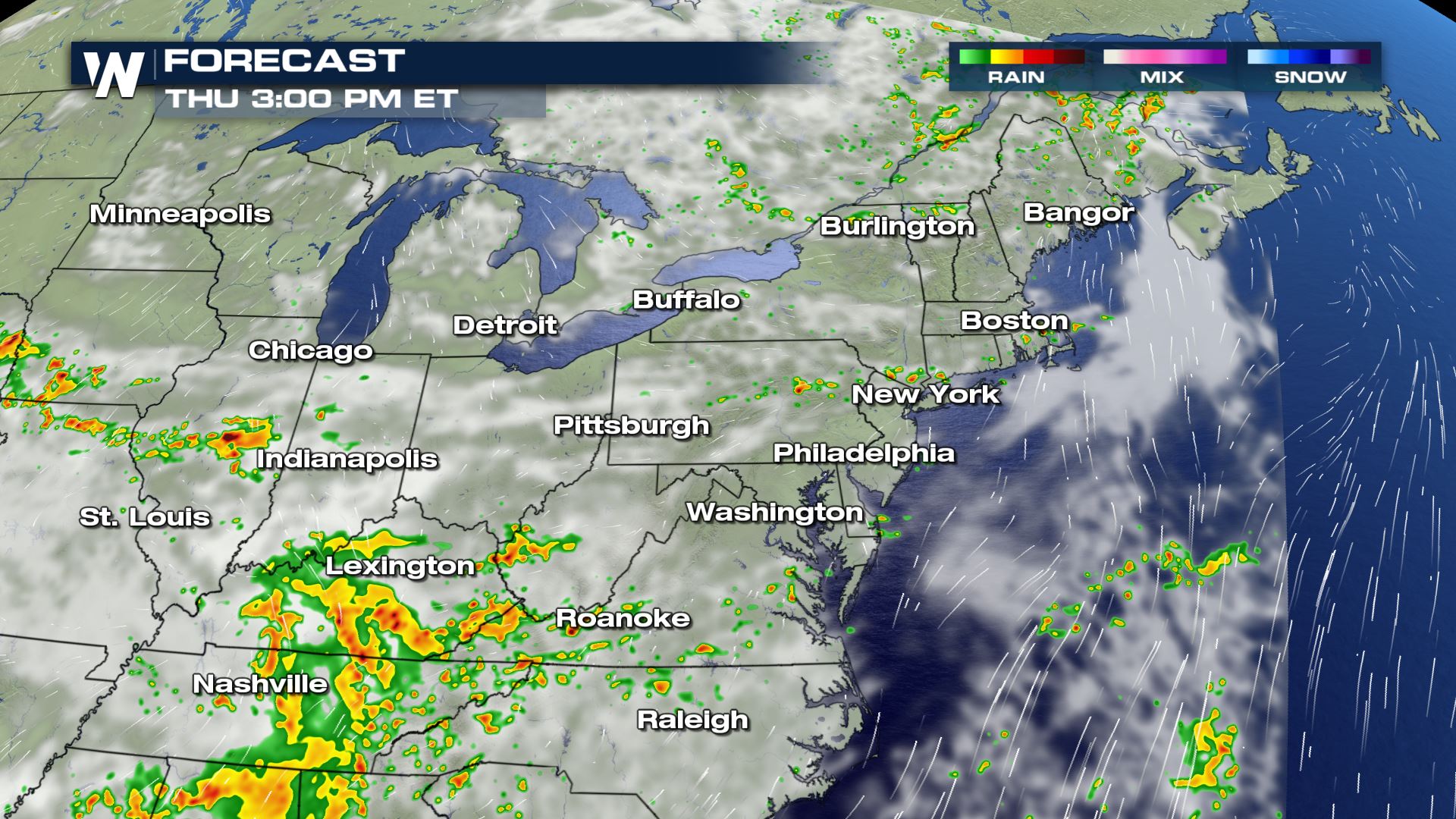
Here is the latest track based on model guidance:
WeatherNation will keep you up-to-date on the severe potential in the Northeast. Check back with us on-air and online for updates.All Weather News
More
East Gears Up for Stormy, Wet Weekend
A low pressure system crashing through the Mi
1 Aug 2026 11:35 AM


Flooding, Severe Storms Target the Midwest Again
After an active week of storms across the nor
1 Aug 2026 1:40 AM


After Reaching Category 5, Genevieve Weakens in the Pacific
PacificFausto is now a post-tropical cyclone.
31 Jul 2026 1:30 AM

Flooding Risk Increases as Heavy Rain Targets the Tri-State Area
Tuesday, heavy rainfall moved across the Nort
30 Jul 2026 12:25 AM

Severe Weather: Energy From the Midwest Now in the Southeast
UPPER MIDWEST - Through Monday, dangerous tor
29 Jul 2026 10:30 PM