Confirmed Tornado Warning in Cleveland Tuesday Afternoon
A train of low-pressure systems produced strong to severe thunderstorms the last few days across the East Coast. On Monday, waterspouts were coming off Lake Ontario, and a storm strong enough to produce a TORNADO was reported in Buffalo, NY. The National Weather Service in Buffalo rated this an EF-1 with winds of 90 mph. On Tuesday, a tornado was reported in the Cleveland area.
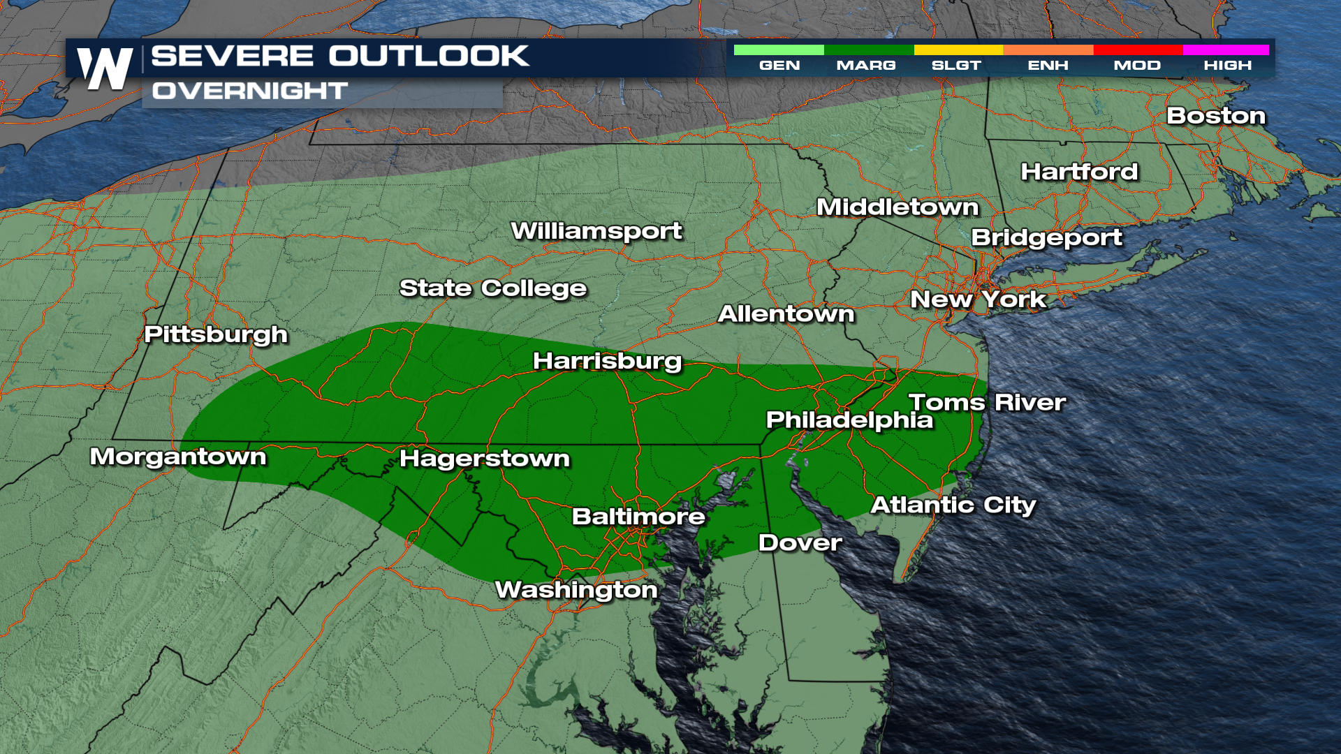
Additional storms will linger through the Mid-Atlantic states overnight with continuing chances for severe weather. The SPC has issued a Level 1 Marginal Risk for portions of Pennsylvania, Maryland, Delaware, and New Jersey.
 Earlier on Tuesday, the National Weather Service issued a confirmed tornado warning just outside of the Cleveland Metro.
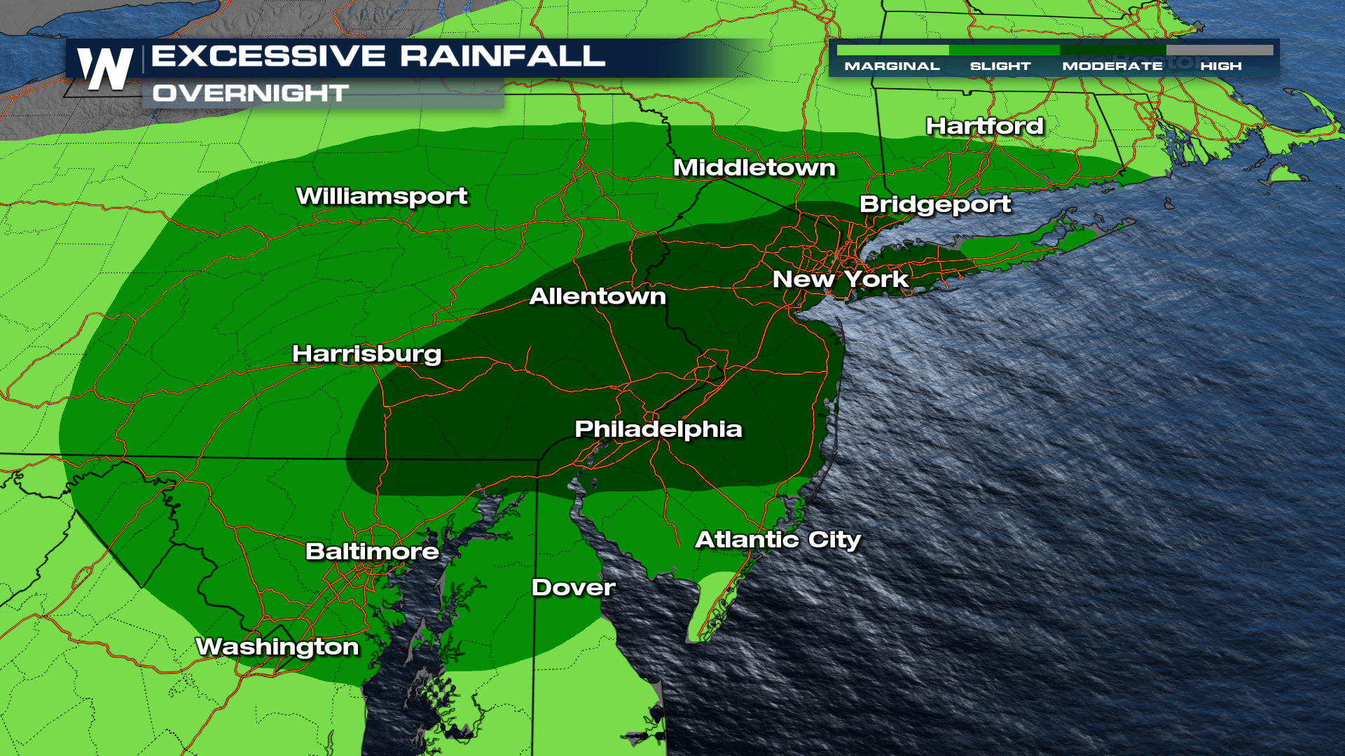
Although the tornadic risk has decreased overnight, flooding will remain a concern.
Flooding will be a significant risk in eastern Pennsylvania, New Jersey, and New York. Flooding will pose at least a level 2 risk (scattered flooding), with the level 3 risk including Philadelphia and New York City. This will be in advance of Debby's rainfall from the south and will warrant keeping an eye on the flooding risk through the end of the week.
