Merry-Go-Round Of Low Pressures Bring Precipitation
Top Stories
10 Jan 2022 5:30 PM
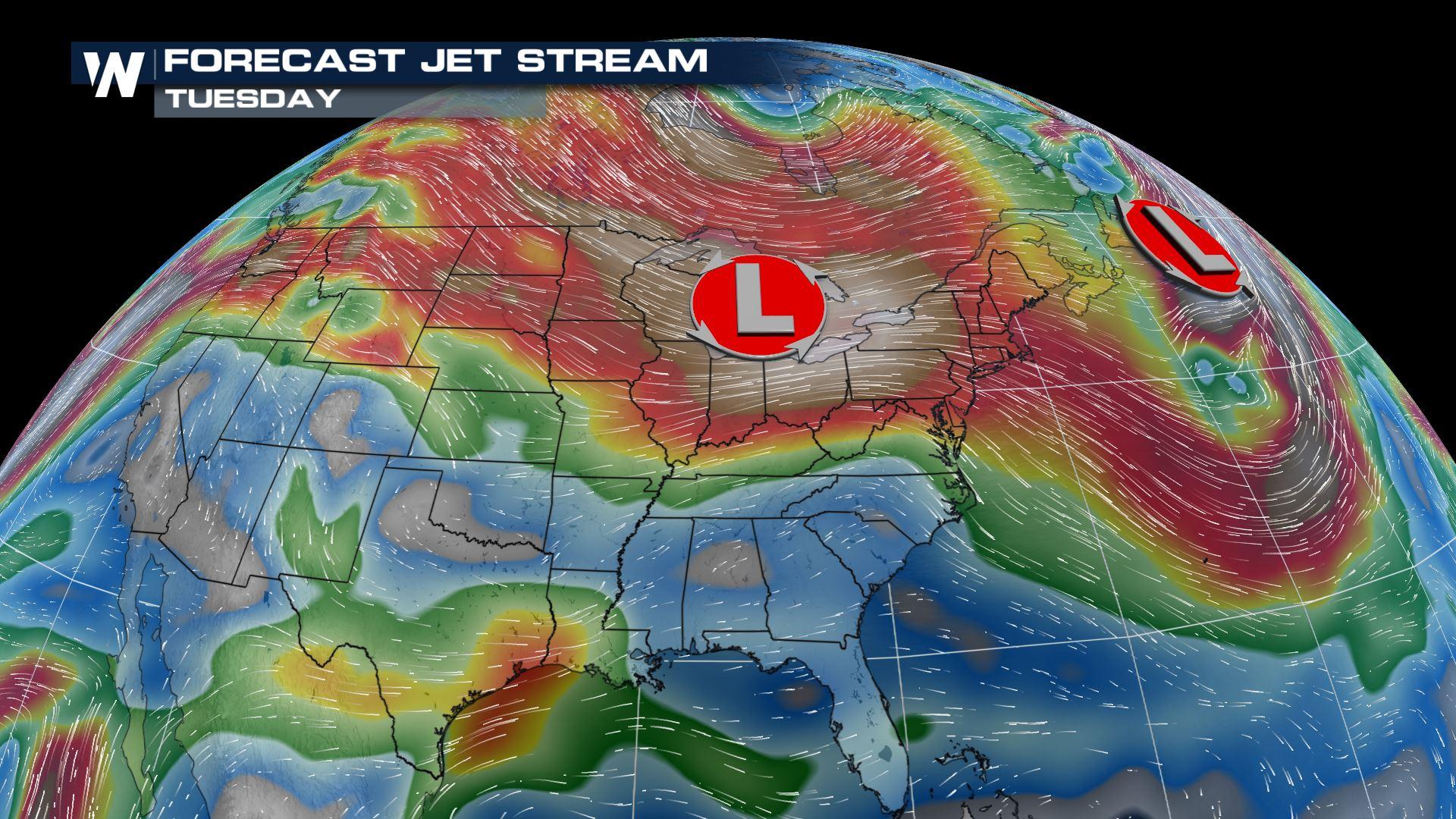
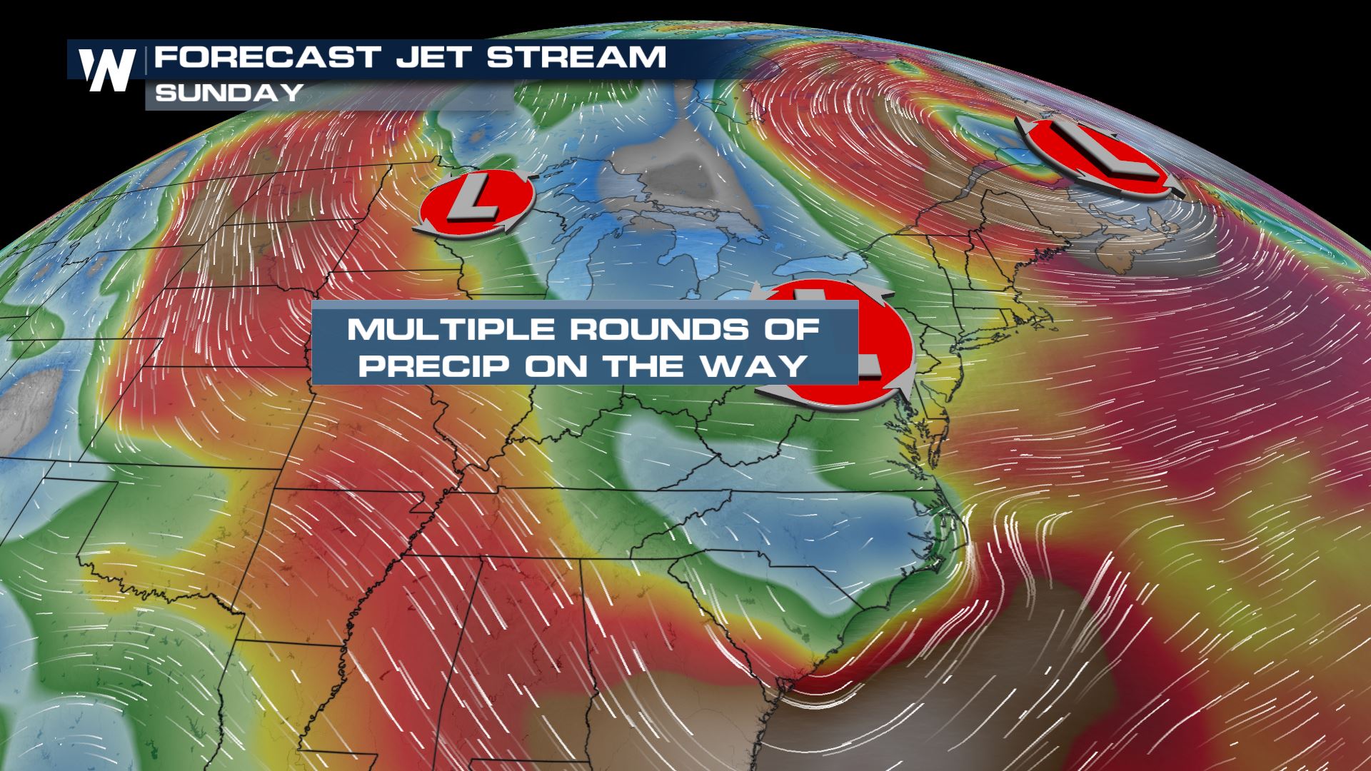
As we head into the rest of the work week, a merry-go-round of low pressure systems will bring in quick bursts of snow from the High Plains to the Midwest to the Northeast.
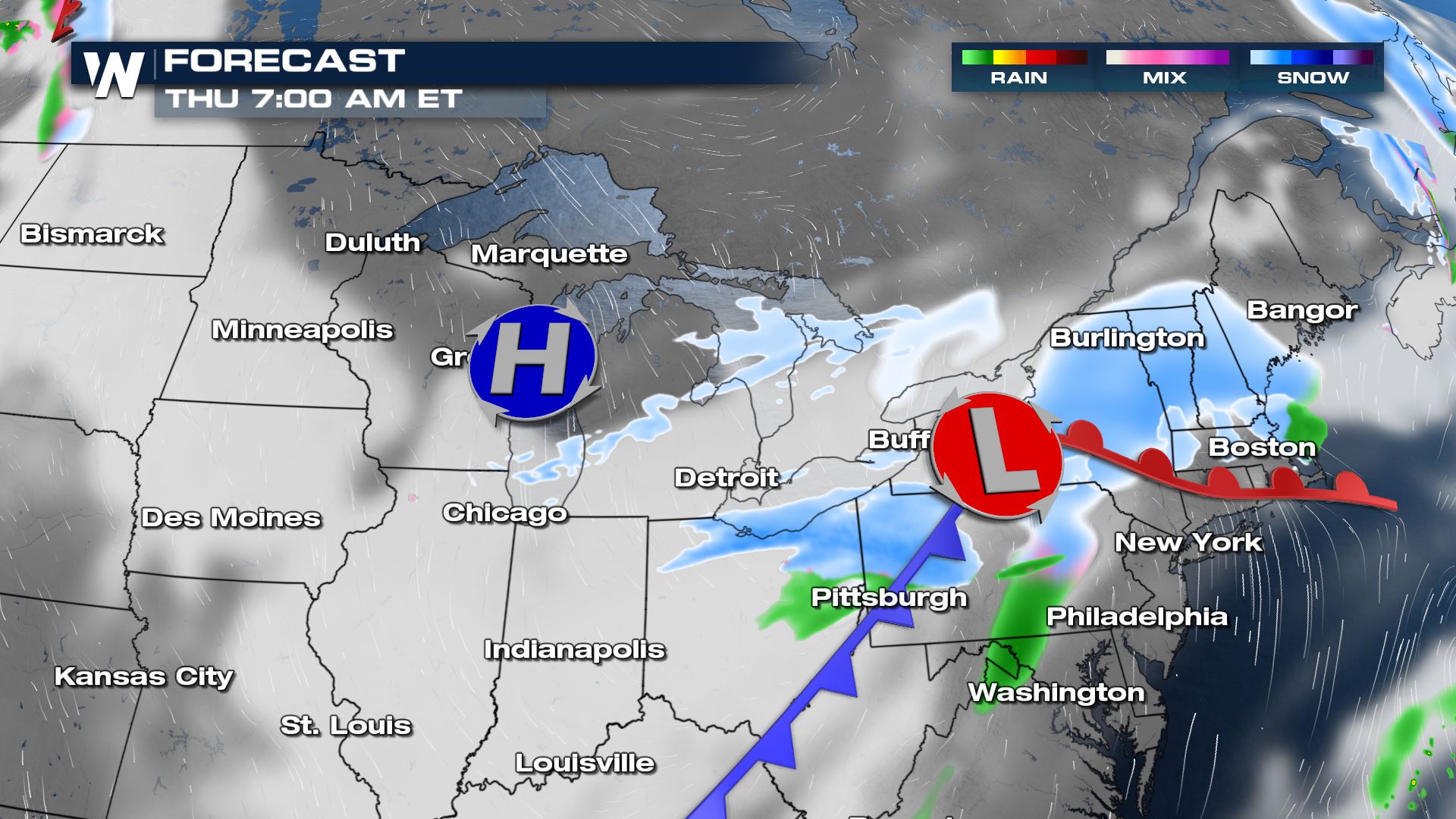
 By Thursday morning, New England is looking ahead to some light to moderate snowfall.
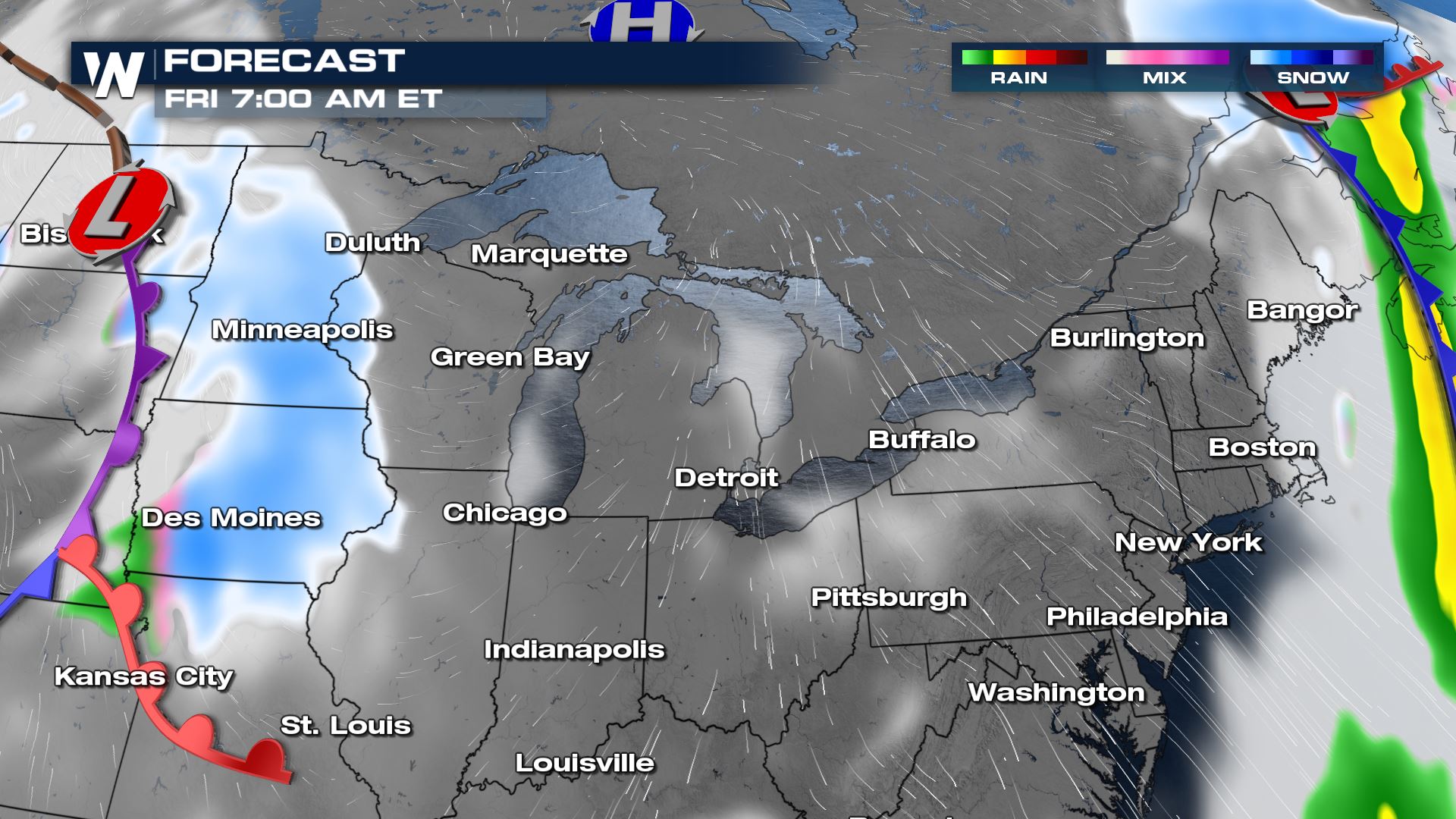
 By Friday morning, another round of snowfall moves into Minneapolis to Des Moines.
Tune in to WeatherNation throughout the hour for more updates!
Forecast Timing
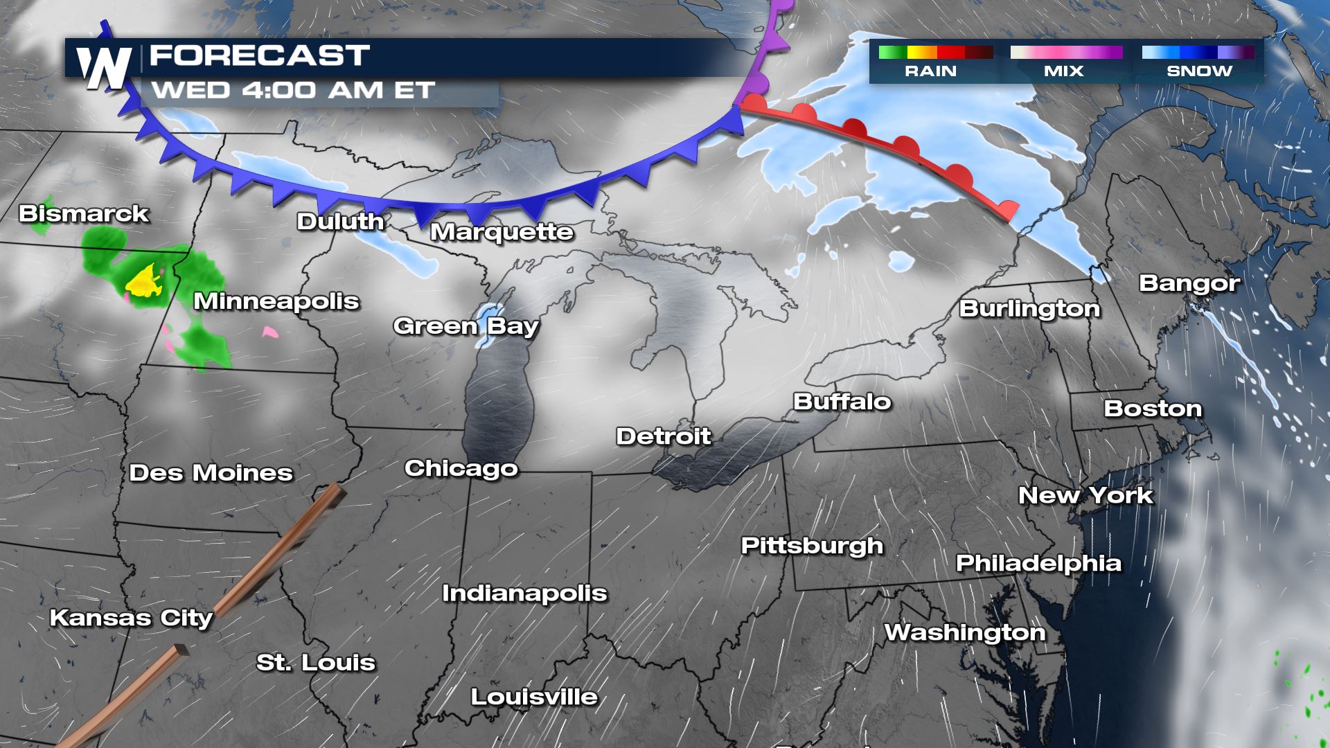
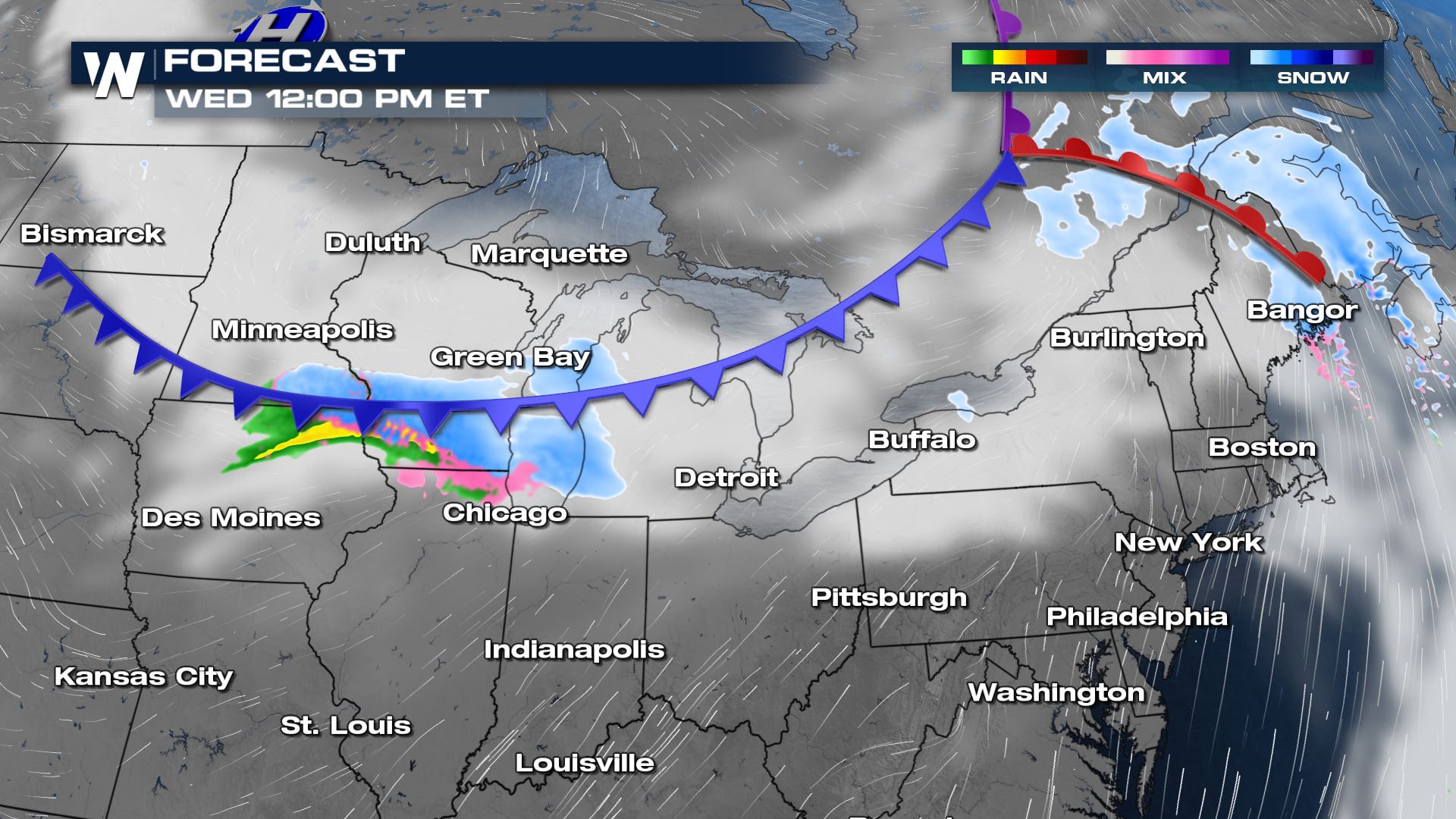
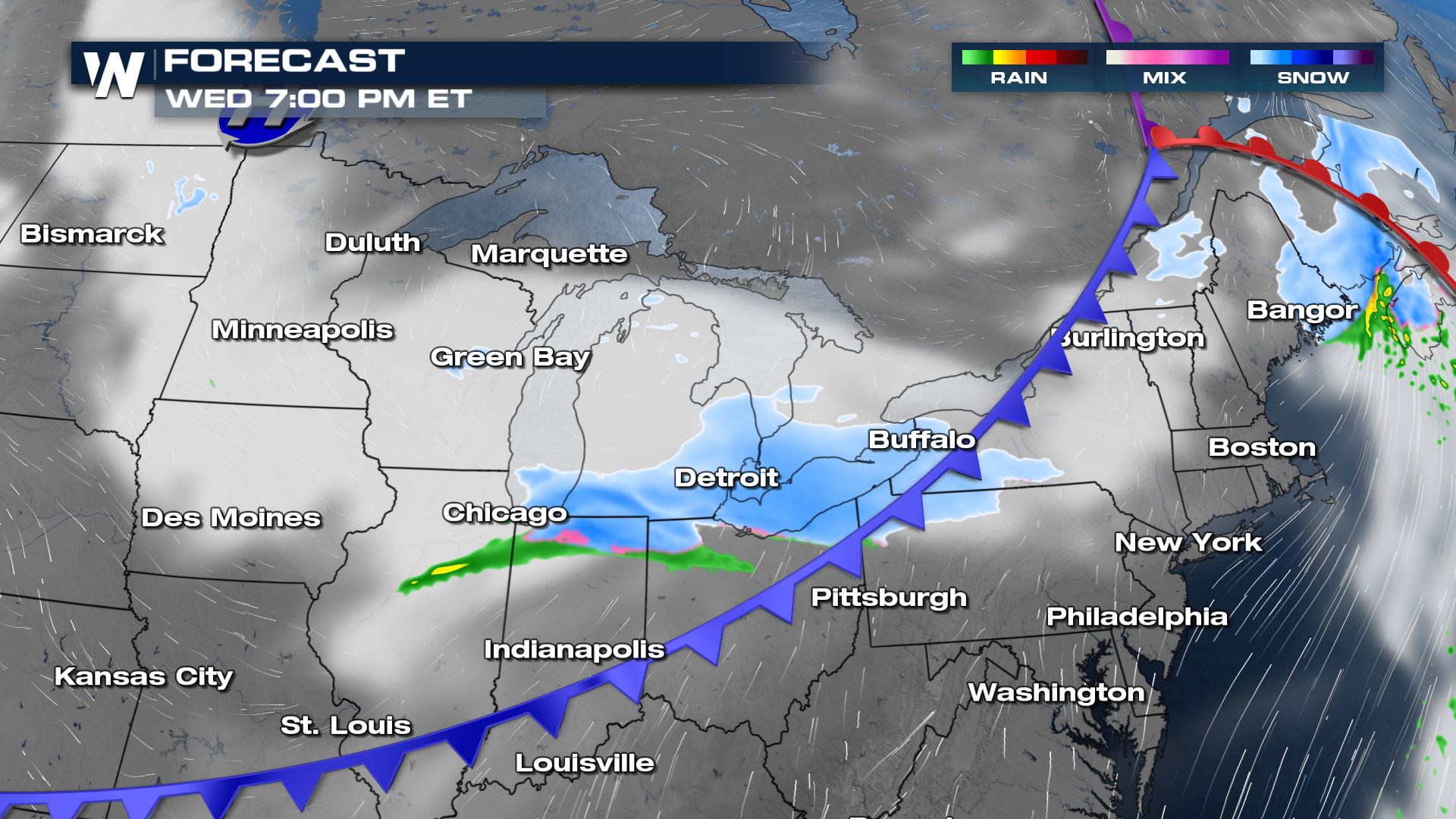
This first round is not set to bring heavy precipitation. A frontal boundary moves in by Wednesday for the north central region brining areas of rain and snow accumulation.
By Thursday morning, New England is looking ahead to some light to moderate snowfall.
By Friday morning, another round of snowfall moves into Minneapolis to Des Moines.
Forecast Accumulation
The heaviest of the snowfall accumulating through Friday morning looks to be surrounding New England states. New York through Maine could see a few inches of accumulation.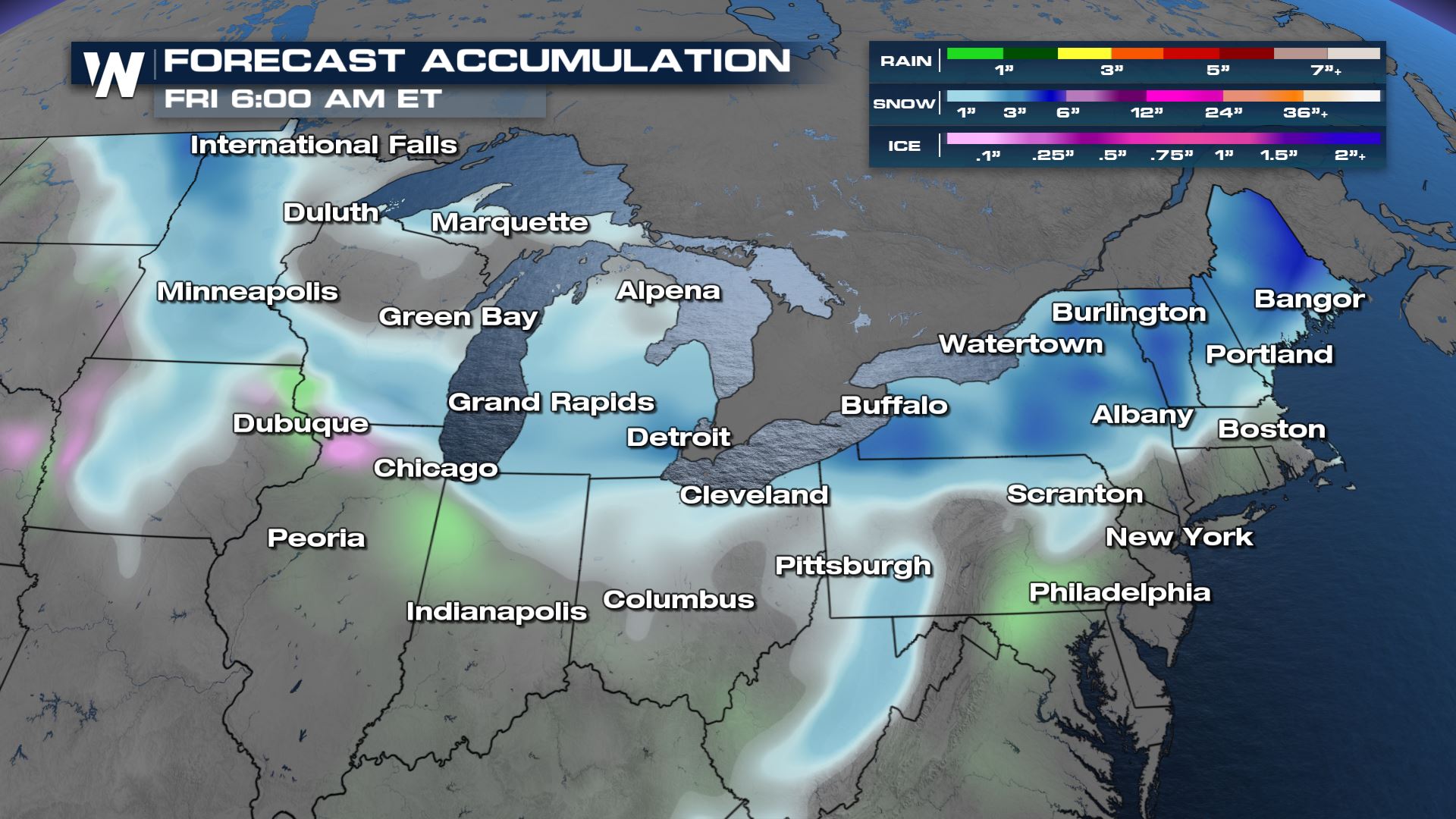
All Weather News
More

Flooding, Severe Storms Target the Midwest Again
After an active week of storms across the nor
1 Aug 2026 1:40 AM


After Reaching Category 5, Genevieve Weakens in the Pacific
PacificFausto is now a post-tropical cyclone.
31 Jul 2026 1:30 AM

Flooding Risk Increases as Heavy Rain Targets the Tri-State Area
Tuesday, heavy rainfall moved across the Nort
30 Jul 2026 12:25 AM

Severe Weather: Energy From the Midwest Now in the Southeast
UPPER MIDWEST - Through Monday, dangerous tor
29 Jul 2026 10:30 PM