Gulf Coast: Heightened Flood Risk
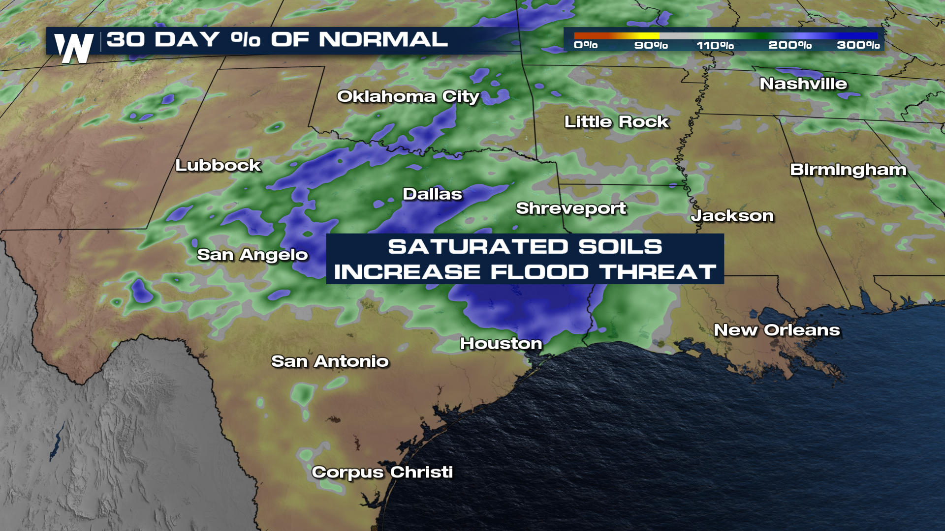
Many cities from Texas, Oklahoma, Louisiana, Mississippi, Arkansas, and into the rest of the southeast have seen a surplus of rainfall over the last 30 days which has led to a heightened flooding risk with upcoming rounds of rainfall and storms. The areas highlighted in blue and green below have seen 200 to over 300% above the 30-day percentage of normal. It's been an especially wet start to the year across many southern cities, but Dallas Texas has had so much rainfall it's been the THIRD wettest start to the year wringing in at nearly 30" of rainfall since January.
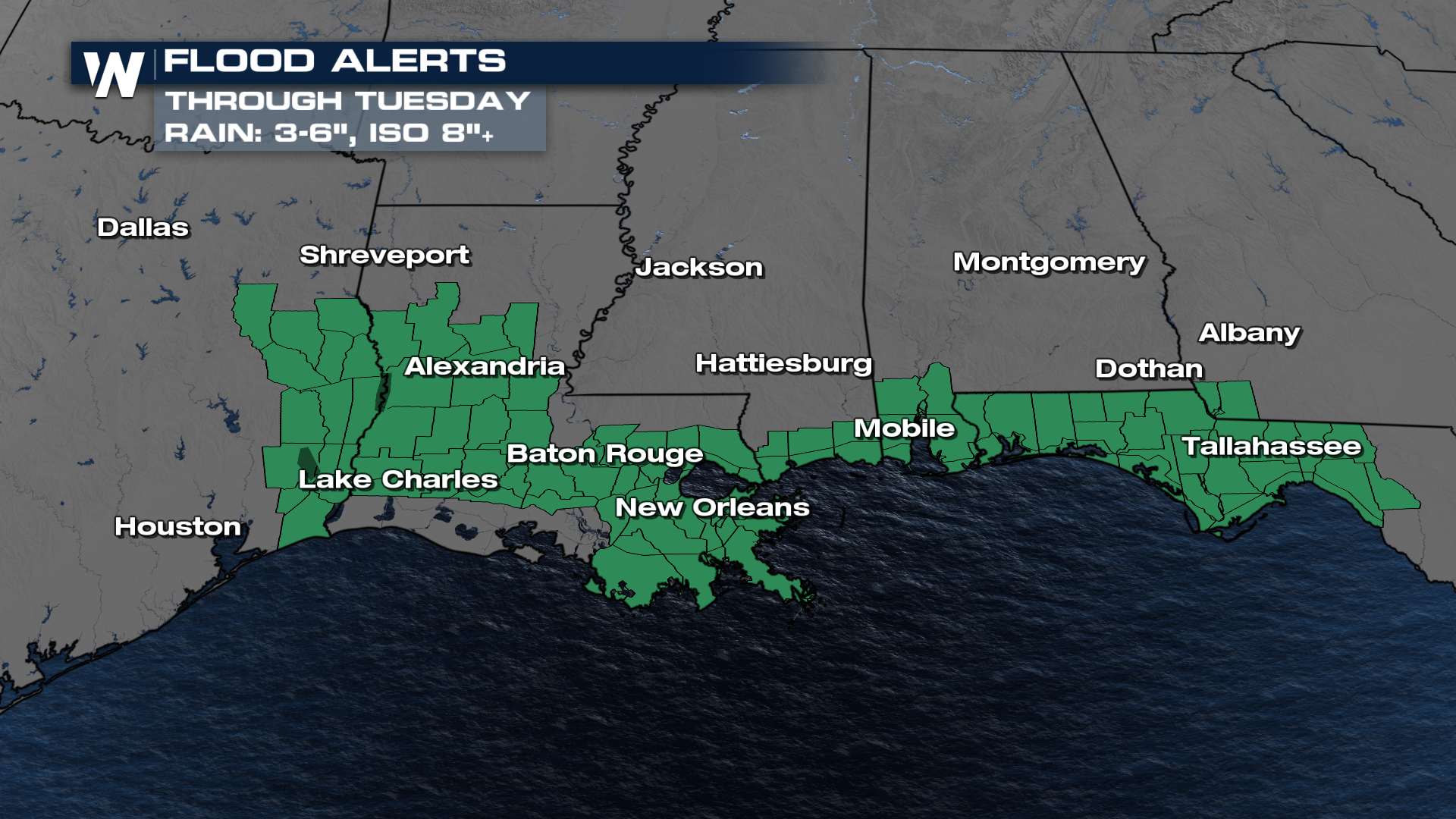
 More rain is on the way in the Deep South through Tuesday morning. A flood watch has been issued for portions of Texas, Louisiana, Mississippi, Alabama, and western Florida through Tuesday. Between 3" to 6" of widespread rainfall is possible with locally higher totals over 8" according to the National Weather Service. Read more here for the severe weather components: Storms Move East Monday
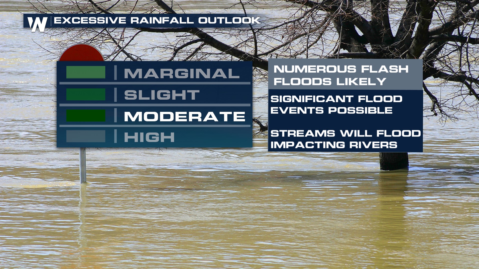
 Multiple rounds of storms that continue into Tuesday will keep the flooding potential going across the south and southeast. This is why another MODERATE (level 3 out of 4) risk for flash flooding continues. The threat includes southern Mississippi, southeast Louisiana, and lower Alabama for the greatest risk of flash flooding.
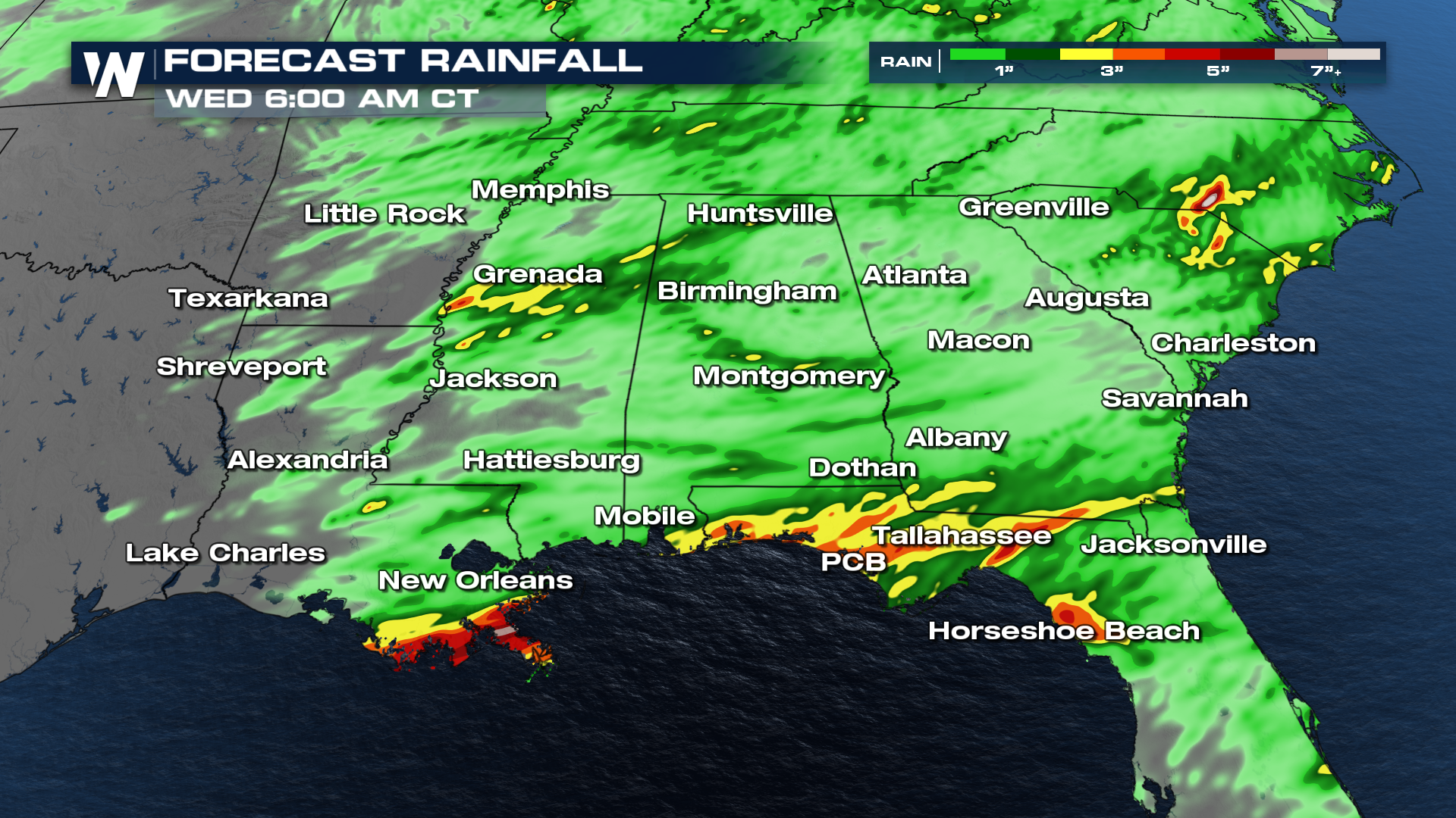
 Forecast models exceed 3-5" of rainfall across these spots through Wednesday, so be cautious in flood waters. Some models also show rainfall rates as quick as 1.5" in 3 hours, accelerating the potential for flash flooding.
